1970s Maps of Dallam County, Texas
Explore 28 historic maps of Dallam County from the 1970s. These maps offer a rare glimpse into what life looked like during the 1970s — showing old roads, neighborhoods, homes, and landmarks that have changed or disappeared over time.
Whether you're researching your family's past, planning a metal detecting trip, or studying how Dallam County's landscape evolved across the 1970s, these high-resolution maps are a powerful tool for exploring the history of this region.
- Focus on a specific era: All maps on this page are from the 1970s, giving you a focused view of this time period.
- See what’s changed: Compare century-old streets, trails, and buildings to today's modern landscape using overlays and satellite layers.
- Research with precision: Use these maps for genealogy, historical research, land use analysis, or educational projects.
- View, download, or print: Maps are fully viewable online in high resolution, and can be downloaded or printed for your own records.
Start exploring Dallam County's history through authentic maps from the 1970s. This is your window into the past.
Dallam County, TX maps
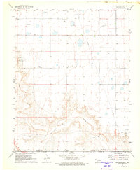
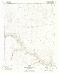
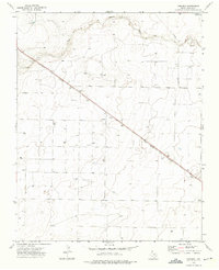
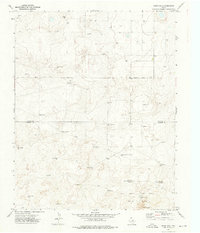
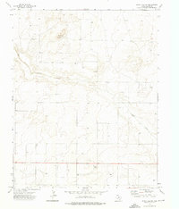
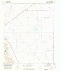
(28)- 1970 Map of Texline South, 1973 Print
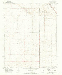 1970 Texline South1973 Print · USGSThe high plains of the New Mexico and Texas border come alive in this early 1970s survey of the railroad town of Texline. Genealogists and researchers can trace rural infrastructure along the Fort Worth and Denver rail line, Perico Creek, and Carrizo Creek.
 - 1970 Map of Texline North, 1973 Print
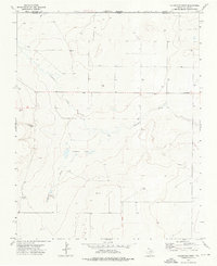
 1970 Texline North1973 Print · USGSThe high plains borderland at the New Mexico and Texas line is captured here in the early seventies as a hub of rail and ranching life. Researchers can trace the junction of the Ft Worth and Denver railroad near Texline and locate local landmarks like the Rodeo Ground and Worsham.
 - 1970 Map of Sedan SE, 1973 Print
 1970 Sedan SE1973 Print · USGSThe high plains along the border of New Mexico and Texas are captured here during the 1970 field check. Researchers can locate the isolated Shaha Cem and trace the path of Tramperos Creek across the county lines of Union, Dallam, and Hartley.
 - 1970 Map of Sedan NE, 1973 Print
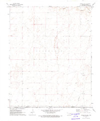
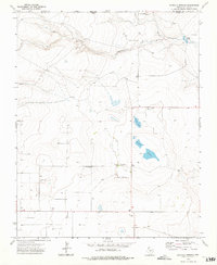
 1970 Sedan NE1973 Print · USGSThe high plains of the New Mexico and Texas border come into focus in the early 1970s, showing a landscape defined by ranching and water management. Researchers can trace the settlement at Campsey and follow the path of Carrizo Creek past numerous remote wells.2 unique versions available
 - 1971 Map of Griggs SW, 1973 Print
 1971 Griggs SW1973 Print · USGSThe Oklahoma-Texas borderlands are captured here in the early seventies as the High Plains drop into the river breaks. Researchers can locate the Marella Cem, trace the Beaver River, and find the rural Plainview Sch near active Oil Fields.
 - 1971 Map of Conrad SW, 1973 Print
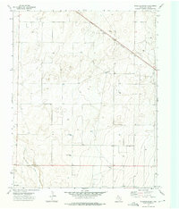
 1971 Conrad SW1973 Print · USGSThe Oklahoma-Texas borderlands are captured in the early seventies, showing a landscape of high plains and river drainage. Researchers can trace the path of the A T & S F railroad or locate remote infrastructure like the Landing Strip and Caliche Pit.
 - 1971 Map of Conrad, 1973 Print
 1971 Conrad1973 Print · USGSThe Oklahoma Panhandle and North Texas borderlands meet in this early 1970s survey of the high plains. Researchers can trace the Atchison Topeka and Santa Fe rail line past Conrad toward the Beaver River and Ritner Lake.
 - 1972 Map of Rardin Hill, 1975 Print
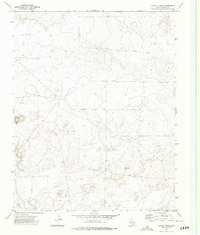
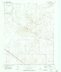
 1972 Rardin Hill1975 Print · USGSThe high plains of Union County meet the Oklahoma and Texas borders in the early 1970s, showing a ranching landscape defined by survey lines and water. Genealogists and historians can locate Creeds Chapel Cem, the settlement of Hoover, and family-named landmarks like Mason Windmill.
 - 1973 Map of Stratford 2 NW, 1975 Print
 1973 Stratford 2 NW1975 Print · USGSThe northern Panhandle landscape during the early 1970s reveals a quiet ranching territory straddling the Oklahoma-Texas line. Researchers can trace the winding course of Coldwater Creek past isolated landmarks like Sneed and Lost Camp.2 unique versions available
 - 1973 Map of Buffalo Springs, 1975 Print
 1973 Buffalo Springs1975 Print · USGSThe northern Texas Panhandle meets the Oklahoma border in this early 1970s survey. Genealogists and researchers can trace the landscape around Buffalo Springs, Thompson Grove, and the seasonal Alkali Lakes.
 - 1973 Map of Wharton Ranch, 1975 Print
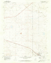
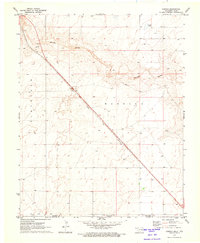
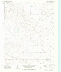
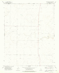
 1973 Wharton Ranch1975 Print · USGSDallam County ranching country is documented here in the early seventies, centered on the vital rail and water infrastructure of the High Plains. Trace family-named landmarks and water sources like Wharton Ranch, Badenhop Well, and the Fort Worth and Denver line.
 - 1973 Map of Tovrea Ranch, 1975 Print
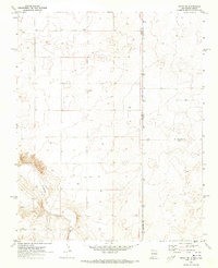
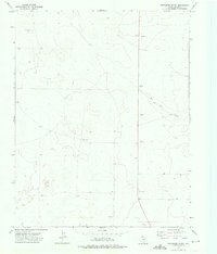
 1973 Tovrea Ranch1975 Print · USGSDallam County ranching country is captured here in the early 1970s, showing a landscape defined by water and infrastructure. Researchers can trace the drainage of Rito Blanca Creek and locate the historic Tovrea Ranch and industrial Pipeline routes.
 - 1973 Map of Corlena, 1975 Print
 1973 Corlena1975 Print · USGSThe Texas Panhandle in the early seventies is captured here through the lens of its railroad life and cattle-country landscape. Genealogists and historians can trace the Fort Worth and Denver line through Corlena and Perico, or locate St Marys Church.
 - 1973 Map of Perico, 1975 Print
 1973 Perico1975 Print · USGSThe high plains of Dallam County in the early seventies are defined by the intersection of rail and ranchland. Trace the corridor of the Fort Worth and Denver railroad through Perico or follow the path of Rita Blanca Creek.
 - 1973 Map of Canyon School, 1975 Print
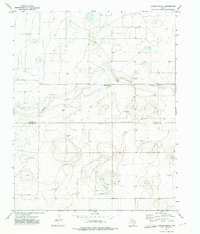 1973 Canyon School1975 Print · USGSDallam and Hartley counties in the Texas Panhandle are shown here during the early seventies, a landscape defined by the search for water. Genealogists can locate family-named landmarks like Dulaney Well, Allen Well, and the centrally located Canyon School.
 - 1973 Map of Bolin NE, 1976 Print
 1973 Bolin NE1976 Print · USGSDallam County ranching and rail operations are captured here during the early seventies. Genealogists and local historians can trace named landmarks like Little Duck Well, Two Story Well, and the path of the Fort Worth and Denver railroad.
 - 1973 Map of Windy Hill, 1976 Print
 1973 Windy Hill1976 Print · USGSThe high plains of the Texas Panhandle in the early seventies reveal a landscape of remote cattle operations and vital water infrastructure. Researchers can trace historic property boundaries and ranching life through Bagot Ranch, the Dipping Vat Well, and the Red White and Blue Sand Hills.
 - 1973 Map of Corlena NW, 1976 Print
 1973 Corlena NW1976 Print · USGSDallam County and the Oklahoma state line meet in the early 1970s across this high-plains landscape. Researchers can trace the winding East Rita Blanca Creek, locate numerous isolated Well sites, and find localized industrial features like the Gravel Pit.
 - 1973 Map of Bolin, 1976 Print
 1973 Bolin1976 Print · USGSThe High Plains of Dallam County come into focus during the early 1970s, showcasing a landscape defined by ranching and rail. You can trace the Fort Worth and Denver line past the Grain Elevator at Ware and locate specific family-named landmarks like Matlock Well.
 - 1973 Map of Wells Ranch, 1976 Print
 1973 Wells Ranch1976 Print · USGSThe High Plains along the border of Dallam and Hartley counties are captured here in the early seventies, when ranching relied on a vast network of water stations. Trace local history through family-named sites like Wells Ranch and XIT Bennett Well.
 - 1973 Map of Windy Hill NW, 1976 Print
 1973 Windy Hill NW1976 Print · USGSDallam County ranchlands in the early seventies reveal a landscape of remote outposts and essential water infrastructure. Genealogists and historians can trace the locations of Higgins Sandhill Windmill, the settlement of Knight, and the path of Carrizo Creek.
 - 1973 Map of Coldwater West, 1976 Print
 1973 Coldwater West1976 Print · USGSThe high plains along the Texas and Oklahoma border come into focus in the early seventies, showing a landscape shaped by intermittent water and ranching. Researchers can trace the drainage of Coldwater Creek and locate vital sources like Government Spring and Potato Spring.
 - 1973 Map of Coldwater East, 1976 Print
 1973 Coldwater East1976 Print · USGSThe Texas Panhandle meets Oklahoma in the early 1970s as agricultural irrigation and ranching shape the land. Trace the course of Coldwater Creek past Coldwater or locate Aqua Fria Spring and several remote Gravel Pits.
 - 1973 Map of Pritchard Ranch, 1976 Print
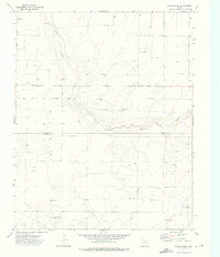
 1973 Pritchard Ranch1976 Print · USGSDallam County ranching and resource extraction are captured here in the early seventies, showing a landscape defined by the Texas Panhandle range. Researchers can trace land use through local landmarks like Pritchard Ranch, the winding Red Cow Draw, and specific sites named Nickel and Dime.
 - 1973 Map of Dalhart East, 1976 Print
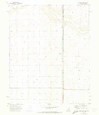
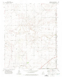
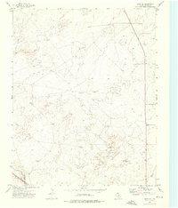
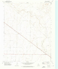
 1973 Dalhart East1976 Print · USGSThe Texas Panhandle city of Dalhart thrives at the crossing of major rail lines in the early seventies. Researchers can trace the Chicago Rock Island and Pacific tracks and locate landmarks like the Drive-in Theater and Miller Airfield.
Showing maps 1-25 of 28
Top cities of Dallam County
Frequently asked questions
- What are the different types of historical maps available for Dallam County?
- What is the oldest map of Dallam County?
- Where can I purchase historical maps of Dallam County for my home or office?
- Where can I download high-res historical maps of Dallam County?
- Are there historical topographic maps available for Dallam County?
- Is there historical aerial imagery available for Dallam County?
- Where are historical maps of Dallam County sourced from?