2020s Maps of Dallam County, Texas
Explore 43 historic maps of Dallam County from the 2020s. These maps offer a rare glimpse into what life looked like during the 2020s — showing old roads, neighborhoods, homes, and landmarks that have changed or disappeared over time.
Whether you're researching your family's past, planning a metal detecting trip, or studying how Dallam County's landscape evolved across the 2020s, these high-resolution maps are a powerful tool for exploring the history of this region.
- Focus on a specific era: All maps on this page are from the 2020s, giving you a focused view of this time period.
- See what’s changed: Compare century-old streets, trails, and buildings to today's modern landscape using overlays and satellite layers.
- Research with precision: Use these maps for genealogy, historical research, land use analysis, or educational projects.
- View, download, or print: Maps are fully viewable online in high resolution, and can be downloaded or printed for your own records.
Start exploring Dallam County's history through authentic maps from the 2020s. This is your window into the past.
Dallam County, TX maps
(43)- 2020 Map of Sedan NE, 2020 Print
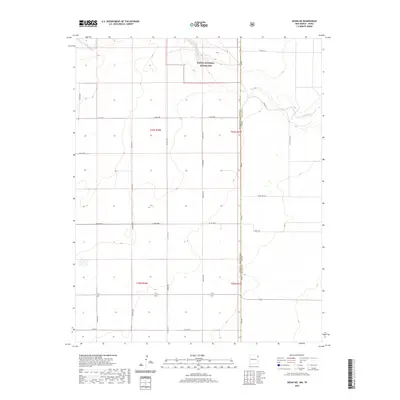 2020 Sedan NE2020 Print · USGSCovers Dallam County, including Union County, United States, and other nearby areas
 - 2020 Map of Sedan SE, 2020 Print
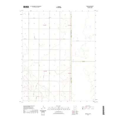 2020 Sedan SE2020 Print · USGSCovers Dallam County, including Union County, Hartley County, and other nearby areas
 - 2020 Map of Rardin Hill, 2020 Print
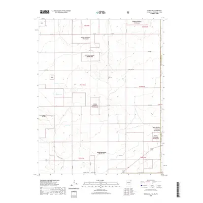 2020 Rardin Hill2020 Print · USGSCovers Dallam County, including Cimarron County, Union County, and other nearby areas
 - 2022 Map of Conrad, 2022 Print
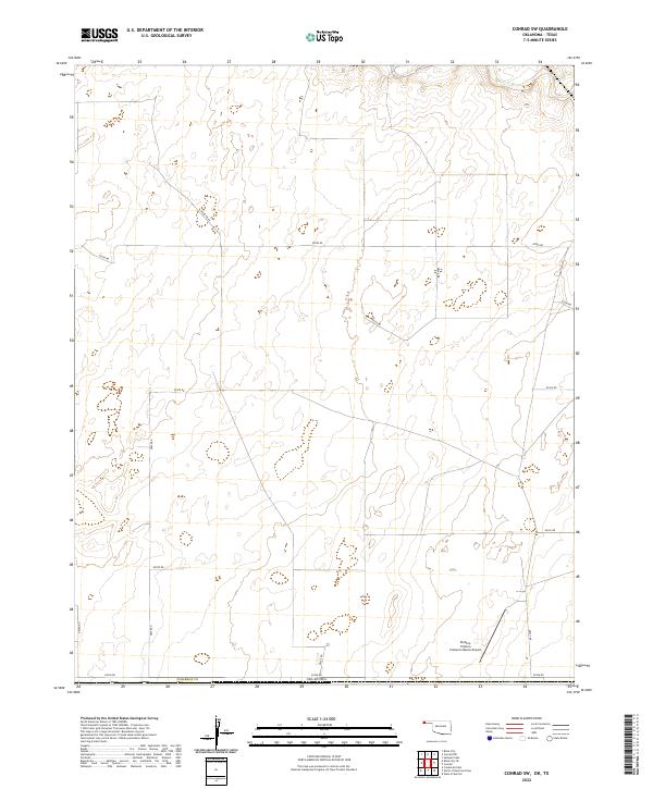
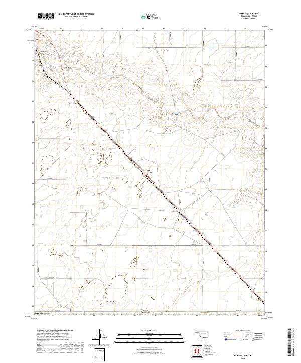 2022 Conrad2022 Print · USGSThe High Plains of the Oklahoma Panhandle are documented here during a period of modern rural development. Researchers can trace the section-line roads and water sources like the Beaver River, Ritner Lake, and the settlement of Conrad.
 - 2022 Map of Griggs SW, 2022 Print
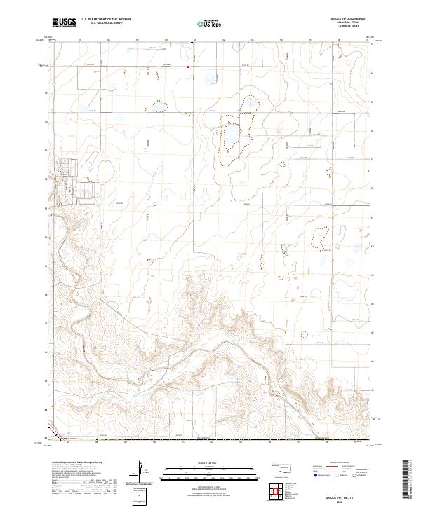 2022 Griggs SW2022 Print · USGSCimarron County, Oklahoma, is surveyed here in the early twenty-first century, showing the rugged breaks and high plains of the Panhandle. Genealogists and historians can trace the paths of Beaver River and the grid of section-line roads like E0300 Rd.
 - 2022 Map of Conrad SW, 2022 Print
 2022 Conrad SW2022 Print · USGSThe high plains of Cimarron County appear here in the early twenty-first century, organized by an extensive grid of section-line roads. Map collectors and local researchers can trace the course of the Beaver River or locate the Perkins-Prothro Cimarron Ranch Airport among the area's many ranch roads.
 - 2022 Map of Felt SW, 2022 Print
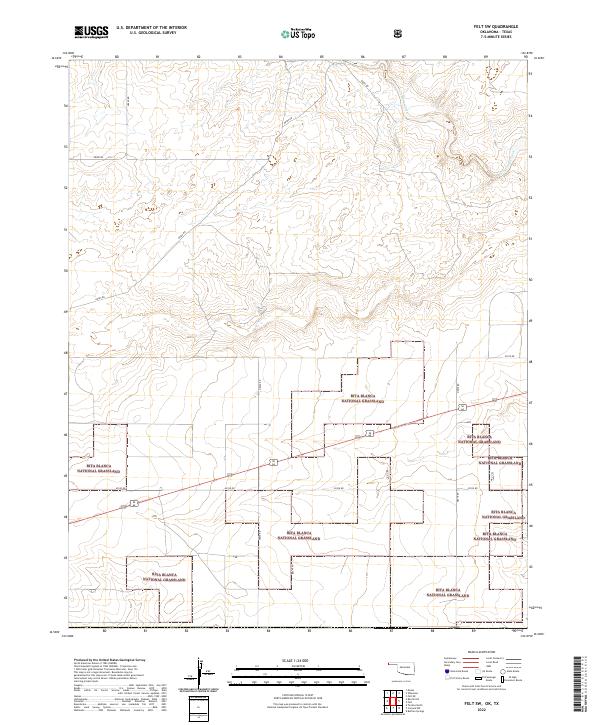 2022 Felt SW2022 Print · USGSThe Oklahoma Panhandle is defined by its sweeping prairie and section-line roads in the early twenty-first century. Researchers can trace land parcels and the winding course of Corrumpa Creek through the Rita Blanca National Grassland.
 - 2022 Map of Felt, 2022 Print
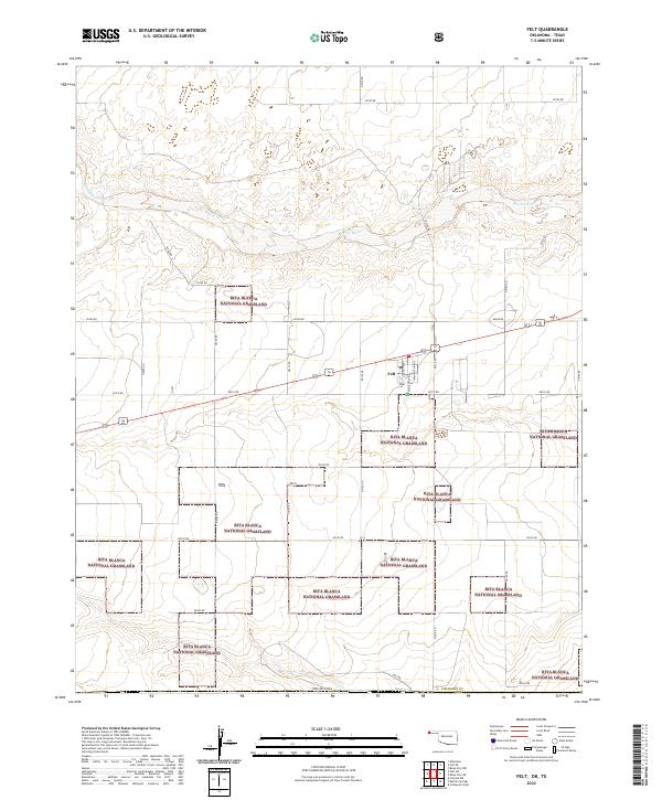 2022 Felt2022 Print · USGSThe Oklahoma Panhandle near the Texas border is captured here in the early 2020s, dominated by the shortgrass prairie. Researchers can trace the layout of Felt and the dispersed holdings of the Rita Blanca National Grassland along the Beaver River.
 - 2022 Map of Boise City SE, 2022 Print
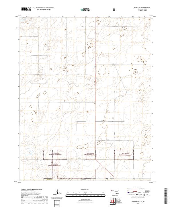 2022 Boise City SE2022 Print · USGSCimarron County's high plains are captured here in the early twenty-first century, showcasing the intersection of federal lands and rural life. Researchers can trace the boundaries of the Rita Blanca National Grassland and the course of the Beaver River.
 - 2022 Map of Boise City SW, 2022 Print
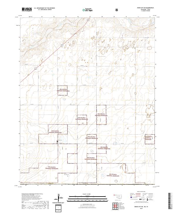 2022 Boise City SW2022 Print · USGSCimarron County, Oklahoma, in the early 2020s shows a landscape of recovery and preservation within the Rita Blanca National Grassland. Researchers can locate legacy family burial grounds like Bertrand Cem and Rammage Cem near the Beaver River.
 - 2022 Map of Windy Hill NW, 2022 Print
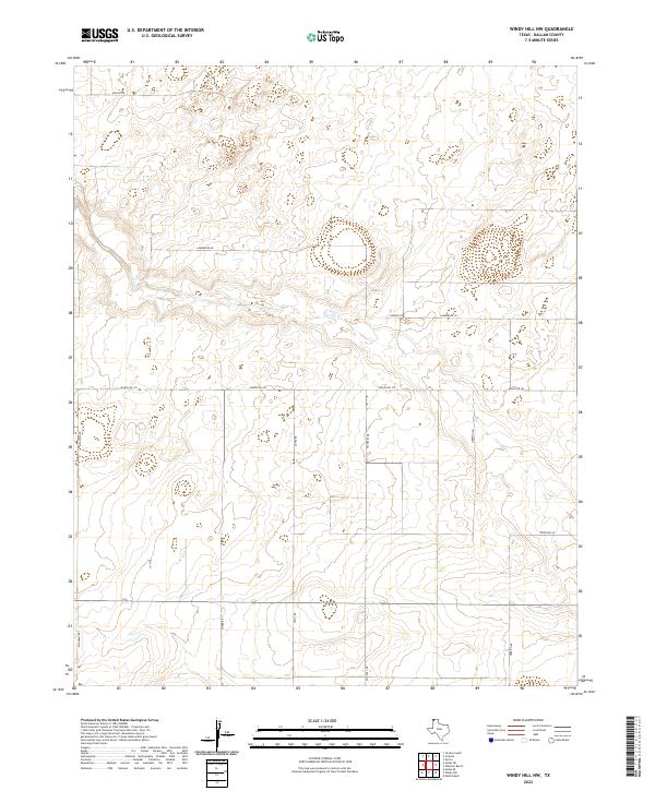 2022 Windy Hill NW2022 Print · USGSModern ranching life in Dallam County is defined by the open range and the winding path of Carrizo Cr. Researchers can trace old family land holdings through named routes like Lamberger Rd, Yoder Rd, and Herring Rd.
 - 2022 Map of Wilco NE, 2022 Print
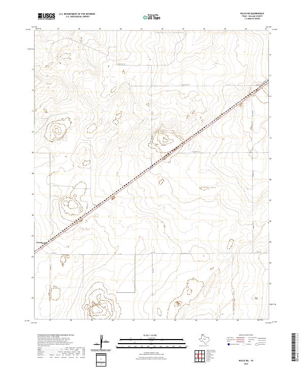 2022 Wilco NE2022 Print · USGSThe Texas Panhandle plains of Dallam County are shown here in the 2020s, dominated by wide-open ranch land and agricultural grids. Trace the rail corridor through Chamberlin or follow rural family routes like Corbitt Rd and Rock Hill Rd.
 - 2022 Map of Wells Ranch, 2022 Print
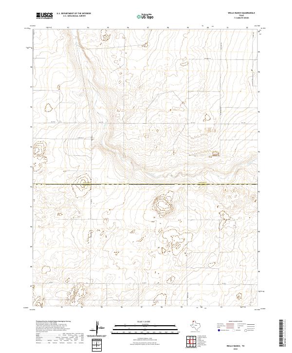 2022 Wells Ranch2022 Print · USGSThe Texas Panhandle plains are documented in this recent survey of the border between Dallam County and Hartley County. Researchers can trace rural infrastructure and family ranch access via Richards Ln, Gandy Rd, and Carrizo Cr.
 - 2022 Map of Exum, 2022 Print
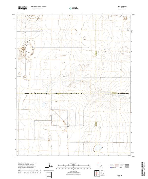 2022 Exum2022 Print · USGSThe high plains of the Texas Panhandle are captured here at the junction of four counties near Exum. Genealogists and researchers can trace rural land divisions along N Palo Duro Cr and follow local routes like Summerour Ln and Ranch Rd 297.
 - 2022 Map of Bolin NE, 2022 Print
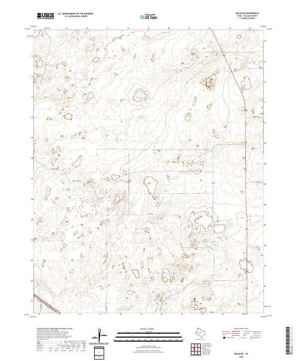 2022 Bolin NE2022 Print · USGSDallam County at the northern edge of the Texas Panhandle is shown here in its modern agricultural layout. Researchers can trace land use patterns along Rita Blanca Cr and follow local family history through landmarks like Hoss Carter Rd and Mackey Rd.
 - 2022 Map of Dalhart West, 2022 Print
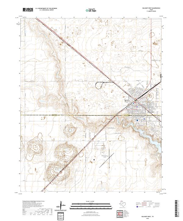 2022 Dalhart West2022 Print · USGSDalhart sits at the junction of the Texas Panhandle's cattle and rail country in the early twenty-first century. Researchers can trace the city’s expansion from the Dallam County Courthouse toward Rita Blanca Lake and the Dalhart Municipal Airport.
 - 2022 Map of Chamberlin, 2022 Print
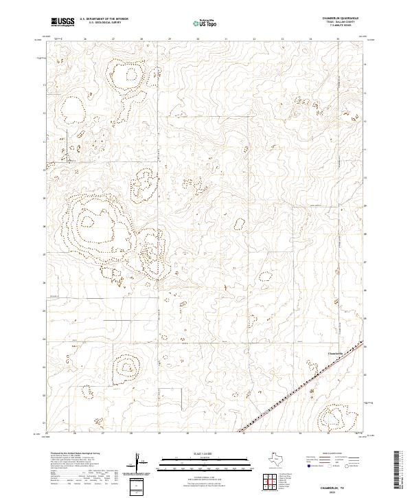 2022 Chamberlin2022 Print · USGSDallam County at the start of the 2020s remains a landscape of wide-open ranching and precise agricultural grids. Researchers can trace rural family holdings along Andy James Rd, Chamberlain Rd, and near the settlement of Chamberlin.
 - 2022 Map of Wharton Ranch, 2022 Print
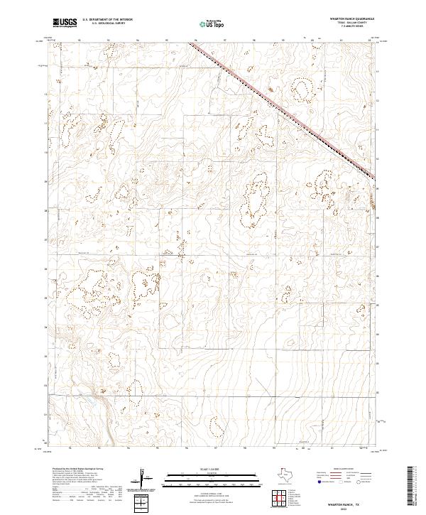 2022 Wharton Ranch2022 Print · USGSDallam County ranching country is shown here in the modern era, where vast rangelands are carved by a precise grid of rural thoroughfares. Researchers can trace land tracts along Bezner Ln and Barth Rd, or follow the course of Carrizo Cr across the southern plains.
 - 2022 Map of Canyon School, 2022 Print
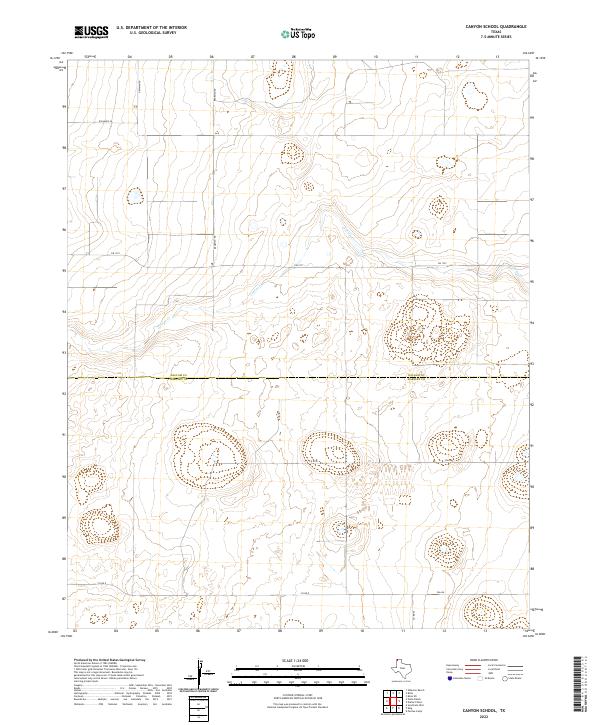 2022 Canyon School2022 Print · USGSThe rural Panhandle is documented here in the early twenty-first century, showing the intersection of Dallam and Hartley counties. Researchers can trace the path of Carrizo Creek or locate family lands near Brorman Rd and Newman Rd.
 - 2022 Map of Windy Hill, 2022 Print
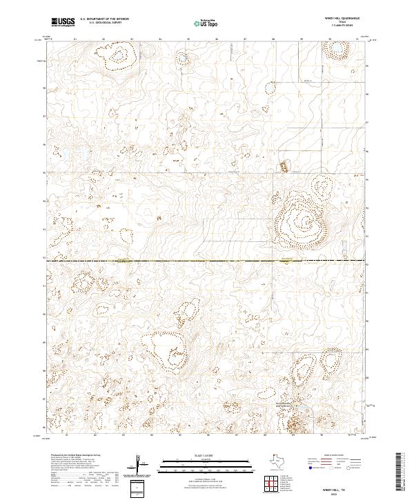 2022 Windy Hill2022 Print · USGSThe high plains of the Texas Panhandle meet at the border of Dallam and Hartley counties in this modern topographic survey. Researchers can trace land use patterns and family holdings through landmarks like Lake Windmill and the Red White and Blue Sand Hills.
 - 2022 Map of Red Cow Draw, 2022 Print
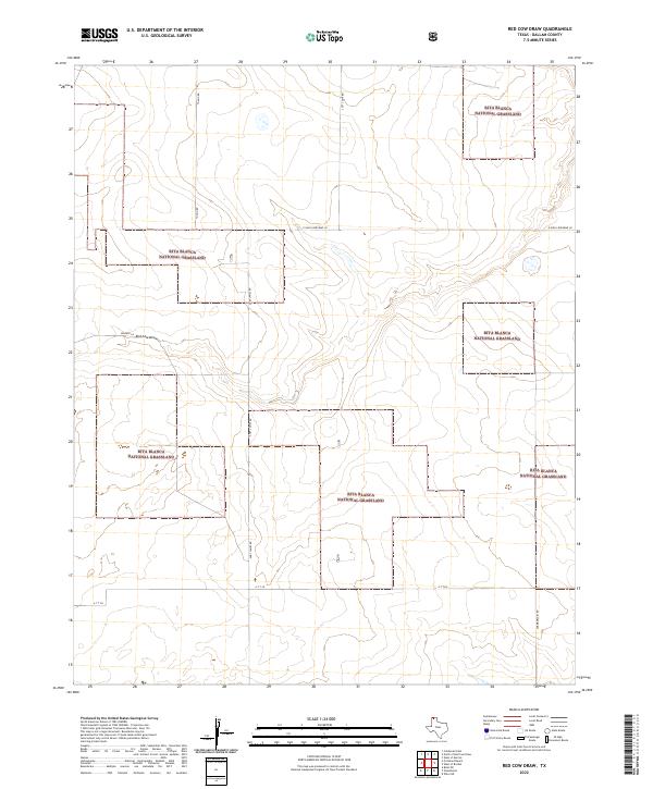 2022 Red Cow Draw2022 Print · USGSDallam County in the modern era reveals a landscape of protected prairies and remote ranching routes near the state line. Genealogists and historians can trace family-named pathways like Andy James Rd and Bowers Ln across the Rita Blanca National Grassland.
 - 2022 Map of Bolin, 2022 Print
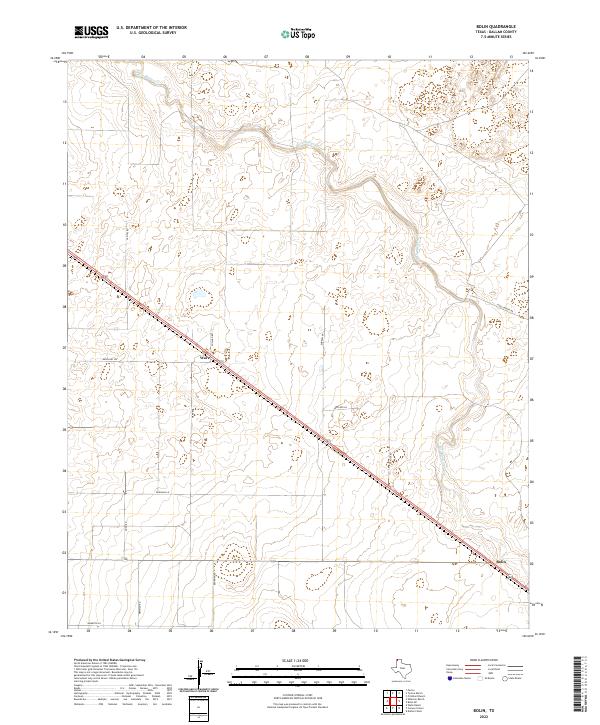 2022 Bolin2022 Print · USGSThe Texas Panhandle comes into focus during the late twenty-tens, showing a landscape defined by ranching and the diagonal reach of Highway 87. Local researchers can trace the rural infrastructure around Ware and Bolin or follow the path of Rita Blanca Cr.
 - 2022 Map of Corlena, 2022 Print
 2022 Corlena2022 Print · USGSDallam County's high plains are preserved in the early twenty-first century through a patchwork of public and private lands. Genealogists and historians can locate the Perico Cem and trace the drainage of W Rita Blanca Cr past Hershey Ln.
 - 2022 Map of Texline North, 2022 Print
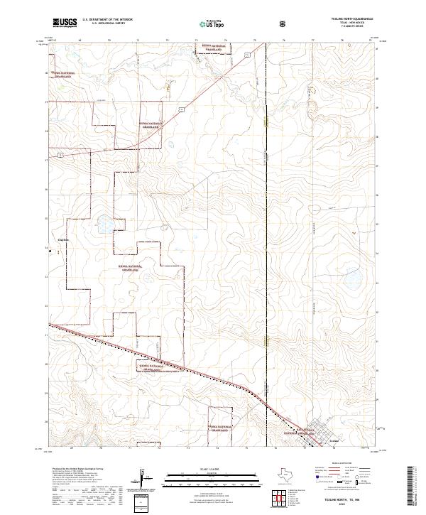 2022 Texline North2022 Print · USGSThe high plains of the Texas-New Mexico border are captured here in the early 2020s, showing a landscape defined by federal grasslands and cattle country. Genealogists and researchers can trace the street grid of Texline or follow rural routes like Stirrup Rd and Clark Ln through the Kiowa National Grassland.
 - 2022 Map of Conlen, 2022 Print
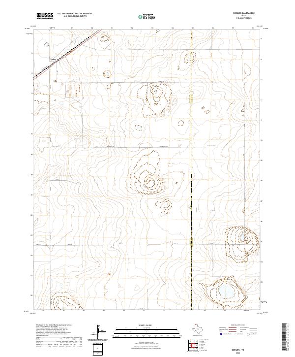 2022 Conlen2022 Print · USGSThe high plains of the Texas Panhandle are captured here in the early twenty-first century, centered on the community of Conlen. Researchers can trace the rural road network and county lines of Dallam Co and Sherman Co along routes like FM 807 and RANCH RD 2899.
Showing maps 1-25 of 43
Top cities of Dallam County
Frequently asked questions
- What are the different types of historical maps available for Dallam County?
- What is the oldest map of Dallam County?
- Where can I purchase historical maps of Dallam County for my home or office?
- Where can I download high-res historical maps of Dallam County?
- Are there historical topographic maps available for Dallam County?
- Is there historical aerial imagery available for Dallam County?
- Where are historical maps of Dallam County sourced from?