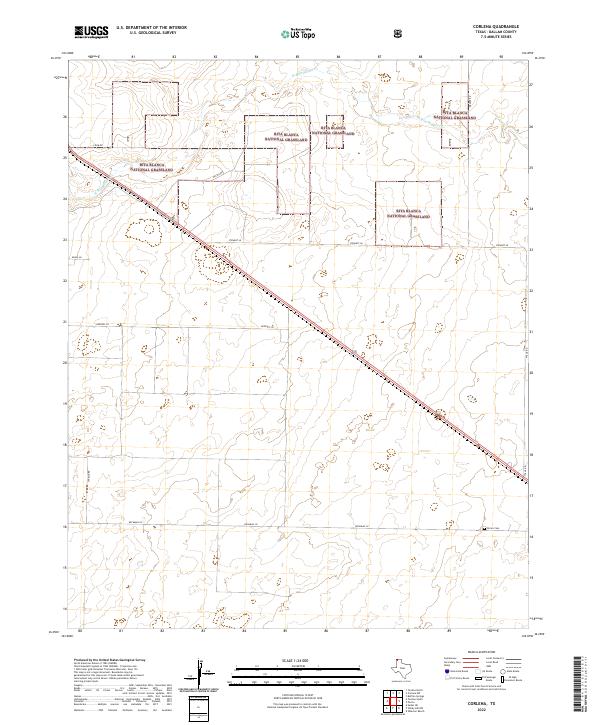
2022 Map of Corlena
USGS Topo · Published 2022About this map
Rita Blanca National Grassland dominates this high plains landscape in the Texas Panhandle, where segmented parcels of protected prairie alternate with private rangeland. The terrain is defined by the ephemeral drainage of W Rita Blanca Cr, which winds across the northern portion of the quadrangle. This area of Dallam County reflects a modern agricultural and conservation footprint, where large-scale land management is balanced against the grid of rural access roads like Hester Rd and Stewart Ln. For researchers focusing on the human imprint in this sparsely populated region, the Perico Cem stands as a significant historical landmark in the southeast, providing a focal point for local genealogy and the history of the early cattle-ranching communities that first settled this portion of the Llano Estacado.
Find a feature on this map
12 named features on this map. Tap any name to fly to it.
Don’t see what you’re looking for? This feature index may not catch every label — zoom into the map to look around manually.
Map Details
Editions of this 2022 Corlena Map
This is the sole edition of this map. No revisions or reprints were ever made.
Other maps of this area

1954 · Dalhart
USGS Topo · 1:250,000

1958 · Dalhart
USGS Topo · 1:250,000

1962 · Dalhart
USGS Topo · 1:250,000

1970 · Texline South
USGS Topo · 1:24,000

1970 · Texline North
USGS Topo · 1:24,000

1970 · Sedan NE
USGS Topo · 1:24,000

1973 · Buffalo Springs
USGS Topo · 1:24,000

1973 · Wharton Ranch
USGS Topo · 1:24,000

1973 · Corlena
USGS Topo · 1:24,000

1973 · Perico
USGS Topo · 1:24,000