
1973 Map of Perico
USGS Topo · Published 1975About this map
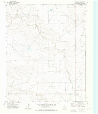
Rita Blanca Creek carves a winding path through this high plains landscape of Dallam County, defining the drainage patterns for the surrounding ranchlands. The settlement of Perico stands as a focal point in the southwest, situated along the critical transit corridor of the Fort Worth and Denver railroad. This rail line provided the primary connection for cattle and grain transport during the early 1970s, a period when the local economy relied heavily on these infrastructure links. A network of primitive routes, including a prominent Jeep Trail, crosses the undulating terrain, indicating the practical, work-oriented nature of land access at the time. Industrial activity is represented by a small Gravel Pit and a modern Pipeline, showing the incremental introduction of utility and resource extraction into this agricultural region.
Find a feature on this map
6 named features on this map. Tap any name to fly to it.
Don’t see what you’re looking for? This feature index may not catch every label — zoom into the map to look around manually.
Map Details
Editions of this 1973 Perico Map
This is the sole edition of this map. No revisions or reprints were ever made.
Other maps of this area

1954 · Dalhart
USGS Topo · 1:250,000

1958 · Dalhart
USGS Topo · 1:250,000

1962 · Dalhart
USGS Topo · 1:250,000

1973 · Buffalo Springs
USGS Topo · 1:24,000

1973 · Wharton Ranch
USGS Topo · 1:24,000

1973 · Tovrea Ranch
USGS Topo · 1:24,000

1973 · Corlena
USGS Topo · 1:24,000
1973 · Corlena NW
USGS Topo · 1:24,000

1973 · Bolin
USGS Topo · 1:24,000
1973 · Windy Hill NW
USGS Topo · 1:24,000