
1973 Map of Bolin
USGS Topo · Published 1976About this map
Rita Blanca Creek meanders through the northwest corner of this Dallam County landscape, a seasonal drainage defining the local topography. The region's economy in the early 1970s is clearly anchored by the Fort Worth and Denver railroad, which cuts a diagonal line across the plains. Vital infrastructure for the cattle and grain industries is clustered along this rail corridor, including the small settlements of Ware and Bolin.
Find a feature on this map
13 named features on this map. Tap any name to fly to it.
Don’t see what you’re looking for? This feature index may not catch every label — zoom into the map to look around manually.
Map Details
Editions of this 1973 Bolin Map
This is the sole edition of this map. No revisions or reprints were ever made.
Other maps of this area

1954 · Dalhart
USGS Topo · 1:250,000

1958 · Dalhart
USGS Topo · 1:250,000

1962 · Dalhart
USGS Topo · 1:250,000

1973 · Wharton Ranch
USGS Topo · 1:24,000

1973 · Tovrea Ranch
USGS Topo · 1:24,000

1973 · Perico
USGS Topo · 1:24,000

1973 · Canyon School
USGS Topo · 1:24,000

1973 · Bolin NE
USGS Topo · 1:24,000
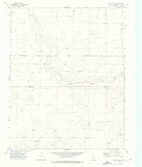
1973 · Wells Ranch
USGS Topo · 1:24,000
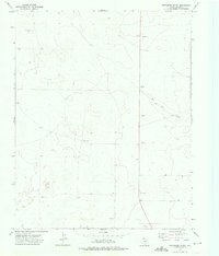
1973 · Pritchard Ranch
USGS Topo · 1:24,000