Old Maps of Gilpin, Texas for Hiking & Exploration
Hike through history with 8 historic maps of Gilpin. Explore old trails, ghost towns, and forgotten backroads — perfect for outdoor adventurers and local explorers.
- Rediscover forgotten places: Map out old mining camps, roads, and footpaths that no longer exist on modern maps.
- Layer with modern tools: Combine with LiDAR or satellite views to plan hikes through historical terrain.
- Made for exploration: Popular among hikers, overlanders, and local history lovers.
Use these maps to find adventure and explore the hidden past of Gilpin.
Gilpin, TX maps
(8)- 1954 Map of Lubbock, 1958 Print
 1954 Lubbock1958 Print · USGSThe High Plains and Caprock region of West Texas come alive in the mid-1950s, showing a landscape defined by oil discovery and the Brazos River headwaters. Genealogists and historians can trace rail-connected towns like Roaring Springs, find the Pleasant Valley church, or locate family-named landmarks such as Soldier Mound.4 unique versions available
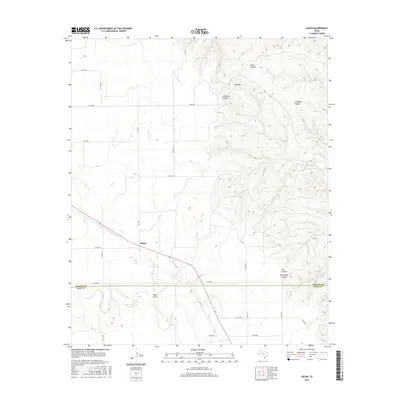
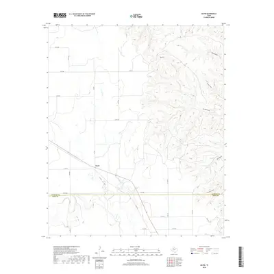
 - 1959 Map of Gilpin
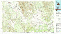
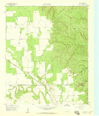 1959 Gilpin1959 Print · USGSThe West Texas ranchlands of Dickens and Kent counties are captured here in the late fifties, centered on the railroad siding of Gilpin. Researchers can trace the path of the Fort Worth and Denver line through the breaks of Duck Creek and Red Hill.
 - 1985 Map of Aspermont, 1994 Print
 1985 Aspermont1994 Print · USGSStonewall and Kent counties are shown in the mid-1980s as the river-cut plains of West Texas supported scattered ranching and oil communities. Genealogists and historians can trace the Railroad Grade and locate smaller locales like Old Glory and Girard.
 - 2010 Map of Gilpin, 2010 Print
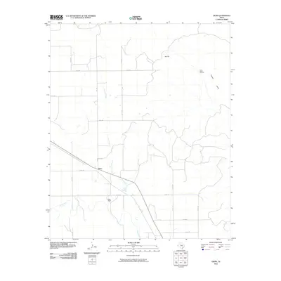 2010 Gilpin2010 Print · USGSCovers Gilpin, including Dickens County, Kent County, and other nearby areas
 - 2012 Map of Gilpin, 2012 Print
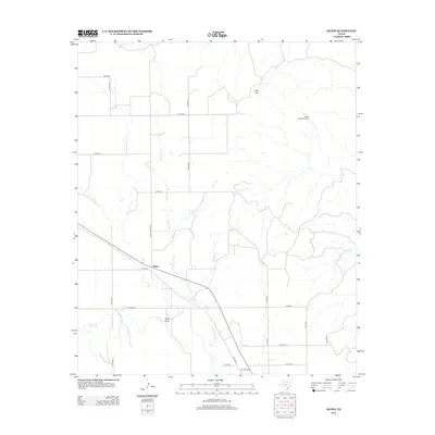 2012 Gilpin2012 Print · USGSCovers Gilpin, including Dickens County, Kent County, and other nearby areas
 - 2016 Map of Gilpin, 2016 Print
 2016 Gilpin2016 Print · USGSCovers Gilpin, including Dickens County, Kent County, and other nearby areas
 - 2019 Map of Gilpin, 2019 Print
 2019 Gilpin2019 Print · USGSCovers Gilpin, including Dickens County, Kent County, and other nearby areas
 - 2022 Map of Gilpin, 2022 Print
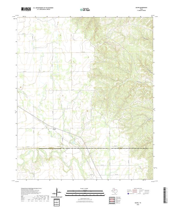 2022 Gilpin2022 Print · USGSGilpin and the surrounding Dickens County ranchlands are documented here in the early twenty-first century. Researchers can trace the rugged topography of Red Hill and the deep cuts of John Bell Canyon, Dark Canyon, and Sage Draw.
End of results
Showing maps 1-8 of 8
Top cities near Gilpin
Frequently asked questions
- What are the different types of historical maps available for Gilpin?
- What is the oldest map of Gilpin?
- Where can I purchase historical maps of Gilpin for my home or office?
- Where can I download high-res historical maps of Gilpin?
- Are there historical topographic maps available for Gilpin?
- Is there historical aerial imagery available for Gilpin?
- Where are historical maps of Gilpin sourced from?