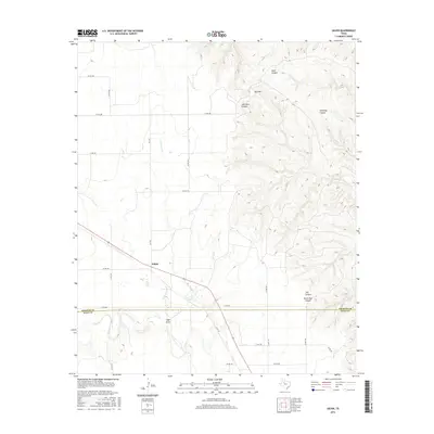
2016 Map of Gilpin
USGS Topo · Published 2016About this map
The Gilpin settlement serves as the primary focal point of this 2016 survey, situated where the rolling plains of West Texas meet a complex network of canyons and draws. This landscape is defined by the drainage patterns of Duck Cr and Dry Duck Cr, which carve through the terrain south of the Dickens Co Kent Co boundary. To the east and north, the topography becomes significantly more dissected, revealing numerous named landforms that reflect local nomenclature and perhaps family histories. Features such as John Bell Canyon, Dark Canyon, and North Pole Canyon characterize this broken ground. The map also identifies Red Hill and Getaway Canyon, providing a detailed look at the physical geography that influenced ranching and transit routes in this part of the state, including historic corridors like FM 3294.
Find a feature on this map
29 named features on this map. Tap any name to fly to it.
Don’t see what you’re looking for? This feature index may not catch every label — zoom into the map to look around manually.
Map Details
Editions of this 2016 Gilpin Map
This is the sole edition of this map. No revisions or reprints were ever made.
Other maps of this area

1954 · Lubbock
USGS Topo · 1:250,000
1958 · Pursley House
USGS Topo · 1:24,000
1958 · Jayton
USGS Topo · 1:24,000
1959 · Gilpin
USGS Topo · 1:24,000
1959 · Girard
USGS Topo · 1:24,000
1967 · Dickens South
USGS Topo · 1:24,000
1967 · Spur
USGS Topo · 1:24,000
1968 · Pitchfork Ranch
USGS Topo · 1:24,000
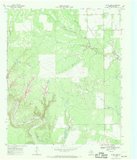
1968 · White Camp
USGS Topo · 1:24,000
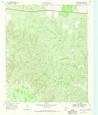
1968 · Croton Camp
USGS Topo · 1:24,000