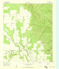
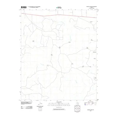
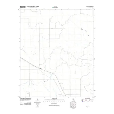
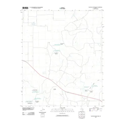
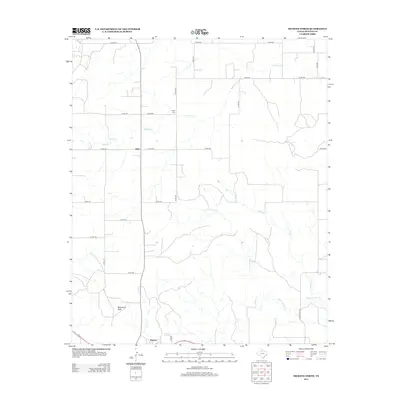
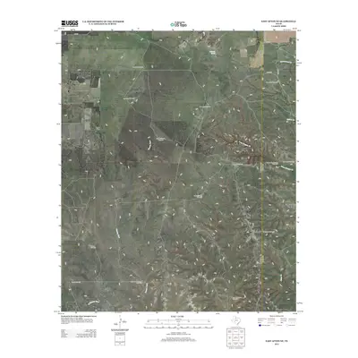
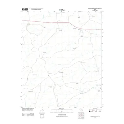
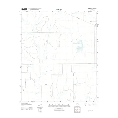
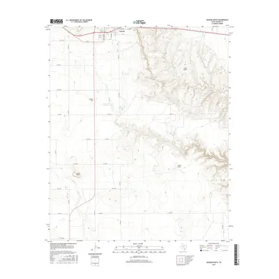
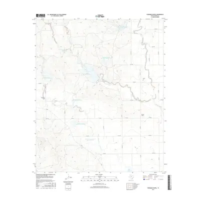
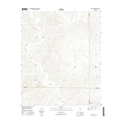
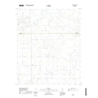
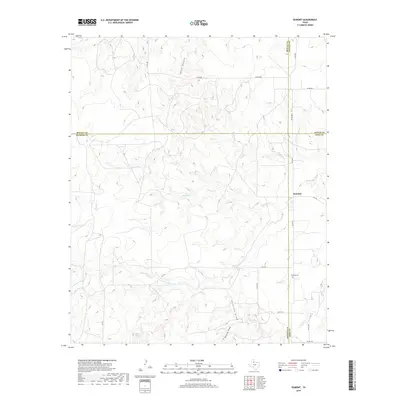
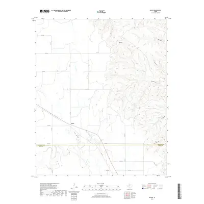
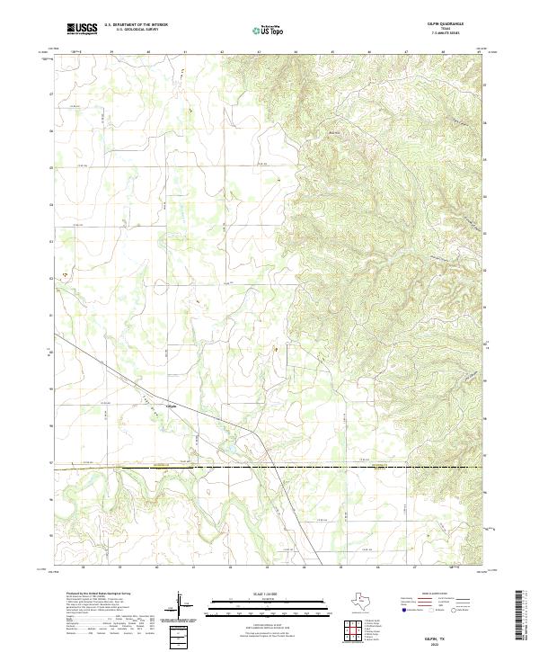
1959 Map of Gilpin
USGS Topo · Published 1959About this map
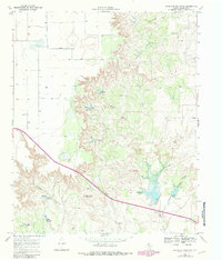
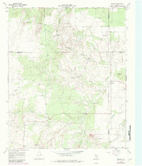
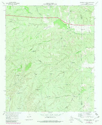
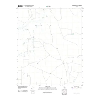
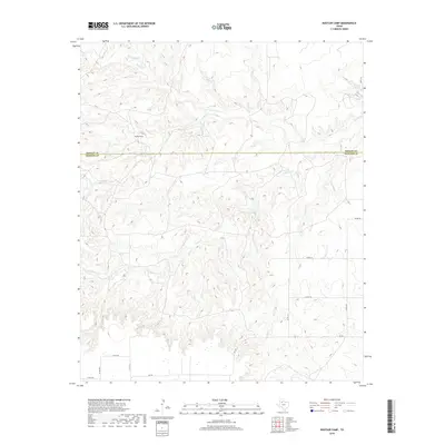
Gilpin stands as the primary settlement on this West Texas landscape, positioned where the Fort Worth and Denver (Burlington) railroad cuts diagonally across the terrain. The topography is defined by a complex drainage network including Sage Draw, Dry Duck Creek, and the main course of Duck Creek, which flows southward across the boundary between Dickens and Kent counties.
Find a feature on this map
15 named features on this map. Tap any name to fly to it.
Don’t see what you’re looking for? This feature index may not catch every label — zoom into the map to look around manually.
Map Details
Editions of this 1959 Gilpin Map
This is the sole edition of this map. No revisions or reprints were ever made.
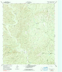
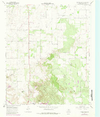
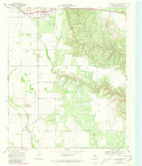
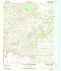
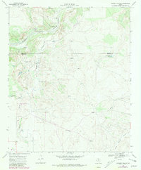
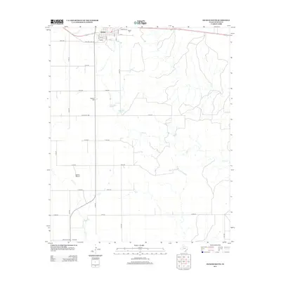
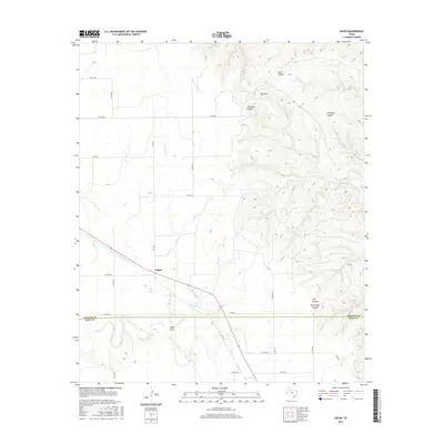
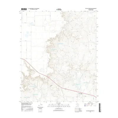
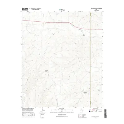
Historical Maps of Gilpin Through Time
90 maps found
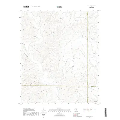
1958 Pursley House
Dickens County, TX
1959 Gilpin
Dickens County, TX
1967 Dickens North
Dickens County, TX
1967 Dickens South
Dickens County, TX
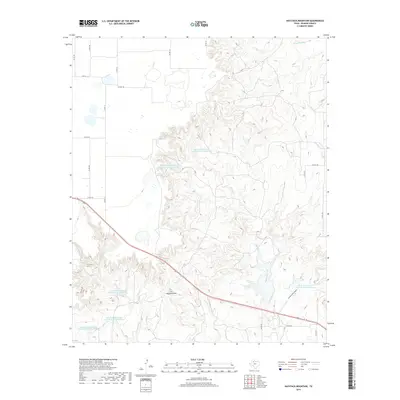
1967 Haystack Mountain
Dickens County, TX
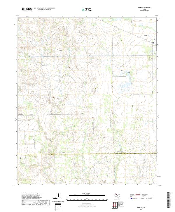
1967 Spur NW
Dickens County, TX
1968 Afton
Dickens County, TX
1968 Croton Camp
Dickens County, TX
1968 Dumont
Dickens County, TX
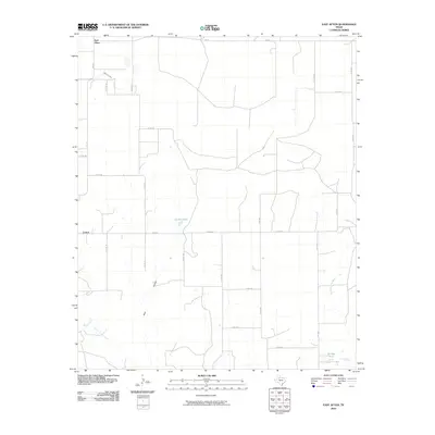
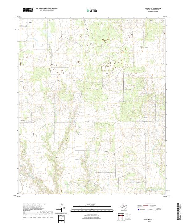
1968 East Afton
Dickens County, TX
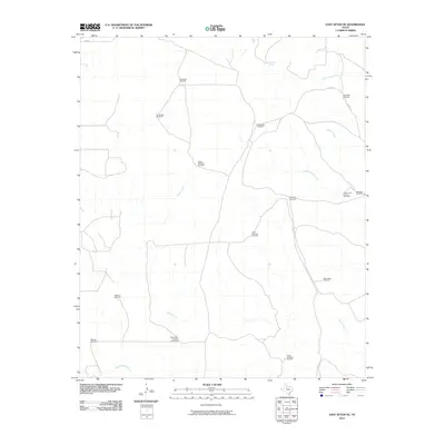
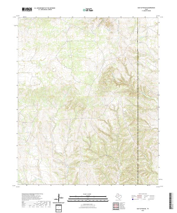
1968 East Afton NE
Dickens County, TX
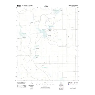
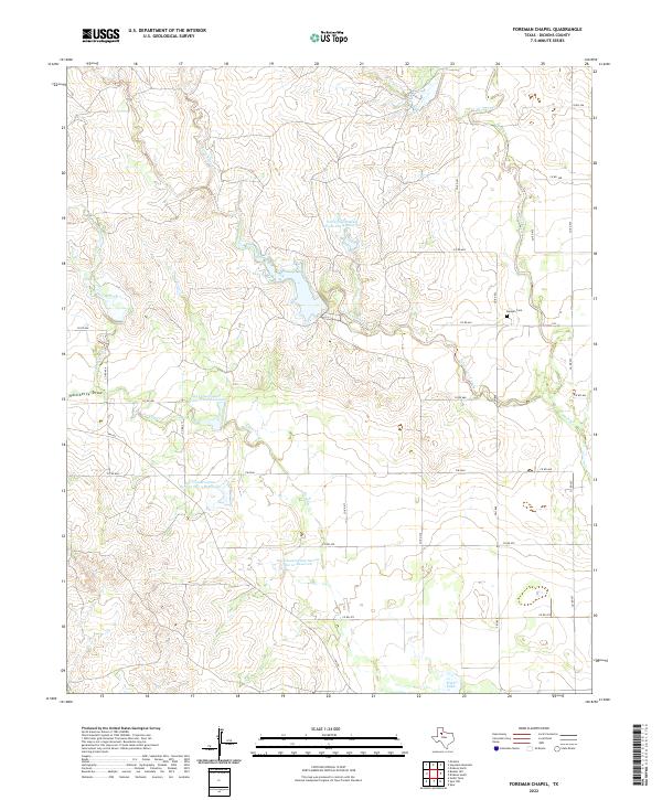
1968 Foreman Chapel
Dickens County, TX
1968 Pitchfork Ranch
Dickens County, TX
1968 Rustler Camp
Dickens County, TX
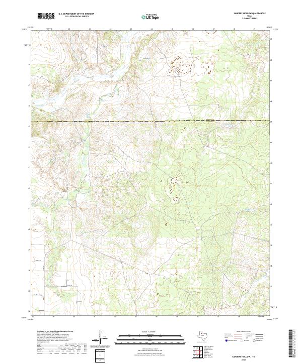
1968 Sanders Hollow
Dickens County, TX
2010 Afton
Dickens County, TX
2010 Croton Camp
Dickens County, TX
2010 Dickens North
Dickens County, TX
2010 Dickens South
Dickens County, TX
2010 Dumont
Dickens County, TX
2010 East Afton
Dickens County, TX
2010 East Afton NE
Dickens County, TX
2010 Foreman Chapel
Dickens County, TX
2010 Gilpin
Dickens County, TX
2010 Haystack Mountain
Dickens County, TX
2010 Pitchfork Ranch
Dickens County, TX
2010 Pursley House
Dickens County, TX
2010 Rustler Camp
Dickens County, TX
2010 Sanders Hollow
Dickens County, TX
2010 Spur NW
Dickens County, TX
2012 Afton
Dickens County, TX
2012 Croton Camp
Dickens County, TX
2012 Dickens North
Dickens County, TX
2012 Dickens South
Dickens County, TX
2012 Dumont
Dickens County, TX
2012 East Afton
Dickens County, TX
2012 East Afton NE
Dickens County, TX
2012 Foreman Chapel
Dickens County, TX
2012 Gilpin
Dickens County, TX
2012 Haystack Mountain
Dickens County, TX
2012 Pitchfork Ranch
Dickens County, TX
2012 Pursley House
Dickens County, TX
2012 Rustler Camp
Dickens County, TX
2012 Sanders Hollow
Dickens County, TX
2012 Spur NW
Dickens County, TX
2016 Afton
Dickens County, TX
2016 Croton Camp
Dickens County, TX
2016 Dickens North
Dickens County, TX
2016 Dickens South
Dickens County, TX
2016 Dumont
Dickens County, TX
2016 East Afton
Dickens County, TX
2016 East Afton NE
Dickens County, TX
2016 Foreman Chapel
Dickens County, TX
2016 Gilpin
Dickens County, TX
2016 Haystack Mountain
Dickens County, TX
2016 Pitchfork Ranch
Dickens County, TX
2016 Pursley House
Dickens County, TX
2016 Rustler Camp
Dickens County, TX
2016 Sanders Hollow
Dickens County, TX
2016 Spur NW
Dickens County, TX
2019 Afton
Dickens County, TX
2019 Croton Camp
Dickens County, TX
2019 Dickens North
Dickens County, TX
2019 Dickens South
Dickens County, TX
2019 Dumont
Dickens County, TX
2019 East Afton
Dickens County, TX
2019 East Afton NE
Dickens County, TX
2019 Foreman Chapel
Dickens County, TX
2019 Gilpin
Dickens County, TX
2019 Haystack Mountain
Dickens County, TX
2019 Pitchfork Ranch
Dickens County, TX
2019 Pursley House
Dickens County, TX
2019 Rustler Camp
Dickens County, TX
2019 Sanders Hollow
Dickens County, TX
2019 Spur NW
Dickens County, TX
2022 Afton
Dickens County, TX
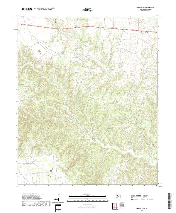
2022 Croton Camp
Dickens County, TX
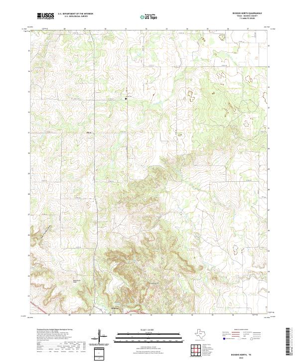
2022 Dickens North
Dickens County, TX
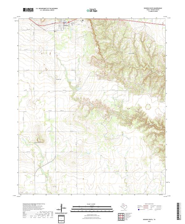
2022 Dickens South
Dickens County, TX
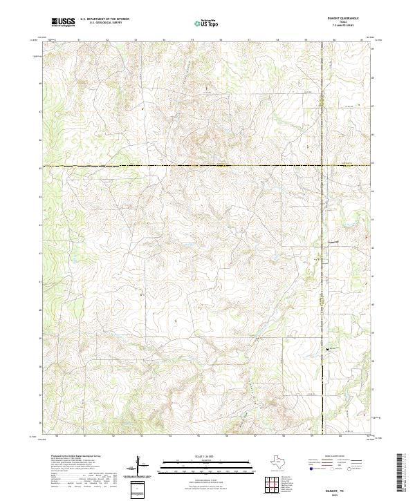
2022 Dumont
Dickens County, TX
2022 East Afton
Dickens County, TX
2022 East Afton NE
Dickens County, TX
2022 Foreman Chapel
Dickens County, TX
2022 Gilpin
Dickens County, TX
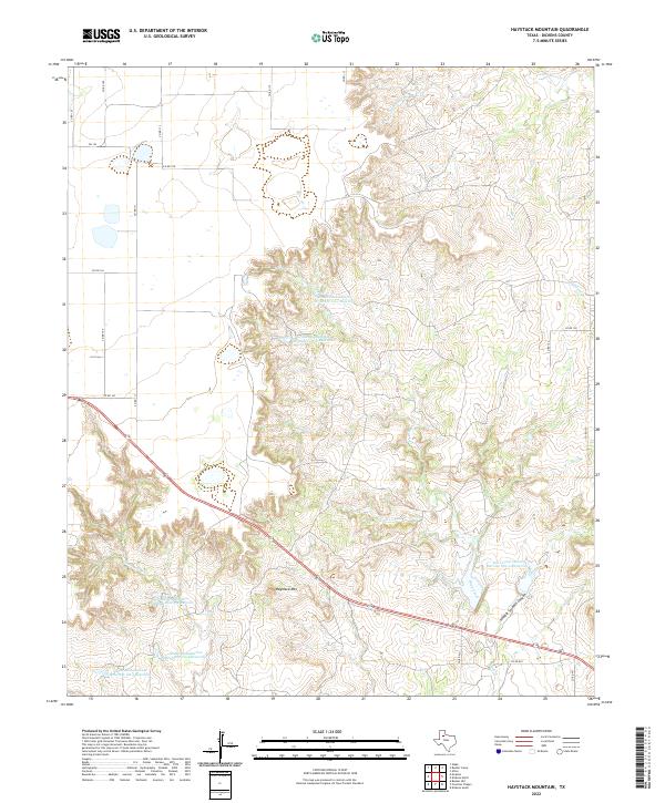
2022 Haystack Mountain
Dickens County, TX
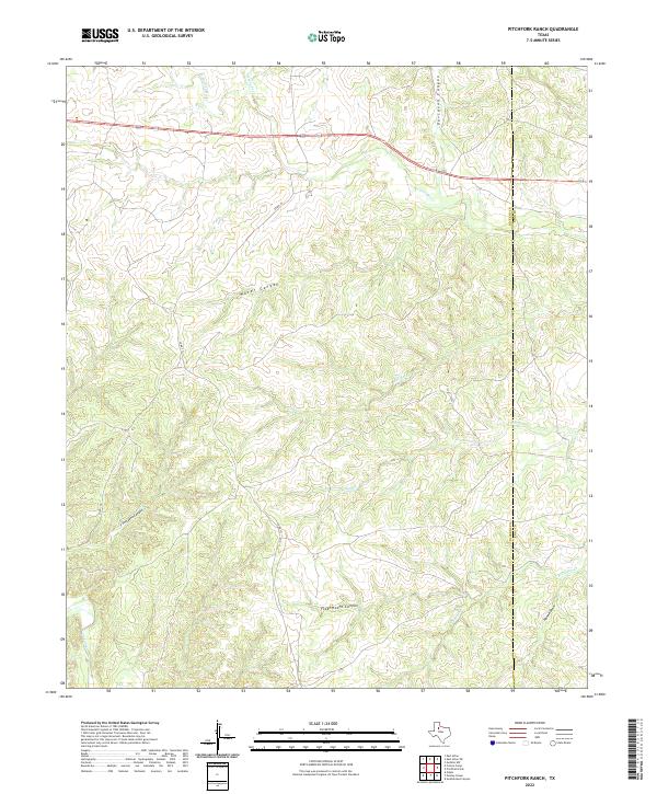
2022 Pitchfork Ranch
Dickens County, TX
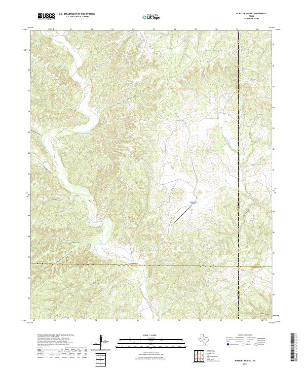
2022 Pursley House
Dickens County, TX
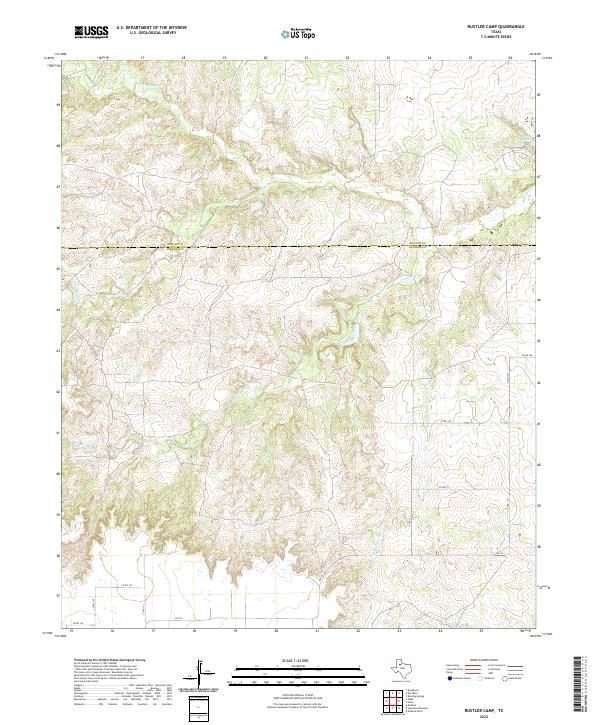
2022 Rustler Camp
Dickens County, TX
2022 Sanders Hollow
Dickens County, TX
2022 Spur NW
Dickens County, TX