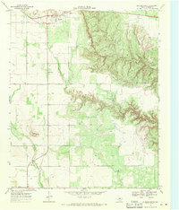
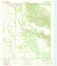
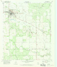
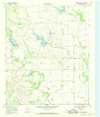
1967 Map of Dickens South
USGS Topo · Published 1970About this map
Dickens serves as the focal point of this West Texas survey, where the relatively flat plains of the Caprock begin their dramatic descent into the Croton Breaks. This transition is marked by a complex network of erosional features carved by Croton Creek and Wilson Draw, creating a stark contrast to the agricultural and ranching landscape to the west. Evidence of mid-century community life is visible near the town site, including an Athletic Field and a Drive-in Theater situated along the highway leading south.
Find a feature on this map
14 named features on this map. Tap any name to fly to it.
Don’t see what you’re looking for? This feature index may not catch every label — zoom into the map to look around manually.
Map Details
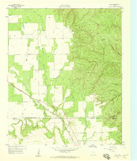
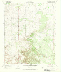
Editions of this 1967 Dickens South Map
2 editions found
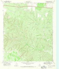
Other maps of this area

1954 · Lubbock
USGS Topo · 1:250,000
1959 · Gilpin
USGS Topo · 1:24,000
1967 · Dickens North
USGS Topo · 1:24,000
1967 · Spur
USGS Topo · 1:24,000
1967 · Haystack Mountain
USGS Topo · 1:24,000
1967 · Spur NW
USGS Topo · 1:24,000
1968 · East Afton
USGS Topo · 1:24,000
1968 · Foreman Chapel
USGS Topo · 1:24,000
1968 · Croton Camp
USGS Topo · 1:24,000
1985 · Dickens
USGS Topo · 1:100,000