
1968 Map of Croton Camp
USGS Topo · Published 1971About this map
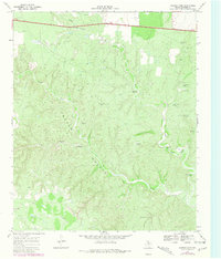
The Croton Breaks dominate this landscape, where the deeply eroded drainage systems of Croton Creek and Little Croton Creek have carved a complex topography. This mid-century survey by the Texas Water Development Board and USGS illustrates a remote ranching environment defined by its essential water infrastructure. Scattered across the draws and ridges are numerous named water sources, including the Jake Rains Windmill, Floyd Smith Windmill, and the North Pitchfork Corner Windmill, each serving as a vital landmark in this arid terrain.
Find a feature on this map
17 named features on this map. Tap any name to fly to it.
Don’t see what you’re looking for? This feature index may not catch every label — zoom into the map to look around manually.
Map Details
Editions of this 1968 Croton Camp Map
2 editions found
Other maps of this area

1954 · Lubbock
USGS Topo · 1:250,000

1958 · Pursley House
USGS Topo · 1:24,000

1959 · Gilpin
USGS Topo · 1:24,000

1967 · Dickens North
USGS Topo · 1:24,000

1967 · Dickens South
USGS Topo · 1:24,000

1967 · Spur
USGS Topo · 1:24,000

1968 · East Afton
USGS Topo · 1:24,000

1968 · Pitchfork Ranch
USGS Topo · 1:24,000

1968 · East Afton NE
USGS Topo · 1:24,000

1985 · Dickens
USGS Topo · 1:100,000