Old Maps of Brundage, Texas for Hiking & Exploration
Hike through history with 12 historic maps of Brundage. Explore old trails, ghost towns, and forgotten backroads — perfect for outdoor adventurers and local explorers.
- Rediscover forgotten places: Map out old mining camps, roads, and footpaths that no longer exist on modern maps.
- Layer with modern tools: Combine with LiDAR or satellite views to plan hikes through historical terrain.
- Made for exploration: Popular among hikers, overlanders, and local history lovers.
Use these maps to find adventure and explore the hidden past of Brundage.
Brundage, TX maps
(12)- 1939 Map of Big Wells, 1958 Print
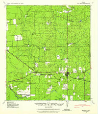 1939 Big Wells1958 Print · USGSDimmit and Zavala counties are captured here just before World War II, showing a landscape defined by the railroad and large cattle ranches. Researchers can trace historic family holdings like the Snyder Ranch and transport hubs including Brundage and J. N. Siding.
 - 1953 Map of Crystal City
 1953 Crystal City1953 Print · USGSSouth Texas in the early fifties was a landscape of expanding oil fields and vital rail connections. Genealogists and researchers can trace family lands along the Nueces River or locate heritage sites in Asherton, Big Wells, and Batesville.
 - 1955 Map of Crystal City, 1976 Print
 1955 Crystal City1976 Print · USGSSouth Texas ranching and oil country come into focus in the mid-fifties as the rail lines and rivers connect growing hubs. Researchers can trace the development of energy fields like Washburn Oil Field or locate historic settlements from Asherton to Three Rivers.
 - 1961 Map of Crystal City
 1961 Crystal City1961 Print · USGSSouth Texas in the early sixties reveals a landscape of massive cattle ranches and emerging oil fields. Genealogists and historians can trace the Missouri Pacific rail lines through Crystal City, or locate water features like Espantosa Lake and Boynton Reservoir.
 - 1968 Map of Crystal City
 1968 Crystal City1968 Print · USGSSouth Texas in the late sixties reveals a landscape shaped by ranching roots and the vital waters of the Nueces River. Researchers can trace the rail-driven growth of Crystal City or locate landmarks like Pilot Knob and Espantosa Lake.
 - 1972 Map of Brundage, 1975 Print
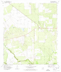 1972 Brundage1975 Print · USGSDimmit County during the 1970s was a hub of oil extraction and rail activity centered around the small community of Brundage. Researchers can trace petroleum history through the Indian Mound Oil Field or follow the path of the Nueces River and Bermuda Lake.
 - 1985 Map of Crystal City
 1985 Crystal City1985 Print · USGSThe Texas Winter Garden region comes into focus during the mid-1980s, detailing a landscape of irrigation, energy, and rail. Genealogists and researchers can trace lineage through rural centers like Big Wells, Winter Haven, and Loma Vista or locate early industrial sites such as the Big Wells Oil Field.2 unique versions available
 - 2010 Map of Brundage, 2010 Print
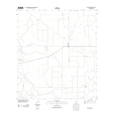
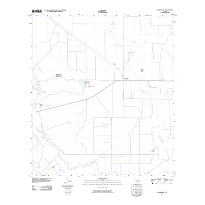 2010 Brundage2010 Print · USGSCovers Brundage, including Dimmit County, United States, and other nearby areas
 - 2013 Map of Brundage, 2013 Print
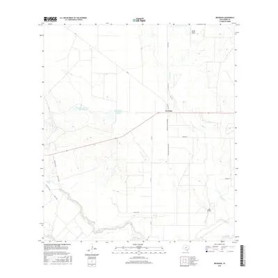
 2013 Brundage2013 Print · USGSCovers Brundage, including Dimmit County, United States, and other nearby areas
 - 2016 Map of Brundage, 2016 Print
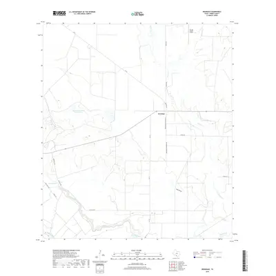
 2016 Brundage2016 Print · USGSCovers Brundage, including Dimmit County, United States, and other nearby areas
 - 2019 Map of Brundage, 2019 Print
 2019 Brundage2019 Print · USGSCovers Brundage, including Dimmit County, United States, and other nearby areas
 - 2022 Map of Brundage, 2022 Print
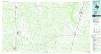
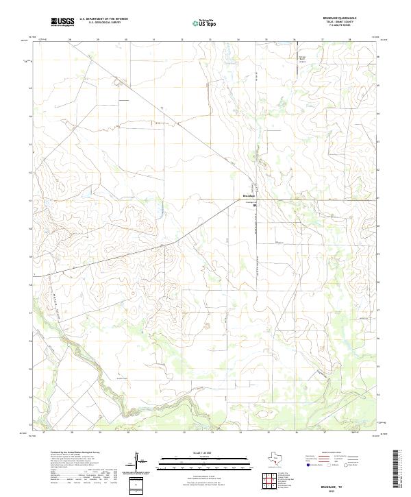 2022 Brundage2022 Print · USGSBrundage and the riverbanks of the Nueces are shown here in the early twenty-first century as the landscape remains tied to its ranching roots. Trace family sites near Brundage Cem or follow the waters of Tortuga Cr and Soldier Slough.
End of results
Showing maps 1-12 of 12
Top cities near Brundage
- Crystal City historical maps
- Carrizo Springs historical maps
- Asherton historical maps
- Big Wells historical maps
Frequently asked questions
- What are the different types of historical maps available for Brundage?
- What is the oldest map of Brundage?
- Where can I purchase historical maps of Brundage for my home or office?
- Where can I download high-res historical maps of Brundage?
- Are there historical topographic maps available for Brundage?
- Is there historical aerial imagery available for Brundage?
- Where are historical maps of Brundage sourced from?