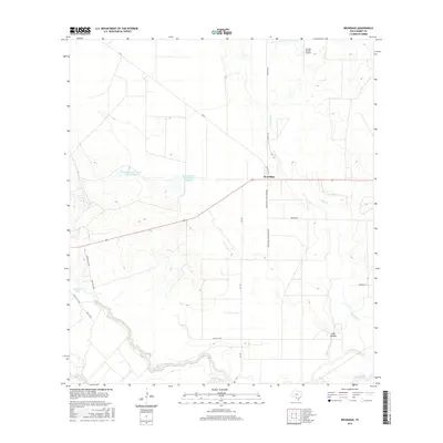
2016 Map of Brundage
USGS Topo · Published 2016About this map
Brundage stands at the intersection of FM 65 and Brundage Steak House Rd, serving as the primary human settlement in this stretch of Dimmit County. The landscape is defined by the winding course of the Nueces River in the south, where Soldier Slough and Bermuda Lake flank its banks, indicating the shifting hydrologic history of the river valley. To the north, the geography is marked by ranching infrastructure and water management, evidenced by Reynolds and Wilson Lake Number 1 and Reynolds and Wilson Lake Number 2. The presence of the Tortuga Ranch Airport near Tortuga Cr highlights the reliance on private aviation for navigating this expansive ranching country. The terrain remains largely open and rural, with intermittent drainage features like Stag Hollow cutting through the brushland, connected by a network of county roads including Hasten Co Rd and Pattillo Rd.
Find a feature on this map
20 named features on this map. Tap any name to fly to it.
Don’t see what you’re looking for? This feature index may not catch every label — zoom into the map to look around manually.
Map Details
Editions of this 2016 Brundage Map
This is the sole edition of this map. No revisions or reprints were ever made.
Other maps of this area

1925 · San Roque Lake 1-a
USGS Topo · 1:48,000

1929 · Cotulla
USGS Topo · 1:125,000

1932 · Valley Wells
USGS Topo · 1:62,500

1939 · Carrizo Springs
USGS Topo · 1:62,500

1939 · Big Wells
USGS Topo · 1:62,500

1940 · Asherton
USGS Topo · 1:62,500

1940 · Catarina
USGS Topo · 1:62,500

1953 · Crystal City
USGS Topo · 1:250,000

1955 · Crystal City
USGS Topo · 1:250,000

1961 · Crystal City
USGS Topo · 1:250,000