Old Maps of Clarendon, Texas for Genealogy
Trace your family roots with 15 historic maps of Clarendon. These high-res maps reveal old neighborhoods, homesites, landmarks, and streets — helping you uncover where your ancestors lived and how the area evolved over time.
- Explore historic neighborhoods: Identify where your relatives may have lived in the 1800s or 1900s.
- Compare maps over time: Trace the changes in streets, buildings, and landmarks for multi-generational research.
- Perfect for genealogy & ancestry research: Used by family historians and researchers to map out lineage and migration.
These maps are an incredible resource for exploring your personal connection to Clarendon's past.
Clarendon, TX maps
(15)- 1954 Map of Plainview, 1966 Print
 1954 Plainview1966 Print · USGSThe Texas Panhandle and the rugged Caprock Escarpment appear in detail as the region's agricultural and rail networks reached their mid-century peak. Trace family roots and old land patterns through the canyons and plains near Plainview, Palo Duro State Park, and Childress.3 unique versions available
 - 1958 Map of Plainview
 1958 Plainview1958 Print · USGSThe High Plains and Caprock Escarpment meet in the late fifties, showcasing the ranching and rail networks of the Texas Panhandle. Trace family roots and vanished stops along the Panhandle and Santa Fe railroad through Plainview, Silverton, and Matador.
 - 1962 Map of Lelia Lake, 1963 Print
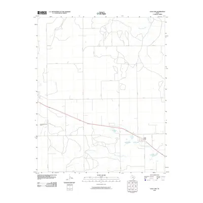
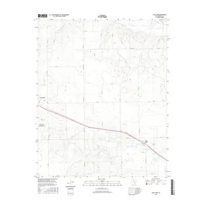
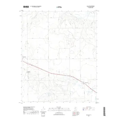
 1962 Lelia Lake1963 Print · USGSDonley County ranching and rail life are on full display in the early sixties as the Texas Panhandle transitioned into the modern era. Trace the path of the FT Worth and Denver railroad through Lelia Lake or locate early water features like Johnson Lake.2 unique versions available
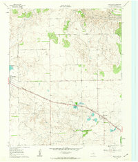
 - 1963 Map of Clarendon, 1966 Print
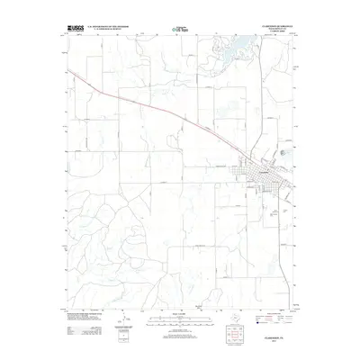
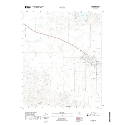
 1963 Clarendon1966 Print · USGSDonley County centers on the rail-and-road hub of Clarendon in the early sixties as the regional economy transitioned between ranching and civic expansion. Researchers can find family roots at St Marys Cem and Citizens Cem or trace the path of the Fort Worth and Denver line.2 unique versions available
 - 1986 Map of Wellington
 1986 Wellington1986 Print · USGSThe Texas Panhandle in the 1980s shows a landscape of cattle ranching and rail-dependent towns along the Burlington Northern. Trace family history and local industry through locations like the Citizens Cem, Greenbelt Reservoir, and Mc Knight.2 unique versions available
 - 2010 Map of Clarendon, 2010 Print
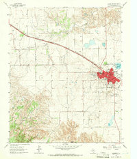
 2010 Clarendon2010 Print · USGSCovers Clarendon, including Donley County, United States, and other nearby areas
 - 2010 Map of Lelia Lake, 2010 Print
 2010 Lelia Lake2010 Print · USGSCovers Clarendon, including Lelia Lake, Donley County, and other nearby areas
 - 2012 Map of Clarendon, 2012 Print
 2012 Clarendon2012 Print · USGSCovers Clarendon, including Donley County, United States, and other nearby areas
 - 2012 Map of Lelia Lake, 2012 Print
 2012 Lelia Lake2012 Print · USGSCovers Clarendon, including Lelia Lake, Donley County, and other nearby areas
 - 2016 Map of Clarendon, 2016 Print
 2016 Clarendon2016 Print · USGSCovers Clarendon, including Donley County, United States, and other nearby areas
 - 2016 Map of Lelia Lake, 2016 Print
 2016 Lelia Lake2016 Print · USGSCovers Clarendon, including Lelia Lake, Donley County, and other nearby areas
 - 2019 Map of Clarendon, 2019 Print
 2019 Clarendon2019 Print · USGSCovers Clarendon, including Donley County, United States, and other nearby areas
 - 2019 Map of Lelia Lake, 2019 Print
 2019 Lelia Lake2019 Print · USGSCovers Clarendon, including Lelia Lake, Donley County, and other nearby areas
 - 2022 Map of Lelia Lake, 2022 Print
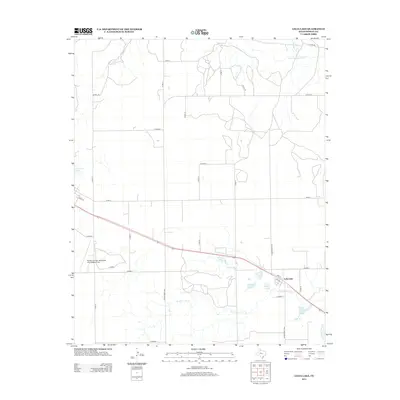
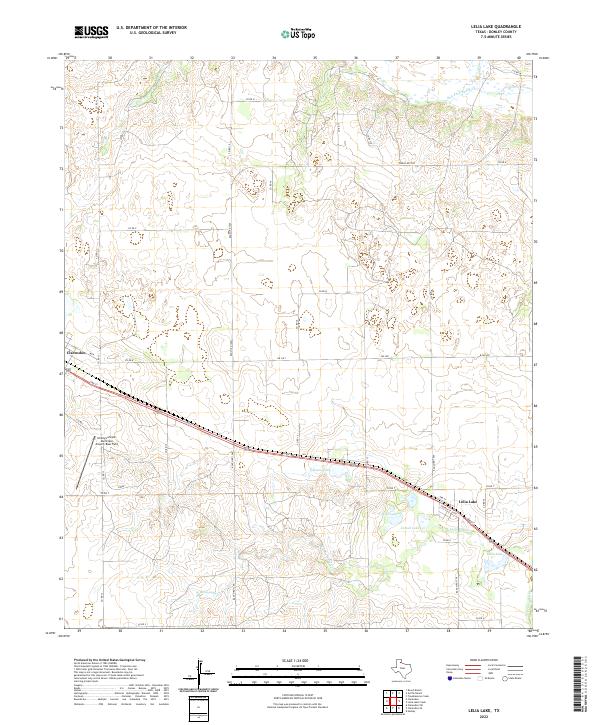 2022 Lelia Lake2022 Print · USGSDonley County ranching country and the community of Lelia Lake are documented here in the early 2020s. Researchers can trace the local water network from the Salt Fork Red River down to Taylor Lakes and Cattail Lake.
 - 2022 Map of Clarendon, 2022 Print
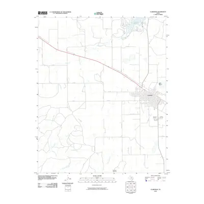
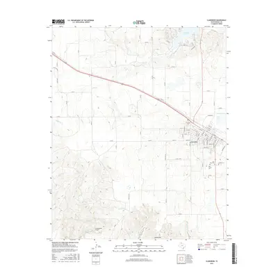
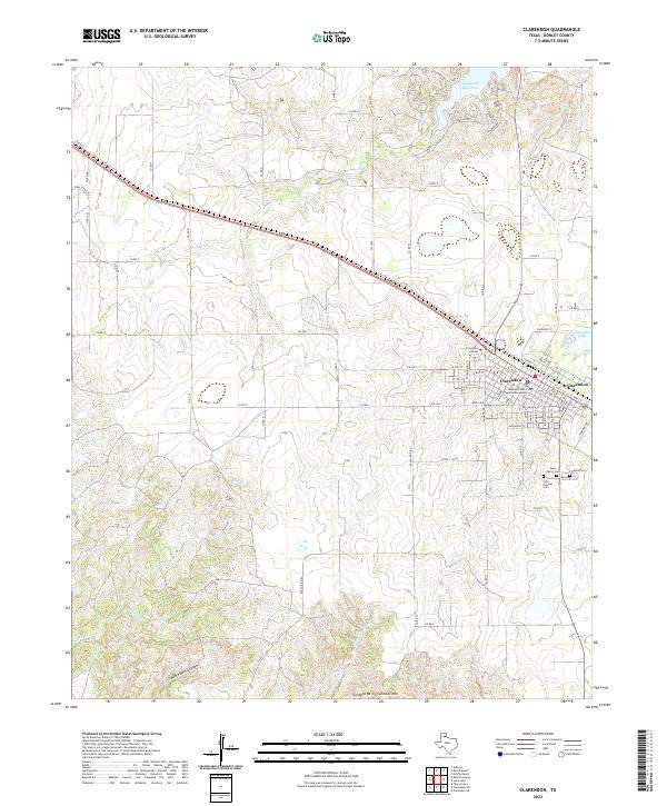 2022 Clarendon2022 Print · USGSClarendon and the surrounding Donley County ranch lands are detailed here in this contemporary record of the Texas Panhandle. Researchers can locate family sites near Odd Fellows Cem or trace the development of Clarendon College and Greenbelt Reservoir.
End of results
Showing maps 1-15 of 15
Top cities near Clarendon
Frequently asked questions
- What are the different types of historical maps available for Clarendon?
- What is the oldest map of Clarendon?
- Where can I purchase historical maps of Clarendon for my home or office?
- Where can I download high-res historical maps of Clarendon?
- Are there historical topographic maps available for Clarendon?
- Is there historical aerial imagery available for Clarendon?
- Where are historical maps of Clarendon sourced from?