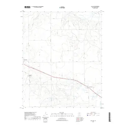
2019 Map of Lelia Lake
USGS Topo · Published 2019About this map
Lelia Lake sits at the heart of this Donley County landscape, where the high plains of the Texas Panhandle are carved by the headwaters of the Salt Fork Red River. The settlement pattern follows a grid of rural county roads, punctuated by the central corridor of 2nd St, which connects the community of Lelia Lake to the outskirts of Clarendon. This transport network serves a ranching and agricultural economy defined by scattered water sources and seasonal drainages.
Find a feature on this map
40 named features on this map. Tap any name to fly to it.
Don’t see what you’re looking for? This feature index may not catch every label — zoom into the map to look around manually.
Map Details
Editions of this 2019 Lelia Lake Map
This is the sole edition of this map. No revisions or reprints were ever made.
Other maps of this area

1954 · Amarillo
USGS Topo · 1:250,000

1954 · Plainview
USGS Topo · 1:250,000

1958 · Amarillo
USGS Topo · 1:250,000

1958 · Plainview
USGS Topo · 1:250,000

1959 · Lelia Lake Creek
USGS Topo · 1:24,000

1959 · Troublesome Creek
USGS Topo · 1:24,000

1962 · Lelia Lake
USGS Topo · 1:24,000

1962 · Roach Ranch
USGS Topo · 1:24,000

1962 · Griffin Ranch
USGS Topo · 1:24,000

1963 · Hedley
USGS Topo · 1:24,000