Old Maps of Sejita, Texas for Genealogy
Trace your family roots with 9 historic maps of Sejita. These high-res maps reveal old neighborhoods, homesites, landmarks, and streets — helping you uncover where your ancestors lived and how the area evolved over time.
- Explore historic neighborhoods: Identify where your relatives may have lived in the 1800s or 1900s.
- Compare maps over time: Trace the changes in streets, buildings, and landmarks for multi-generational research.
- Perfect for genealogy & ancestry research: Used by family historians and researchers to map out lineage and migration.
These maps are an incredible resource for exploring your personal connection to Sejita's past.
Sejita, TX maps
(9)- 1921 Map of Falfurrias
 1921 Falfurrias1921 Print · USGSBrooks and Jim Wells counties were defined by a sprawling ranching and citrus economy in the years following the Great War. Genealogists can trace family holdings and early infrastructure like Coyote Mills, the Concepcion Ruins, and the Seymour Citrus Farm.
 - 1956 Map of Laredo, 1960 Print
 1956 Laredo1960 Print · USGSSouth Texas in the mid-fifties reveals a landscape shaped by border commerce, military aviation, and a booming oil industry. Trace the historic Texas and Mexican RR line through Hebbronville or locate the sprawling Mirando City Oil Field and Laredo AFB.3 unique versions available
 - 1969 Map of Ramirez, 1971 Print
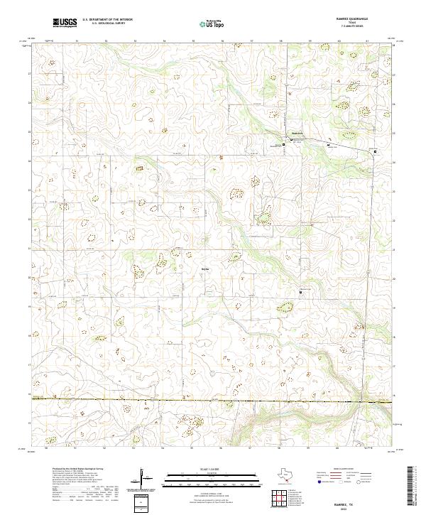
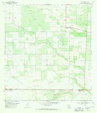 1969 Ramirez1971 Print · USGSDuval County ranching and energy production are in focus during the late sixties. Trace family history and land use through named landmarks like Ramirez, Ramos Cem, and the numerous water sources such as Bobbies Windmill.
 - 1985 Map of Falfurrias
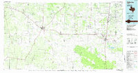 1985 Falfurrias1985 Print · USGSThe ranchlands of South Texas were an active hub for rail and petroleum at the height of the mid-eighties. Researchers can trace the path of the Texas Mexican RR through Hebbronville or locate the Thanksgiving Oil Field and Sejita crossroads.2 unique versions available
 - 2010 Map of Ramirez, 2010 Print
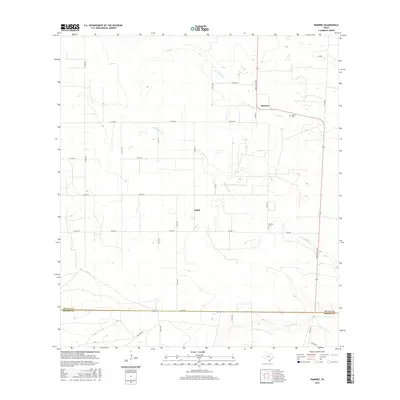
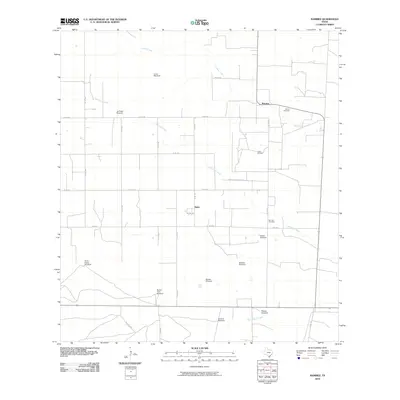 2010 Ramirez2010 Print · USGSCovers Sejita, including Ramirez, Duval County, and other nearby areas
 - 2013 Map of Ramirez, 2013 Print
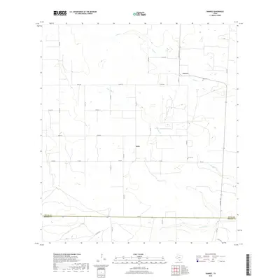
 2013 Ramirez2013 Print · USGSCovers Sejita, including Ramirez, Duval County, and other nearby areas
 - 2016 Map of Ramirez, 2016 Print
 2016 Ramirez2016 Print · USGSCovers Sejita, including Ramirez, Duval County, and other nearby areas
 - 2019 Map of Ramirez, 2019 Print
 2019 Ramirez2019 Print · USGSCovers Sejita, including Ramirez, Duval County, and other nearby areas
 - 2022 Map of Ramirez, 2022 Print
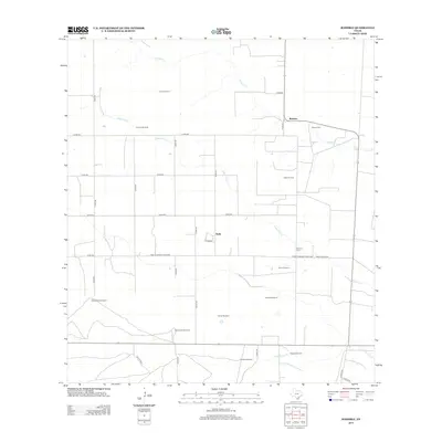
 2022 Ramirez2022 Print · USGSSouth Texas ranching country near the Duval and Brooks county line is documented here in the early twenty-first century. Genealogists can locate family burial sites like Ramirez Cem and Ramos Cem near the historic settlements of Ramirez and Sejita.
End of results
Showing maps 1-9 of 9
Frequently asked questions
- What are the different types of historical maps available for Sejita?
- What is the oldest map of Sejita?
- Where can I purchase historical maps of Sejita for my home or office?
- Where can I download high-res historical maps of Sejita?
- Are there historical topographic maps available for Sejita?
- Is there historical aerial imagery available for Sejita?
- Where are historical maps of Sejita sourced from?