2000s (21st Century) Maps of Anthony, Texas
Explore 15 historic maps of Anthony from the 2000s (21st Century). These maps offer a rare glimpse into what life looked like during the 2000s — showing old roads, neighborhoods, homes, and landmarks that have changed or disappeared over time.
Whether you're researching your family's past, planning a metal detecting trip, or studying how Anthony's landscape evolved across the 2000s, these high-resolution maps are a powerful tool for exploring the history of this region.
- Focus on a specific era: All maps on this page are from the 2000s, giving you a focused view of this time period.
- See what’s changed: Compare century-old streets, trails, and buildings to today's modern landscape using overlays and satellite layers.
- Research with precision: Use these maps for genealogy, historical research, land use analysis, or educational projects.
- View, download, or print: Maps are fully viewable online in high resolution, and can be downloaded or printed for your own records.
Start exploring Anthony's history through authentic maps from the 2000s. This is your window into the past.
Anthony, TX maps
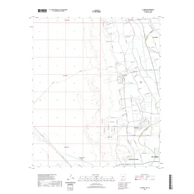
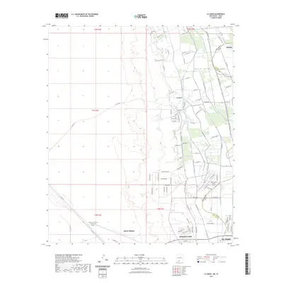
(15)- 2010 Map of La Union, 2010 Print
 2010 La Union2010 Print · USGSCovers Anthony, including El Paso, Santa Teresa, and other nearby areas
 - 2010 Map of Canutillo, 2010 Print
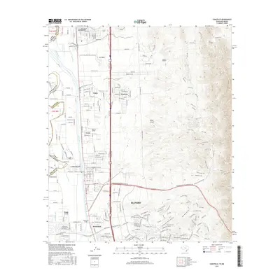
 2010 Canutillo2010 Print · USGSCovers Anthony, including El Paso, Canutillo, and other nearby areas
 - 2010 Map of Anthony, 2010 Print
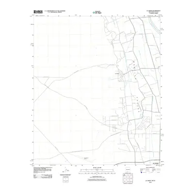
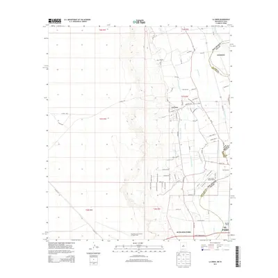
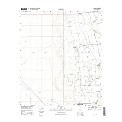
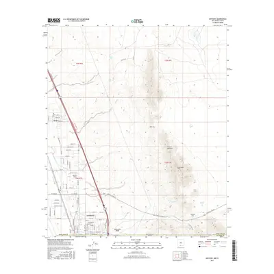
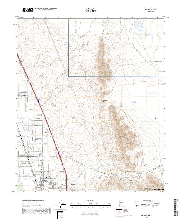
 2010 Anthony2010 Print · USGSCovers Anthony, including El Paso, Anthony, NM, and other nearby areas
 - 2012 Map of Canutillo, 2012 Print
 2012 Canutillo2012 Print · USGSCovers Anthony, including El Paso, Canutillo, and other nearby areas
 - 2013 Map of La Union, 2013 Print
 2013 La Union2013 Print · USGSCovers Anthony, including El Paso, Santa Teresa, and other nearby areas
 - 2013 Map of Anthony, 2013 Print
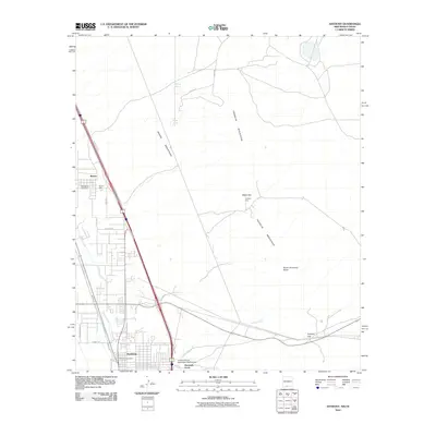
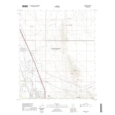
 2013 Anthony2013 Print · USGSCovers Anthony, including El Paso, Anthony, NM, and other nearby areas
 - 2016 Map of Canutillo, 2016 Print
 2016 Canutillo2016 Print · USGSCovers Anthony, including El Paso, Canutillo, and other nearby areas
 - 2017 Map of La Union, 2017 Print
 2017 La Union2017 Print · USGSCovers Anthony, including El Paso, Santa Teresa, and other nearby areas
 - 2017 Map of Anthony, 2017 Print
 2017 Anthony2017 Print · USGSCovers Anthony, including El Paso, Anthony, NM, and other nearby areas
 - 2019 Map of Canutillo, 2019 Print
 2019 Canutillo2019 Print · USGSCovers Anthony, including El Paso, Canutillo, and other nearby areas
 - 2020 Map of La Union, 2020 Print
 2020 La Union2020 Print · USGSCovers Anthony, including El Paso, Santa Teresa, and other nearby areas
 - 2020 Map of Anthony, 2020 Print
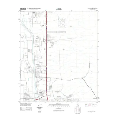
 2020 Anthony2020 Print · USGSCovers Anthony, including El Paso, Anthony, NM, and other nearby areas
 - 2022 Map of Canutillo, 2022 Print
 2022 Canutillo2022 Print · USGSThe Texas-New Mexico borderlands south of Anthony come into focus here during a period of modern expansion along the Rio Grande. Genealogists and hikers can trace local landmarks like the Canutillo Cem or explore the trail network through Vinton Canyon.
 - 2023 Map of La Union, 2023 Print
 2023 La Union2023 Print · USGSThe Rio Grande valley along the New Mexico and Texas border comes into focus in this contemporary study of agricultural and desert landscapes. Researchers can trace irrigation networks like the Talbot Lateral and locate local landmarks such as La Union Cem and the Dona Ana County International Jetport.
 - 2023 Map of Anthony, 2023 Print
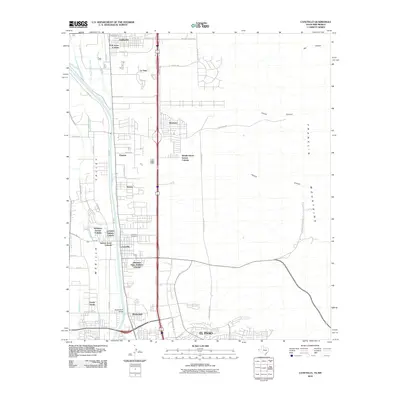
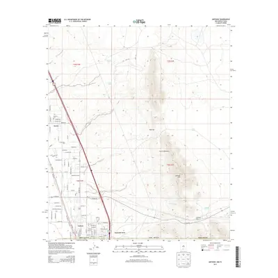
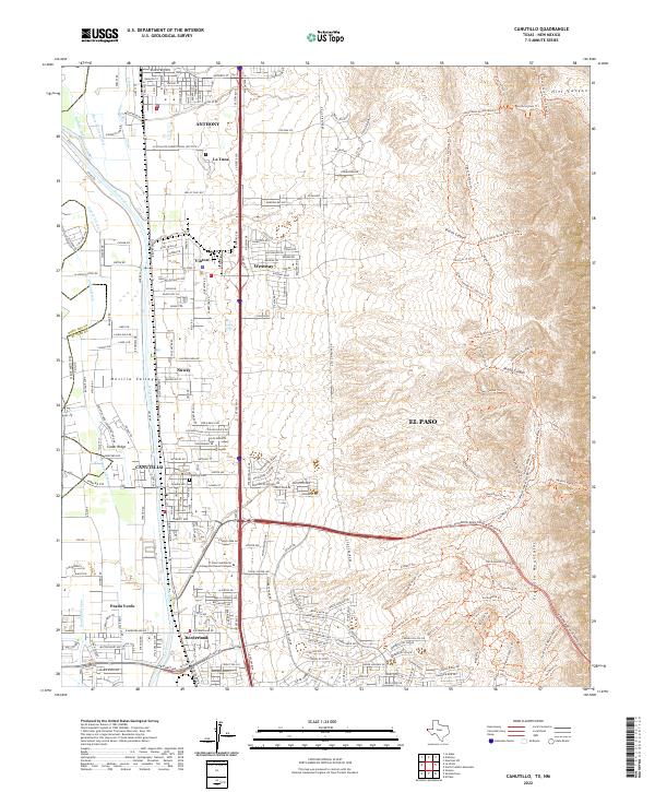
 2023 Anthony2023 Print · USGSThe Mesilla Valley and Franklin Mountains converge in this recent study of the New Mexico-Texas borderlands. Genealogists and historians can trace numerous local burial sites like Old Berino Cem and Anthony Catholic Cem alongside desert landmarks like North Anthonys Nose.
End of results
Showing maps 1-15 of 15
Top cities near Anthony
- El Paso historical maps
- Sunland Park historical maps
- Chaparral historical maps
- Anthony, NM historical maps
- Anthony historical maps
- Canutillo historical maps
See more
Top neighborhoods of Anthony
Frequently asked questions
- What are the different types of historical maps available for Anthony?
- What is the oldest map of Anthony?
- Where can I purchase historical maps of Anthony for my home or office?
- Where can I download high-res historical maps of Anthony?
- Are there historical topographic maps available for Anthony?
- Is there historical aerial imagery available for Anthony?
- Where are historical maps of Anthony sourced from?