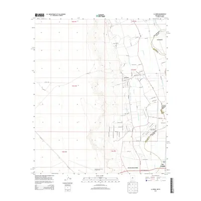
2013 Map of La Union
USGS Topo · Published 2013About this map
The Rio Grande corridor north of El Paso serves as the primary artery for this borderland region, where the state line between New Mexico and Texas cuts across a landscape defined by an intricate network of irrigation channels. Agricultural heritage is evident in the naming of local landmarks such as Chile Patch Ln and the numerous water features like the Talbot Lateral, Central Lateral, and West Drain that support the valley floor. La Union sits at the heart of this grid, flanked by the elevated desert to the west and the riparian valley to the east.
Find a feature on this map
79 named features on this map. Tap any name to fly to it.
Don’t see what you’re looking for? This feature index may not catch every label — zoom into the map to look around manually.
Map Details
Editions of this 2013 La Union Map
This is the sole edition of this map. No revisions or reprints were ever made.
Other maps of this area

1891 · Las Cruces
USGS Topo · 1:125,000

1893 · Las Cruces
USGS Topo · 1:125,000

1917 · Canutillo
USGS Topo · 1:62,500

1917 · Noria
USGS Topo · 1:62,500

1918 · Noria
USGS Topo · 1:62,500

1919 · Canutillo
USGS Topo · 1:62,500

1943 · La Mesa
USGS Topo · 1:62,500

1943 · Afton
USGS Topo · 1:62,500

1953 · El Paso
USGS Topo · 1:250,000
1955 · Smeltertown
USGS Topo · 1:24,000