Old Maps of Butterfield City Number 3 Colonia, Texas for Academic Research
Study the evolution of Butterfield City Number 3 Colonia with 18 high-resolution historic maps. Whether you're teaching, researching, or modeling changes in land use, these maps provide essential visual documentation of urban, environmental, and geographic change.
- Analyze long-term change: Track patterns in development, transportation, and natural features.
- Ideal for environmental or urban studies: Support academic projects with primary historical map data.
- Use in the classroom or lab: Educators and researchers rely on these maps to bring historical context to life.
These maps are a powerful tool for teaching, research, and visualizing how Butterfield City Number 3 Colonia has changed over the decades.
Butterfield City Number 3 Colonia, TX maps
(18)- 1896 Map of El Paso
 1896 El Paso1896 Print · USGSThe El Paso borderlands were a nexus of rail and river commerce in the 1890s, where international boundaries met the western frontier. Researchers can trace the early layout of El Paso, the military presence at Fort Bliss, and historic valley settlements like Ysleta and San Elizario.2 unique versions available
 - 1908 Map of El Paso
 1908 El Paso1908 Print · USGSEl Paso and the lower Rio Grande valley are seen here in the first decade of the century as the railroad and military presence transformed the borderlands. Genealogists can trace family footprints in historic river towns like San Elizario, Ysleta, and Socorro, or find early ranch sites like Newman's Ranch.2 unique versions available
 - 1939 Map of Heuco Tanks, 1961 Print
 1939 Heuco Tanks1961 Print · USGSEl Paso County ranching and transit routes are documented here just before the Second World War. Trace the historic Old Butterfield Trail past Escontrias Ranch or locate family landmarks like Deep Well Ranch and Helms West Well.
 - 1940 Map of Heuco Tanks
 1940 Heuco Tanks1940 Print · USGSEl Paso County ranching and transit are captured at the end of the 1930s as the desert landscape evolved. Genealogists and historians can trace the Old Butterfield Trail and locate family outposts like Escontrias Ranch and Rockhouse.
 - 1944 Map of Heuco Tanks, 1949 Print
 1944 Heuco Tanks1949 Print · USGSEl Paso County at the dawn of the 1940s shows a high-desert ranching landscape shaped by water and heritage. Genealogists and historians can trace historic family holdings like Escontrias Ranch and the path of the storied Old Butterfield Trail.
 - 1948 Map of Helms West Well
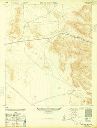 1948 Helms West Well1948 Print · USGSEl Paso County at the close of the 1940s reveals a desert landscape defined by essential water sources and emerging energy corridors. Researchers can trace the El Paso Natural Gas Company Pipe Line Road as it passes near Helms West Well and the rugged Hueco Mountains.
 - 1953 Map of El Paso
 1953 El Paso1953 Print · USGSEl Paso and the border region are shown here in the early fifties, documenting a landscape of shared river life and rising military presence. Genealogists and historians can trace rail-tied communities like Smeltertown, San Elizario, and the grounds of Fort Bliss.
 - 1955 Map of Helms West Well, 1959 Print
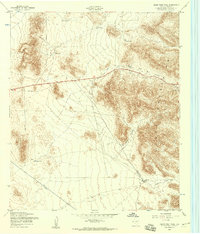 1955 Helms West Well1959 Print · USGSEl Paso County ranching and transit infrastructure are captured here in the mid-1950s, highlighting a landscape defined by water and wind. Trace the locations of Helms West Well, the Landing Strip, and remote water catchments like Dugout Tank.
 - 1959 Map of El Paso, 1968 Print
 1959 El Paso1968 Print · USGSEl Paso and the international borderlands come alive in this mid-century survey of the Chihuahuan Desert. Genealogists and historians can trace rail-side settlements like Columbus and Fabens, locate the sprawling Fort Bliss, and explore the geologically unique Kilbourne Hole.2 unique versions available
 - 1964 Map of El Paso
 1964 El Paso1964 Print · USGSThe El Paso and Juarez borderlands are shown in detail during the mid-sixties, from the urban center to the remote volcanic craters of the West Potrillo Mountains. Trace the rail-and-river network through Asarco Smeltertown, the Fort Bliss Military Reservation, and Columbus.
 - 1965 Map of El Paso
 1965 El Paso1965 Print · USGSEl Paso and the Mesilla Valley are shown in the mid-1960s as the region's military and transport infrastructure expanded. Researchers can trace the irrigation network along the Rio Grande, find old border stations like Columbus, and locate Hueco Tanks.
 - 1983 Map of El Paso
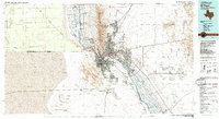 1983 El Paso1983 Print · USGSThe Chihuahuan Desert borderlands come into sharp focus in the early eighties as the binational metro area of El Paso and Ciudad Juarez expands. Genealogists and historians can trace rail lines like the Santa Fe, military grounds at Fort Bliss, and rural valley settlements including Canutillo and Zaragoza.2 unique versions available
 - 1995 Map of Helms West Well
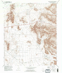 1995 Helms West Well1995 Print · USGSThe Hueco Mountains of West Texas are captured here during the mid-nineties, showing a landscape defined by desert water management and high-desert transit. Researchers can trace historic water catchments like Noble Tank and the landmark Helms West Well (Site).
 - 2010 Map of Helms West Well, 2010 Print
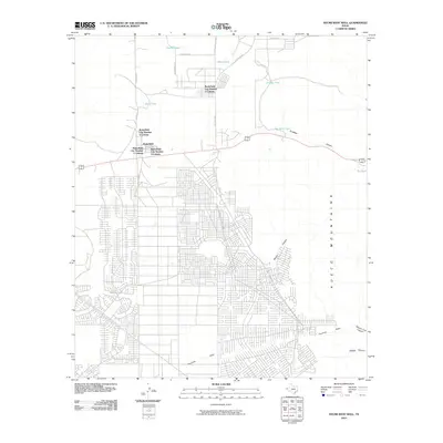 2010 Helms West Well2010 Print · USGSEl Paso County’s eastern fringes show significant residential expansion at the start of the 21st century as communities grew toward the mountain foothills. Researchers can trace the layout of Butterfield and explore family-named landmarks like Neals Tank or Martin Tank.
 - 2012 Map of Helms West Well, 2012 Print
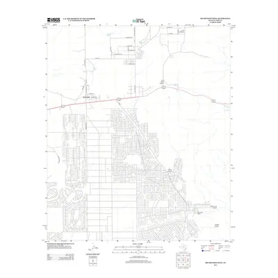 2012 Helms West Well2012 Print · USGSButterfield and the surrounding desert plateaus are captured here in a decade of significant residential growth. Genealogists and local historians can trace the expanding street networks near Butterfield and follow historic routes like the Overland Stage Rd toward Pow Wow Canyon.
 - 2016 Map of Helms West Well, 2016 Print
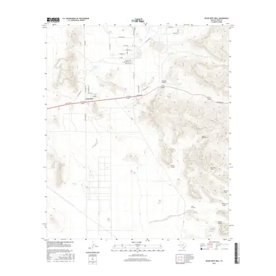 2016 Helms West Well2016 Print · USGSButterfield and the western slopes of the Hueco Mountains are captured here in the mid-2010s. Trace the alignment of historic southwestern travel along the Butterfield Trl and Overland Stage Rd or locate rural landmarks like Helms West Well.
 - 2019 Map of Helms West Well, 2019 Print
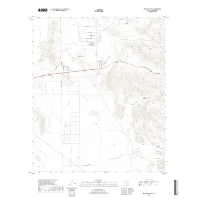 2019 Helms West Well2019 Print · USGSButterfield and the surrounding Chihuahuan Desert are captured here in the late twenty-teens, showing a mix of residential expansion and traditional ranching terrain. Researchers can trace historic routes like the Butterfield Trl and locate remote water sources like Helms West Well and Pow Wow Tank.
 - 2022 Map of Helms West Well, 2022 Print
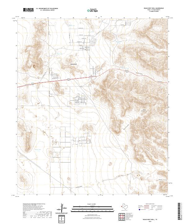 2022 Helms West Well2022 Print · USGSEl Paso County’s high desert landscape comes into focus in this recent survey of the region east of the city. Researchers can trace modern residential grids near Butterfield and Conely alongside traditional water landmarks like Dugout Tank and the canyons of the Hueco Mountains.
End of results
Showing maps 1-18 of 18
Top cities near Butterfield City Number 3 Colonia
- El Paso historical maps
- Socorro historical maps
- Horizon City historical maps
- San Elizario historical maps
Frequently asked questions
- What are the different types of historical maps available for Butterfield City Number 3 Colonia?
- What is the oldest map of Butterfield City Number 3 Colonia?
- Where can I purchase historical maps of Butterfield City Number 3 Colonia for my home or office?
- Where can I download high-res historical maps of Butterfield City Number 3 Colonia?
- Are there historical topographic maps available for Butterfield City Number 3 Colonia?
- Is there historical aerial imagery available for Butterfield City Number 3 Colonia?
- Where are historical maps of Butterfield City Number 3 Colonia sourced from?