Old Maps of Golinda, Texas for Metal Detecting
Plan your next treasure hunt with 16 historic maps of Golinda. Find old homesites, ghost towns, trails, and gathering spots that may be lost to time — perfect for identifying promising metal detecting locations.
- Locate forgotten sites: Uncover places like long-lost settlements, abandoned rail lines, or gathering spots.
- Plan better hunts: Use map overlays combined with LiDAR or satellite views to narrow in on historically rich areas.
- Made for detectorists: Thousands of hobbyists use these maps to discover relics, coins, and hidden history.
Use these historic maps to boost your research and find new opportunities beneath the surface of Golinda.
Golinda, TX maps
(16)- 1892 Map of Temple
 1892 Temple1892 Print · USGSTexas at the turn of the century shows a landscape defined by emerging railroad junctions and river settlements. Genealogists can trace early homesteads and rail-town growth in Temple, McGregor, and Belton near the banks of the Leon River.6 unique versions available
 - 1954 Map of Waco, 1964 Print
 1954 Waco1964 Print · USGSCentral Texas during the mid-fifties shows a landscape defined by the expansion of Fort Hood Military Reservation and the Brazos river system. Trace the rail lines and early airfields like James Connally Air Force Base and settlements like Temple or McGregor.2 unique versions available
 - 1955 Map of Waco
 1955 Waco1955 Print · USGSCentral Texas at the peak of the Cold War reveals a landscape defined by military expansion and major water projects. Researchers can trace the footprints of Fort Hood, the waters of Lake Waco, and regional hubs like Temple or Mexia.
 - 1957 Map of Chilton, 1958 Print
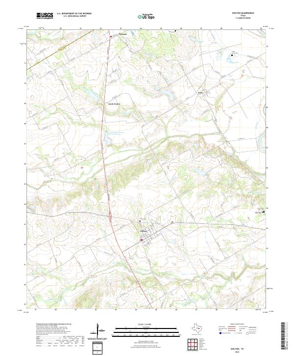
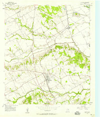 1957 Chilton1958 Print · USGSThe rural landscape of Falls County is captured here in the late fifties as rail lines and river bypasses shaped local life. Genealogists and historians can trace family roots through settlements like Chilton, Satin, and the Little Deer Creek Ch.3 unique versions available
 - 1957 Map of Robinson, 1958 Print
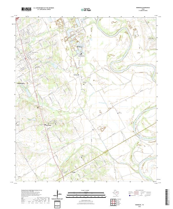
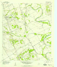 1957 Robinson1958 Print · USGSNear the banks of the Brazos River in the late 1950s, this area shows a landscape defined by rail and river. Genealogists can trace family roots through numerous sites like Rosenthal High Sch, Mt Zion Ch, and Mt Olive Cem.4 unique versions available
 - 1985 Map of Temple
 1985 Temple1985 Print · USGSCentral Texas in the mid-eighties shows a landscape of massive defense installations and deep-rooted farming communities. Genealogists and historians can trace the development of Temple and Gatesville, locate the Gatesville State School for Boys, or explore rural outposts like Zabcikville and Westphalia.2 unique versions available
 - 2010 Map of Chilton, 2010 Print
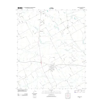
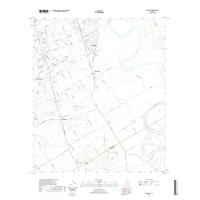
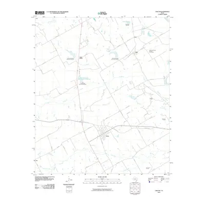 2010 Chilton2010 Print · USGSCovers Golinda, including Chilton, Guda, and other nearby areas
 - 2010 Map of Robinson, 2010 Print
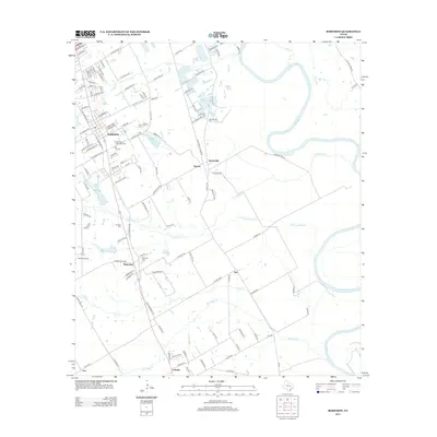
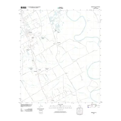 2010 Robinson2010 Print · USGSCovers Golinda, including Waco, Robinson, and other nearby areas
 - 2012 Map of Chilton, 2012 Print
 2012 Chilton2012 Print · USGSCovers Golinda, including Chilton, Guda, and other nearby areas
 - 2012 Map of Robinson, 2012 Print
 2012 Robinson2012 Print · USGSCovers Golinda, including Waco, Robinson, and other nearby areas
 - 2016 Map of Robinson, 2016 Print
 2016 Robinson2016 Print · USGSCovers Golinda, including Waco, Robinson, and other nearby areas
 - 2016 Map of Chilton, 2016 Print
 2016 Chilton2016 Print · USGSCovers Golinda, including Chilton, Guda, and other nearby areas
 - 2019 Map of Robinson, 2019 Print
 2019 Robinson2019 Print · USGSCovers Golinda, including Waco, Robinson, and other nearby areas
 - 2019 Map of Chilton, 2019 Print
 2019 Chilton2019 Print · USGSCovers Golinda, including Chilton, Guda, and other nearby areas
 - 2022 Map of Chilton, 2022 Print
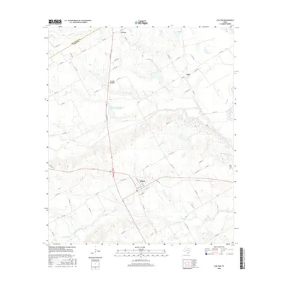
 2022 Chilton2022 Print · USGSThe rural landscape around Chilton and the Brazos River is captured here in the early 2020s, showing a network of ranch roads and historic community centers. Researchers can pinpoint family burial sites at Chilton Cem and Cedar Grove Cem or trace the winding course of Cow Bayou.
 - 2022 Map of Robinson, 2022 Print
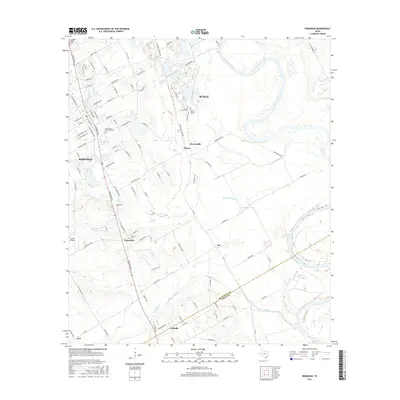
 2022 Robinson2022 Print · USGSSettlements south of Waco thrive along the Brazos River in this modern Texas survey. Genealogists can locate family landmarks at Mount Olive Cem Old, Majors Chapel Cem, and old church sites in Downsville and Rosenthal.
End of results
Showing maps 1-16 of 16
Top cities near Golinda
- Waco historical maps
- Temple historical maps
- Hewitt historical maps
- Robinson historical maps
- Bellmead historical maps
- Woodway historical maps
See more
Frequently asked questions
- What are the different types of historical maps available for Golinda?
- What is the oldest map of Golinda?
- Where can I purchase historical maps of Golinda for my home or office?
- Where can I download high-res historical maps of Golinda?
- Are there historical topographic maps available for Golinda?
- Is there historical aerial imagery available for Golinda?
- Where are historical maps of Golinda sourced from?