Old Maps of Waldeck, Texas for Academic Research
Study the evolution of Waldeck with 9 high-resolution historic maps. Whether you're teaching, researching, or modeling changes in land use, these maps provide essential visual documentation of urban, environmental, and geographic change.
- Analyze long-term change: Track patterns in development, transportation, and natural features.
- Ideal for environmental or urban studies: Support academic projects with primary historical map data.
- Use in the classroom or lab: Educators and researchers rely on these maps to bring historical context to life.
These maps are a powerful tool for teaching, research, and visualizing how Waldeck has changed over the decades.
Waldeck, TX maps
(9)- 1919 Map of Giddings
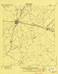 1919 Giddings1919 Print · USGSGiddings and the surrounding Lee County countryside are documented here at the end of the Great War era, when rail travel dominated the Texas interior. Local historians can trace the foundations of rural life through family-named landmarks like the Willy Branch School and numerous post offices including Northrup P.O. and Ledbetter P.O.
 - 1954 Map of Austin, 1964 Print
 1954 Austin1964 Print · USGSCentral Texas is captured during a period of steady growth as the capital city and its neighboring farm towns began to modernize. Researchers can trace historic rail corridors like the Southern Pacific RR or locate landmarks such as Bergstrom Air Force Base and Pilot Knob.4 unique versions available
 - 1958 Map of Nechanitz, 1959 Print
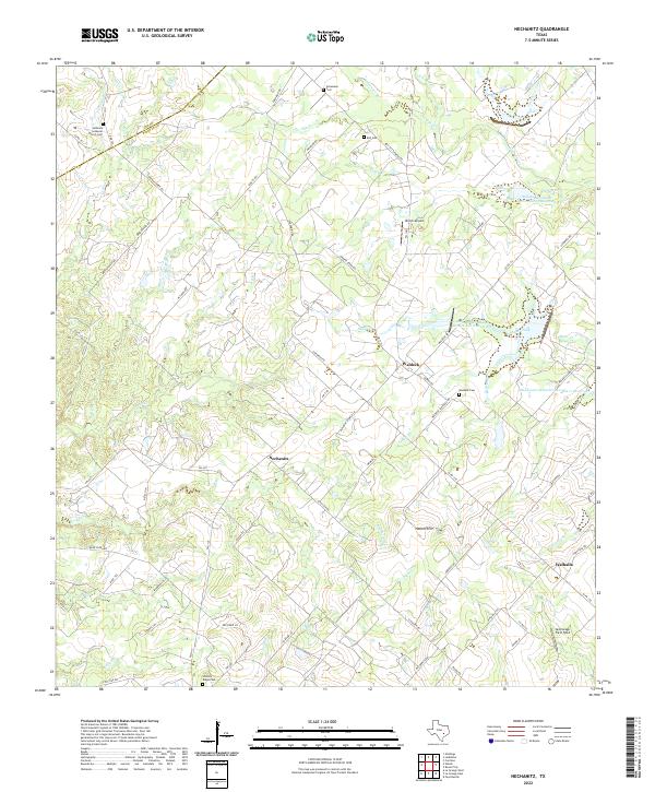
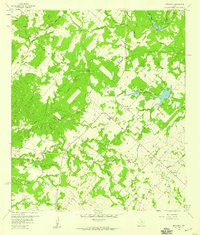 1958 Nechanitz1959 Print · USGSThe rural landscape of Fayette County is captured in the late fifties, showcasing a network of small farming communities and family-named landmarks. Researchers can trace local history through Waldeck Ch, Walhalla, and cemeteries like Schumann Cem.2 unique versions available
 - 1993 Map of Brenham
 1993 Brenham1993 Print · USGSTexas river country and the birthplace of the republic are showcased in the early nineties, centered on the confluence of the Brazos and Navasota. Researchers can trace the rail sidings of the Southern Pacific RR and locate historic community landmarks like St Paul Ch and Washington-on-the-Brazos State Park.
 - 2010 Map of Nechanitz, 2010 Print
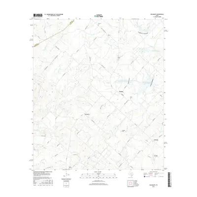
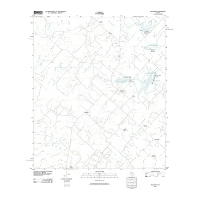 2010 Nechanitz2010 Print · USGSCovers Waldeck, including Post Oak, Nechanitz, and other nearby areas
 - 2013 Map of Nechanitz, 2013 Print
 2013 Nechanitz2013 Print · USGSCovers Waldeck, including Post Oak, Nechanitz, and other nearby areas
 - 2016 Map of Nechanitz, 2016 Print
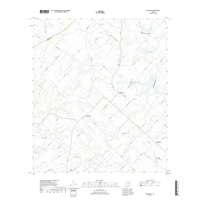
 2016 Nechanitz2016 Print · USGSCovers Waldeck, including Post Oak, Nechanitz, and other nearby areas
 - 2019 Map of Nechanitz, 2019 Print
 2019 Nechanitz2019 Print · USGSCovers Waldeck, including Post Oak, Nechanitz, and other nearby areas
 - 2022 Map of Nechanitz, 2022 Print
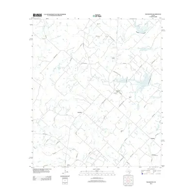
 2022 Nechanitz2022 Print · USGSLife in central Texas revolves around the small communities of Nechanitz and Waldeck in this recent look at Fayette County. Genealogists can trace family names through several rural burial grounds like Hickory Ridge Cem and Bell Cem while following old creek lines.
End of results
Showing maps 1-9 of 9
Top cities near Waldeck
- Giddings historical maps
- La Grange historical maps
- Burton historical maps
- Fayetteville historical maps
- Carmine historical maps
- Ellinger historical maps
See more
Frequently asked questions
- What are the different types of historical maps available for Waldeck?
- What is the oldest map of Waldeck?
- Where can I purchase historical maps of Waldeck for my home or office?
- Where can I download high-res historical maps of Waldeck?
- Are there historical topographic maps available for Waldeck?
- Is there historical aerial imagery available for Waldeck?
- Where are historical maps of Waldeck sourced from?