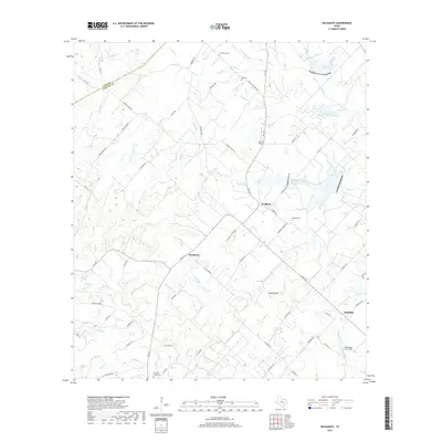
2019 Map of Nechanitz
USGS Topo · Published 2019About this map
Waldeck and the surrounding Fayette County prairie land are defined by a complex network of creeks and family-named landmarks. The landscape is carved by numerous watercourses, including Cummins Cr, Shaw Cr, and Rocky Cr, which feed into local reservoirs like Soil Conservation Service Site 9 Reservoir. The settlement pattern is largely rural, with the small hubs of Nechanitz and Walhalla connected by a web of farm-to-market roads.
Find a feature on this map
75 named features on this map. Tap any name to fly to it.
Don’t see what you’re looking for? This feature index may not catch every label — zoom into the map to look around manually.
Map Details
Editions of this 2019 Nechanitz Map
This is the sole edition of this map. No revisions or reprints were ever made.
Other maps of this area

1919 · Fayettsville
USGS Topo · 1:62,500

1919 · Giddings
USGS Topo · 1:62,500

1953 · Seguin
USGS Topo · 1:250,000

1954 · Austin
USGS Topo · 1:250,000

1956 · La Grange
USGS Topo · 1:62,500

1957 · La Grange East
USGS Topo · 1:24,000

1958 · La Grange West
USGS Topo · 1:24,000

1958 · Seguin
USGS Topo · 1:250,000

1958 · Ledbetter
USGS Topo · 1:24,000
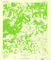
1958 · Nechanitz
USGS Topo · 1:24,000