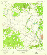
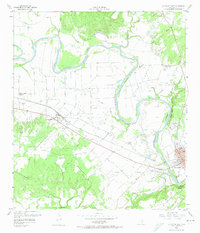
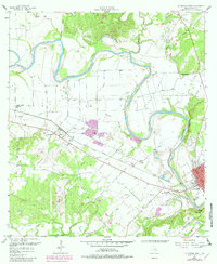
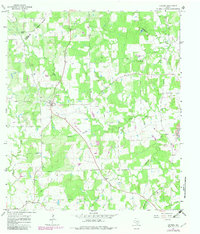
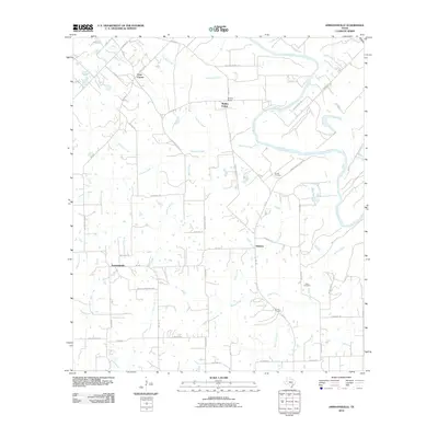
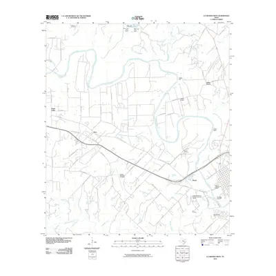
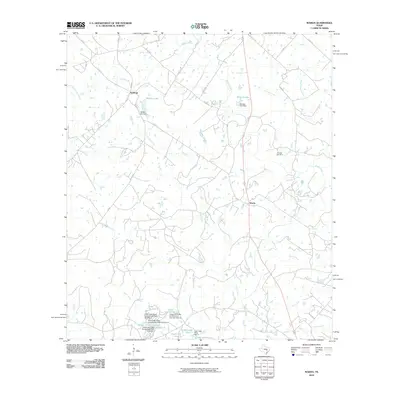
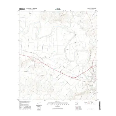
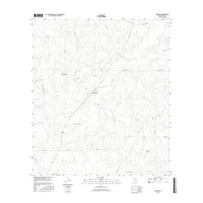
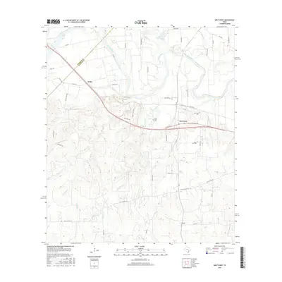
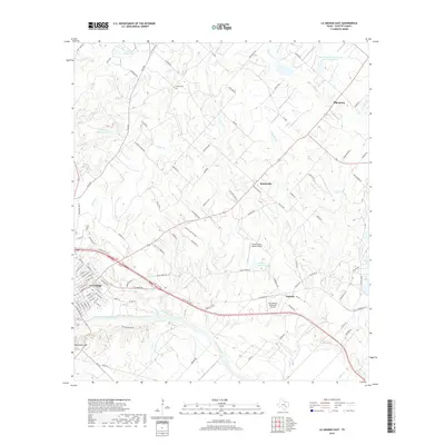
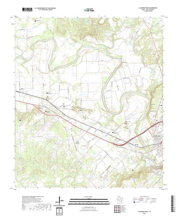
1958 Map of La Grange West
USGS Topo · Published 1958About this map
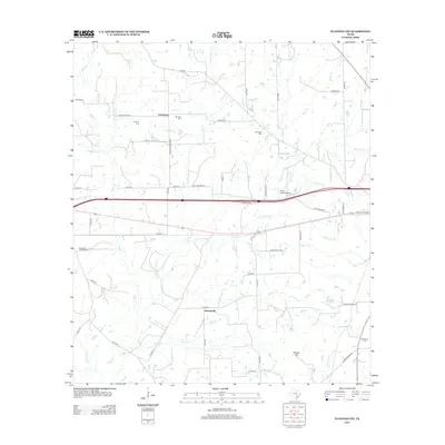
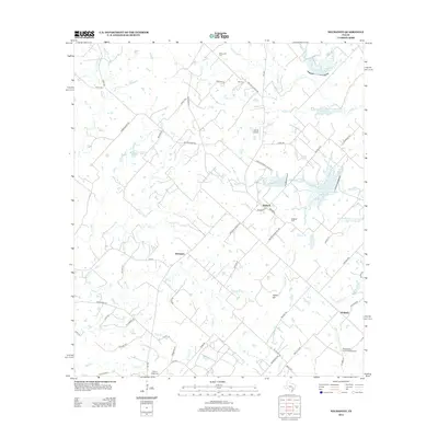
The Colorado River carves a dramatic, looping path through the heart of Fayette County, defining a landscape where agriculture and industry met in the late 1950s. Along the southern banks, the western reaches of La Grange transition from the town center toward rural communities like Plum and Prairie Valley. This era is characterized by active Strip Mines and gravel extractions concentrated near the river’s bends, particularly around Wendt.
Find a feature on this map
59 named features on this map. Tap any name to fly to it.
Don’t see what you’re looking for? This feature index may not catch every label — zoom into the map to look around manually.
Map Details
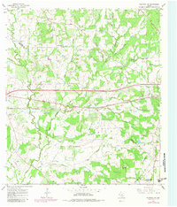
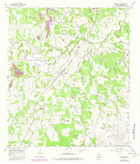
Editions of this 1958 La Grange West Map
3 editions found
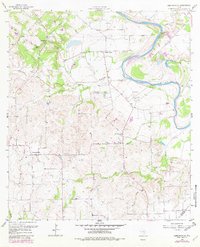
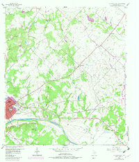
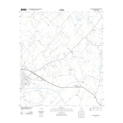
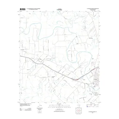
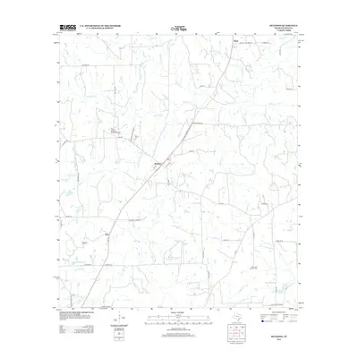
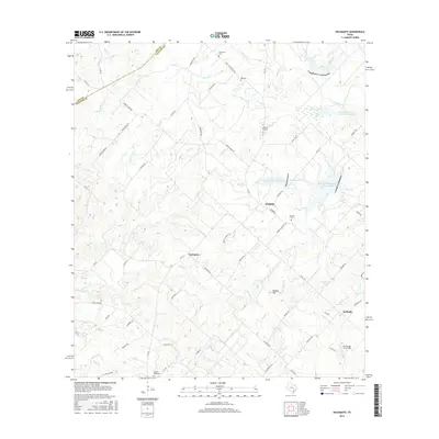
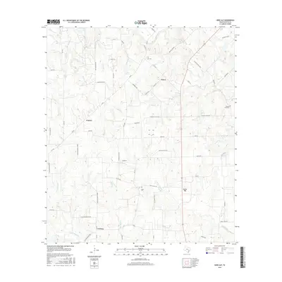
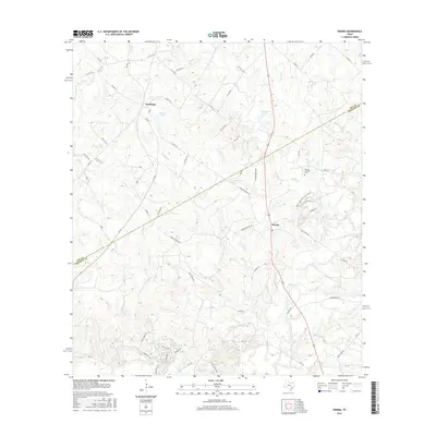
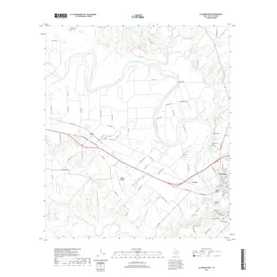
Historical Maps of La Grange Through Time
60 maps found
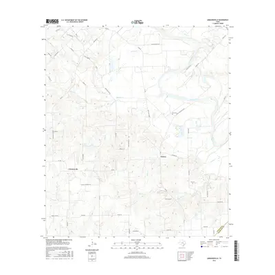
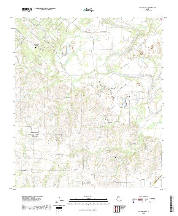
1957 Ammannsville
Fayette County, TX
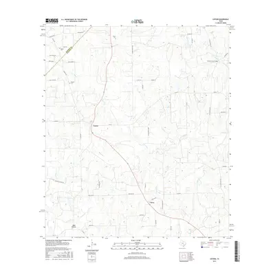
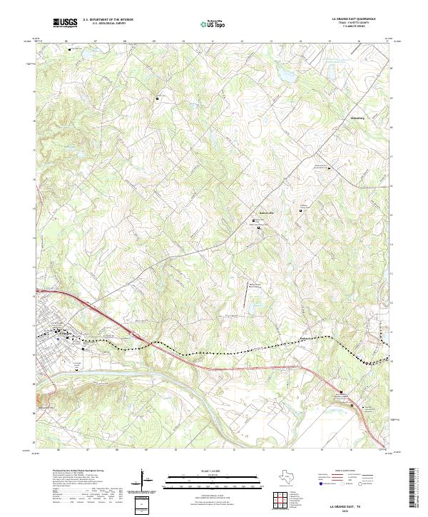
1957 La Grange East
Fayette County, TX
1958 La Grange West
Fayette County, TX
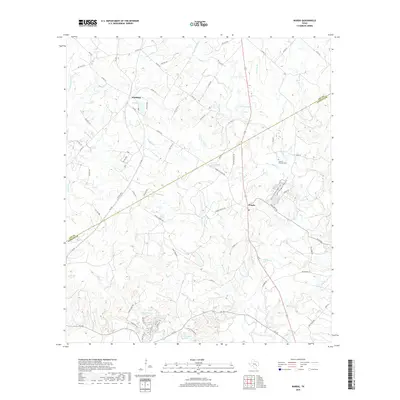
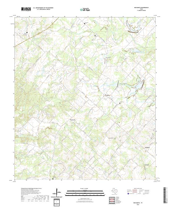
1958 Nechanitz
Fayette County, TX
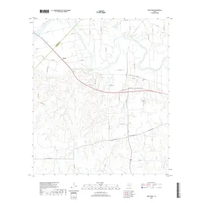
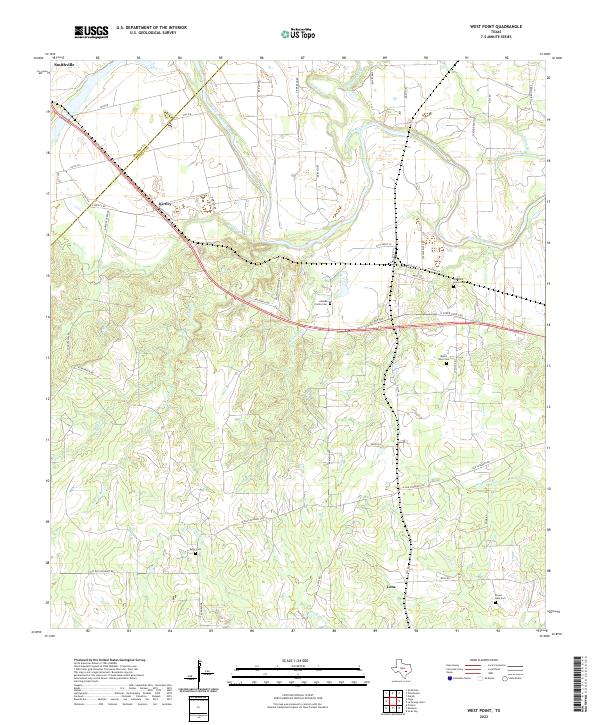
1958 West Point
Fayette County, TX
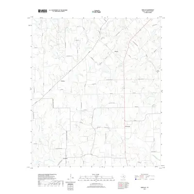
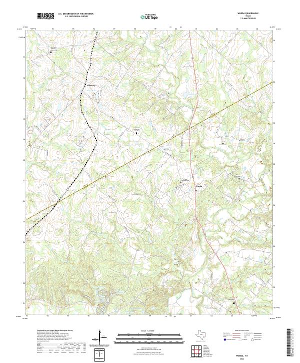
1962 Warda
Fayette County, TX
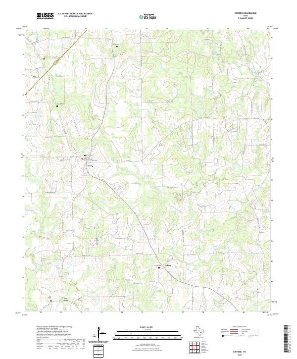
1965 Cistern
Fayette County, TX
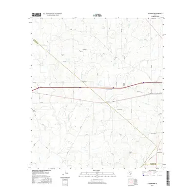
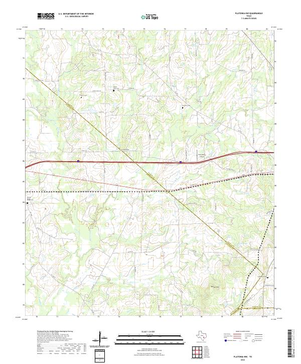
1965 Flatonia NW
Fayette County, TX
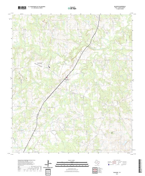
1965 Muldoon
Fayette County, TX
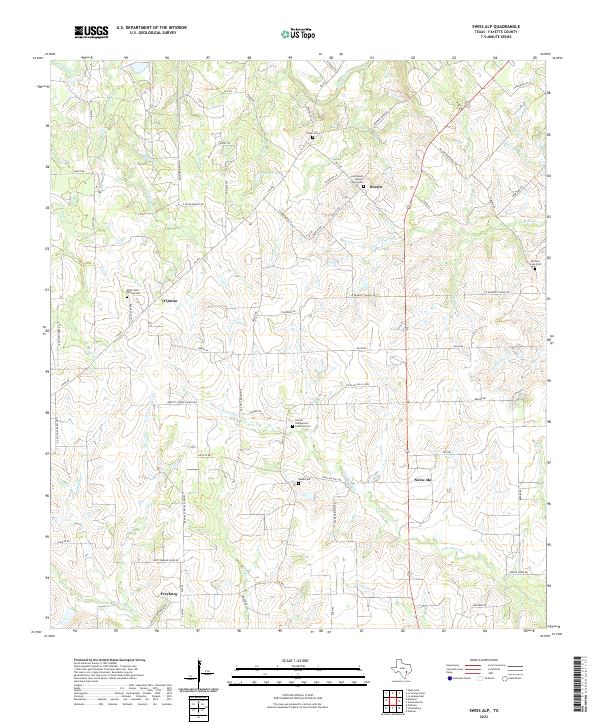
1965 Swiss Alp
Fayette County, TX
2010 Ammannsville
Fayette County, TX
2010 Cistern
Fayette County, TX
2010 Flatonia NW
Fayette County, TX
2010 La Grange East
Fayette County, TX
2010 La Grange West
Fayette County, TX
2010 Muldoon
Fayette County, TX
2010 Nechanitz
Fayette County, TX
2010 Swiss Alp
Fayette County, TX
2010 Warda
Fayette County, TX
2010 West Point
Fayette County, TX
2013 Ammannsville
Fayette County, TX
2013 Cistern
Fayette County, TX
2013 Flatonia NW
Fayette County, TX
2013 La Grange East
Fayette County, TX
2013 La Grange West
Fayette County, TX
2013 Muldoon
Fayette County, TX
2013 Nechanitz
Fayette County, TX
2013 Swiss Alp
Fayette County, TX
2013 Warda
Fayette County, TX
2013 West Point
Fayette County, TX
2016 Ammannsville
Fayette County, TX
2016 Cistern
Fayette County, TX
2016 Flatonia NW
Fayette County, TX

2016 La Grange East
Fayette County, TX
2016 La Grange West
Fayette County, TX
2016 Muldoon
Fayette County, TX
2016 Nechanitz
Fayette County, TX
2016 Swiss Alp
Fayette County, TX
2016 Warda
Fayette County, TX
2016 West Point
Fayette County, TX
2019 Ammannsville
Fayette County, TX
2019 Cistern
Fayette County, TX
2019 Flatonia NW
Fayette County, TX
2019 La Grange East
Fayette County, TX
2019 La Grange West
Fayette County, TX
2019 Muldoon
Fayette County, TX
2019 Nechanitz
Fayette County, TX
2019 Swiss Alp
Fayette County, TX
2019 Warda
Fayette County, TX
2019 West Point
Fayette County, TX
2022 Ammannsville
Fayette County, TX
2022 Cistern
Fayette County, TX
2022 Flatonia NW
Fayette County, TX
2022 La Grange East
Fayette County, TX
2022 La Grange West
Fayette County, TX
2022 Muldoon
Fayette County, TX
2022 Nechanitz
Fayette County, TX
2022 Swiss Alp
Fayette County, TX
2022 Warda
Fayette County, TX
2022 West Point
Fayette County, TX