2000s (21st Century) Maps of Pleak, Texas
Explore 10 historic maps of Pleak from the 2000s (21st Century). These maps offer a rare glimpse into what life looked like during the 2000s — showing old roads, neighborhoods, homes, and landmarks that have changed or disappeared over time.
Whether you're researching your family's past, planning a metal detecting trip, or studying how Pleak's landscape evolved across the 2000s, these high-resolution maps are a powerful tool for exploring the history of this region.
- Focus on a specific era: All maps on this page are from the 2000s, giving you a focused view of this time period.
- See what’s changed: Compare century-old streets, trails, and buildings to today's modern landscape using overlays and satellite layers.
- Research with precision: Use these maps for genealogy, historical research, land use analysis, or educational projects.
- View, download, or print: Maps are fully viewable online in high resolution, and can be downloaded or printed for your own records.
Start exploring Pleak's history through authentic maps from the 2000s. This is your window into the past.
Pleak, TX maps
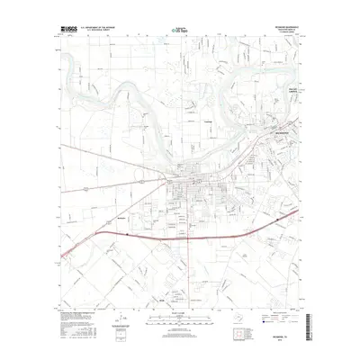
(10)- 2010 Map of Richmond, 2010 Print
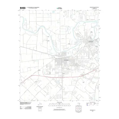 2010 Richmond2010 Print · USGSCovers Pleak, including Rosenberg, Richmond, and other nearby areas
 - 2010 Map of Needville, 2010 Print
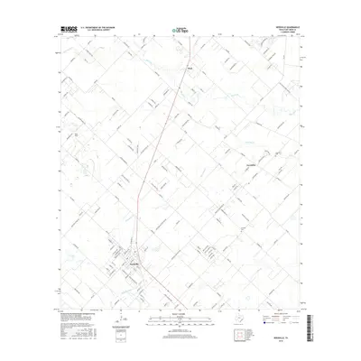
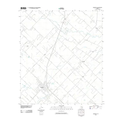 2010 Needville2010 Print · USGSCovers Pleak, including Rosenberg, Needville, and other nearby areas
 - 2013 Map of Needville, 2013 Print
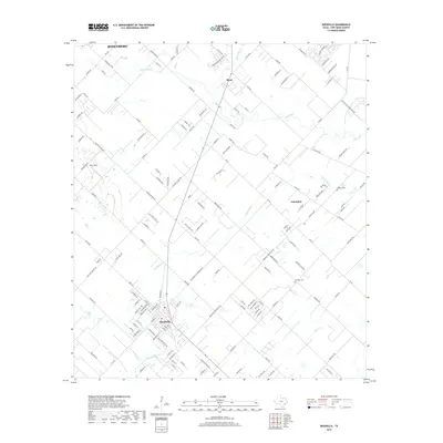
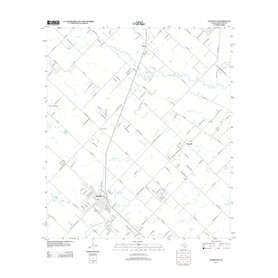 2013 Needville2013 Print · USGSCovers Pleak, including Rosenberg, Needville, and other nearby areas
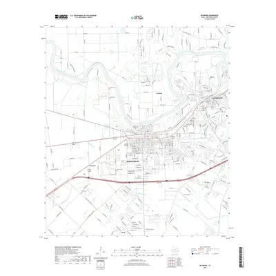
 - 2013 Map of Richmond, 2013 Print
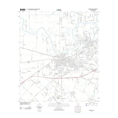 2013 Richmond2013 Print · USGSCovers Pleak, including Rosenberg, Richmond, and other nearby areas
 - 2016 Map of Richmond, 2016 Print
 2016 Richmond2016 Print · USGSCovers Pleak, including Rosenberg, Richmond, and other nearby areas
 - 2016 Map of Needville, 2016 Print
 2016 Needville2016 Print · USGSCovers Pleak, including Rosenberg, Needville, and other nearby areas
 - 2019 Map of Needville, 2019 Print
 2019 Needville2019 Print · USGSCovers Pleak, including Rosenberg, Needville, and other nearby areas
 - 2019 Map of Richmond, 2019 Print
 2019 Richmond2019 Print · USGSCovers Pleak, including Rosenberg, Richmond, and other nearby areas
 - 2022 Map of Needville, 2022 Print
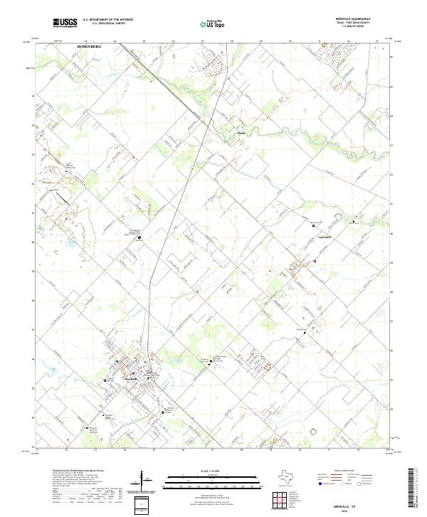 2022 Needville2022 Print · USGSThe rural landscape of Fort Bend County comes into focus in this recent survey of the area around Needville and Fairchilds. Genealogists will find an exceptional density of local landmarks, from the Mennonite Cem and Sitta Cem to the San Francisco Cementerio Sociedad.
 - 2022 Map of Richmond, 2022 Print
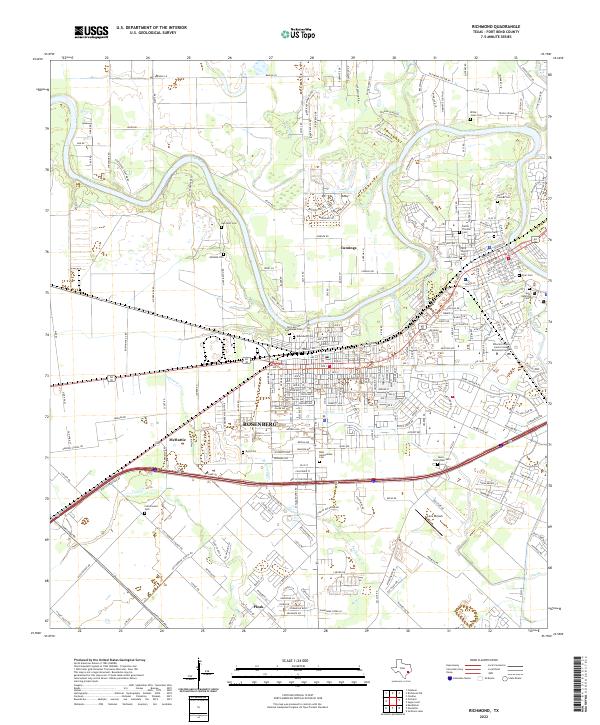 2022 Richmond2022 Print · USGSFort Bend County's twin cities of Rosenberg and Richmond are shown here in the 2020s as they bridge the Brazos River. Genealogists can trace a remarkable number of local burial sites, including Morton Cem, Byrd Cem, and the Faithe Thomas Cem.
End of results
Showing maps 1-10 of 10
Top cities near Pleak
- Houston historical maps
- Sugar Land historical maps
- Missouri City historical maps
- Rosenberg historical maps
- Stafford historical maps
- Richmond historical maps
See more
Frequently asked questions
- What are the different types of historical maps available for Pleak?
- What is the oldest map of Pleak?
- Where can I purchase historical maps of Pleak for my home or office?
- Where can I download high-res historical maps of Pleak?
- Are there historical topographic maps available for Pleak?
- Is there historical aerial imagery available for Pleak?
- Where are historical maps of Pleak sourced from?