Old Maps of Pleak, Texas for Hiking & Exploration
Hike through history with 18 historic maps of Pleak. Explore old trails, ghost towns, and forgotten backroads — perfect for outdoor adventurers and local explorers.
- Rediscover forgotten places: Map out old mining camps, roads, and footpaths that no longer exist on modern maps.
- Layer with modern tools: Combine with LiDAR or satellite views to plan hikes through historical terrain.
- Made for exploration: Popular among hikers, overlanders, and local history lovers.
Use these maps to find adventure and explore the hidden past of Pleak.
Pleak, TX maps
(18)- 1950 Map of Houston, 1953 Print
 1950 Houston1953 Print · USGSCoastal Texas in the early fifties reveals a landscape of massive civil engineering and industrial transit. Genealogists and researchers can trace the growth of the Houston suburbs and the maritime infrastructure of Galveston Bay, including the Gulf Freeway and the Texas City Dike.
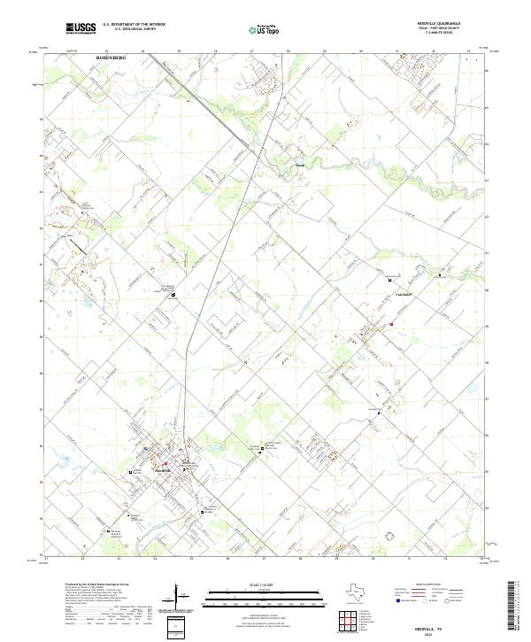
 - 1953 Map of Needville, 1954 Print
 1953 Needville1954 Print · USGSFort Bend County's coastal prairie comes into sharp focus during the mid-century oil boom, showing a landscape transitioning from ranching to petroleum production. Trace family roots at Concord Cem or the Foster Sch (Aban'd), and see the early footprint of the Needville Oil Field.3 unique versions available
 - 1955 Map of Richmond, 1958 Print
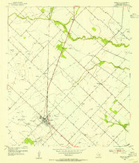
 1955 Richmond1958 Print · USGSFort Bend County during the mid-fifties is captured here as a landscape of meandering rivers and burgeoning rail hubs. Genealogists can trace family names through rural sites like Little Prayer Cem or follow the Old Spanish Trail through Rosenberg.
 - 1956 Map of Houston, 1963 Print
 1956 Houston1963 Print · USGSSoutheast Texas in the mid-fifties is captured here as a powerhouse of oil and maritime trade. Genealogists and historians can trace the foundations of Houston and its ports, alongside landmarks like the Rice Institute and the Spindletop Oil Field.2 unique versions available
 - 1971 Map of Richmond, 1973 Print
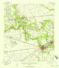
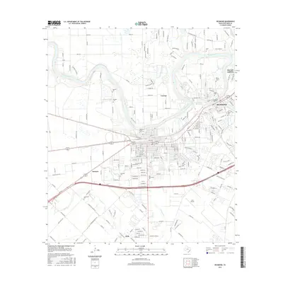
 1971 Richmond1973 Print · USGSRichmond and Rosenberg appear during a period of steady growth along the Brazos River in the early seventies. Researchers can trace numerous burial sites and landmarks like Morton Cem, Richmond State Sch, and the Southern Pacific rail lines.2 unique versions available
 - 1975 Map of Houston, 1977 Print
 1975 Houston1977 Print · USGSThe Texas Gulf Coast in the mid-seventies shows a sprawling Houston metropolis linked to the sea by the massive Houston Ship Channel. Researchers can trace the mid-century industrial landscape from the Astrodome to the Lyndon B. Johnson Space Center.2 unique versions available
 - 1984 Map of Angleton
 1984 Angleton1984 Print · USGSThe Texas Gulf Coast in the mid-eighties shows a landscape of salt domes and bayous at the height of its oil-and-river economy. Researchers can trace land use through the Damon Mound Oil Field and the sprawling State Department of Corrections (Retrieve Unit).2 unique versions available
 - 1992 Map of Houston
 1992 Houston1992 Print · USGSThe Houston metropolitan area reached its modern sprawl in the early nineties, centered on the Buffalo Bayou and a massive regional rail network. Genealogists and historians can trace the development of satellite cities like Sugar Land and Pasadena, or locate legacy sites like the Humble Oil Field and the NASA Lyndon B Johnson Space Center.
 - 2010 Map of Richmond, 2010 Print
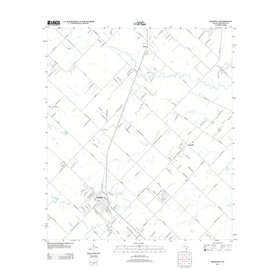
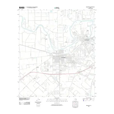 2010 Richmond2010 Print · USGSCovers Pleak, including Rosenberg, Richmond, and other nearby areas
 - 2010 Map of Needville, 2010 Print
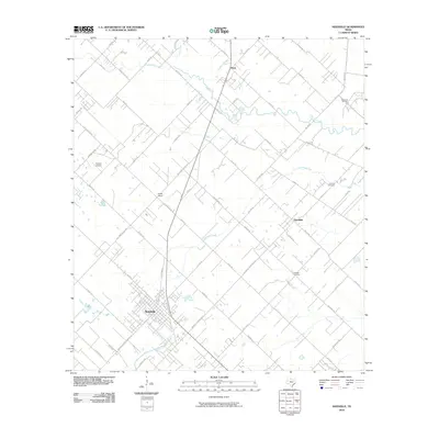 2010 Needville2010 Print · USGSCovers Pleak, including Rosenberg, Needville, and other nearby areas
 - 2013 Map of Needville, 2013 Print
 2013 Needville2013 Print · USGSCovers Pleak, including Rosenberg, Needville, and other nearby areas
 - 2013 Map of Richmond, 2013 Print
 2013 Richmond2013 Print · USGSCovers Pleak, including Rosenberg, Richmond, and other nearby areas
 - 2016 Map of Richmond, 2016 Print
 2016 Richmond2016 Print · USGSCovers Pleak, including Rosenberg, Richmond, and other nearby areas
 - 2016 Map of Needville, 2016 Print
 2016 Needville2016 Print · USGSCovers Pleak, including Rosenberg, Needville, and other nearby areas
 - 2019 Map of Needville, 2019 Print
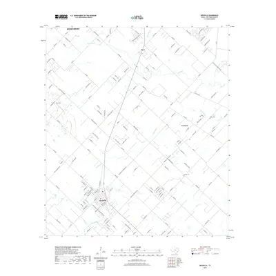 2019 Needville2019 Print · USGSCovers Pleak, including Rosenberg, Needville, and other nearby areas
 - 2019 Map of Richmond, 2019 Print
 2019 Richmond2019 Print · USGSCovers Pleak, including Rosenberg, Richmond, and other nearby areas
 - 2022 Map of Needville, 2022 Print
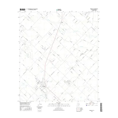
 2022 Needville2022 Print · USGSThe rural landscape of Fort Bend County comes into focus in this recent survey of the area around Needville and Fairchilds. Genealogists will find an exceptional density of local landmarks, from the Mennonite Cem and Sitta Cem to the San Francisco Cementerio Sociedad.
 - 2022 Map of Richmond, 2022 Print
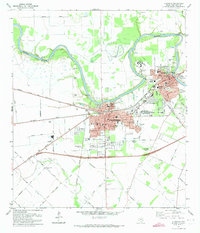
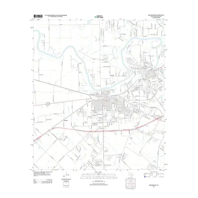
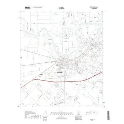
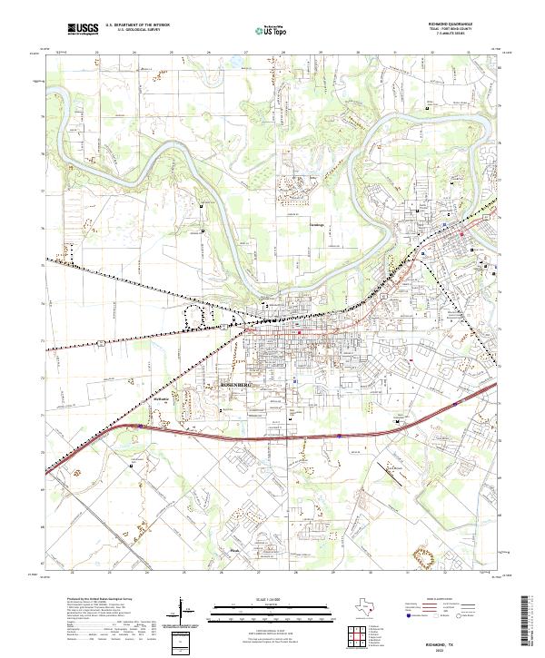 2022 Richmond2022 Print · USGSFort Bend County's twin cities of Rosenberg and Richmond are shown here in the 2020s as they bridge the Brazos River. Genealogists can trace a remarkable number of local burial sites, including Morton Cem, Byrd Cem, and the Faithe Thomas Cem.
End of results
Showing maps 1-18 of 18
Top cities near Pleak
- Houston historical maps
- Sugar Land historical maps
- Missouri City historical maps
- Rosenberg historical maps
- Stafford historical maps
- Richmond historical maps
See more
Frequently asked questions
- What are the different types of historical maps available for Pleak?
- What is the oldest map of Pleak?
- Where can I purchase historical maps of Pleak for my home or office?
- Where can I download high-res historical maps of Pleak?
- Are there historical topographic maps available for Pleak?
- Is there historical aerial imagery available for Pleak?
- Where are historical maps of Pleak sourced from?