Old Maps of Avant Prairie, Texas for Academic Research
Study the evolution of Avant Prairie with 10 high-resolution historic maps. Whether you're teaching, researching, or modeling changes in land use, these maps provide essential visual documentation of urban, environmental, and geographic change.
- Analyze long-term change: Track patterns in development, transportation, and natural features.
- Ideal for environmental or urban studies: Support academic projects with primary historical map data.
- Use in the classroom or lab: Educators and researchers rely on these maps to bring historical context to life.
These maps are a powerful tool for teaching, research, and visualizing how Avant Prairie has changed over the decades.
Avant Prairie, TX maps
(10)- 1919 Map of Fairfield, 1956 Print
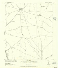 1919 Fairfield1956 Print · USGSFreestone County is captured here after the Great War, showing a network of rural post offices and schoolhouses linked by early wagon roads. You can trace the Trinity and Brazos Valley Railway near Freestone P.O. or locate old community centers like Dew and Turlington P.O..
 - 1954 Map of Waco, 1964 Print
 1954 Waco1964 Print · USGSCentral Texas during the mid-fifties shows a landscape defined by the expansion of Fort Hood Military Reservation and the Brazos river system. Trace the rail lines and early airfields like James Connally Air Force Base and settlements like Temple or McGregor.2 unique versions available
 - 1955 Map of Waco
 1955 Waco1955 Print · USGSCentral Texas at the peak of the Cold War reveals a landscape defined by military expansion and major water projects. Researchers can trace the footprints of Fort Hood, the waters of Lake Waco, and regional hubs like Temple or Mexia.
 - 1965 Map of Dew, 1967 Print
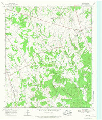 1965 Dew1967 Print · USGSFreestone County in the mid-sixties remains a landscape of traditional Texas farmsteads and prairie openings. Genealogists and local historians can trace family roots through several named cemeteries and churches like Philpott Cem and Salem Ch, or follow the Chicago Rock Island and Pacific rail line.2 unique versions available
 - 1985 Map of Mexia
 1985 Mexia1985 Print · USGSLimestone and Freestone counties are shown in the mid-eighties as centers of rail-linked commerce and growing reservoir systems. Researchers can trace the grounds of Mexia State School, the campus of Westminster College, and historic Fort Parker.2 unique versions available
 - 2010 Map of Dew, 2010 Print
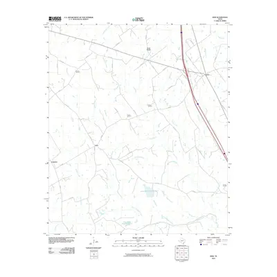 2010 Dew2010 Print · USGSCovers Avant Prairie, including Teague, Dew, and other nearby areas
 - 2013 Map of Dew, 2013 Print
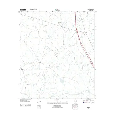 2013 Dew2013 Print · USGSCovers Avant Prairie, including Teague, Dew, and other nearby areas
 - 2016 Map of Dew, 2016 Print
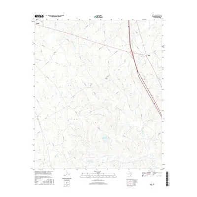 2016 Dew2016 Print · USGSCovers Avant Prairie, including Teague, Dew, and other nearby areas
 - 2019 Map of Dew, 2019 Print
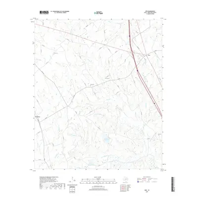 2019 Dew2019 Print · USGSCovers Avant Prairie, including Teague, Dew, and other nearby areas
 - 2022 Map of Dew, 2022 Print
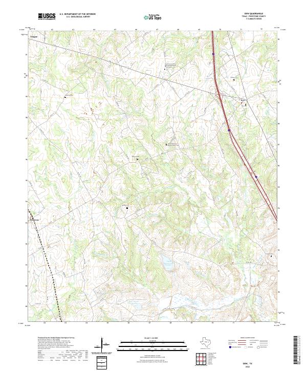 2022 Dew2022 Print · USGSFreestone County in the twenty-first century remains a landscape of quiet creek bottoms and rural crossroads. Researchers can trace historic family burial sites like Antioch Cem and Compton Cem or follow the waters of Upper Keechi Cr and Caroline Cr.
End of results
Showing maps 1-10 of 10
Top cities near Avant Prairie
- Teague historical maps
- Fairfield historical maps
- Buffalo historical maps
- Richland historical maps
- Kirvin historical maps
Frequently asked questions
- What are the different types of historical maps available for Avant Prairie?
- What is the oldest map of Avant Prairie?
- Where can I purchase historical maps of Avant Prairie for my home or office?
- Where can I download high-res historical maps of Avant Prairie?
- Are there historical topographic maps available for Avant Prairie?
- Is there historical aerial imagery available for Avant Prairie?
- Where are historical maps of Avant Prairie sourced from?