Old Maps of Sandy Hill, Gaines County for Metal Detecting
Plan your next treasure hunt with 10 historic maps of Sandy Hill. Find old homesites, ghost towns, trails, and gathering spots that may be lost to time — perfect for identifying promising metal detecting locations.
- Locate forgotten sites: Uncover places like long-lost settlements, abandoned rail lines, or gathering spots.
- Plan better hunts: Use map overlays combined with LiDAR or satellite views to narrow in on historically rich areas.
- Made for detectorists: Thousands of hobbyists use these maps to discover relics, coins, and hidden history.
Use these historic maps to boost your research and find new opportunities beneath the surface of Sandy Hill.
Sandy Hill, Gaines County maps
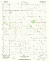
(10)- 1954 Map of Hobbs, 1963 Print
 1954 Hobbs1963 Print · USGSThe High Plains and Permian Basin transition is captured here at the height of the mid-century energy boom. Genealogists and industrial historians can trace the foundations of Humble City, locate the Potash Mine and Plant, and follow the Texas-New Mexico RR.2 unique versions available
 - 1958 Map of Hobbs
 1958 Hobbs1958 Print · USGSThe High Plains of the Texas-New Mexico border are shown here during the height of the mid-century oil boom. Genealogists and historians can trace the development of Hobbs, Lovington, and Jal, alongside ranching landmarks like James Ranch and the early Texas-New Mexico Railway.
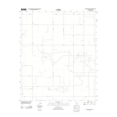
 - 1970 Map of Seagraves SE, 1973 Print
 1970 Seagraves SE1973 Print · USGSGaines County was a landscape of intensive energy production in the early seventies, dominated by the Permian Basin's industrial footprint. Researchers can trace the sprawling Oil Field, Gas Field, and the winding course of McKenzie Draw.
 - 1985 Map of Seminole, 1986 Print
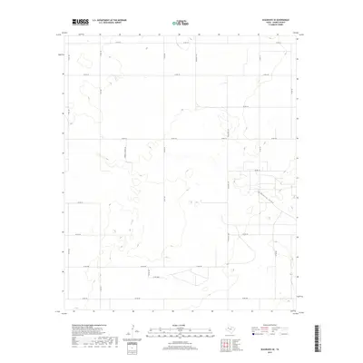
 1985 Seminole1986 Print · USGSGaines County and its neighbors are captured in the mid-eighties during a period of sustained energy production and agricultural persistence. Researchers can trace the sprawling oil fields and rail stops along the Atchison Topeka and Santa Fe near Denver City and Mungerville.
 - 1992 Map of Seminole
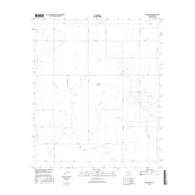
 1992 Seminole1992 Print · USGSThe Texas high plains in the early nineties show a landscape of heavy oil production and rural crossroads. Trace old family connections near Seminole, Denver City, or Seagraves, and explore the natural geography of Cedar (Salt) Lake.
 - 2010 Map of Seagraves SE, 2010 Print
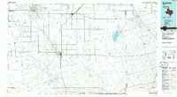
 2010 Seagraves SE2010 Print · USGSCovers Sandy Hill, including Gaines County, United States, and other nearby areas
 - 2012 Map of Seagraves SE, 2012 Print
 2012 Seagraves SE2012 Print · USGSCovers Sandy Hill, including Gaines County, United States, and other nearby areas
 - 2016 Map of Seagraves SE, 2016 Print
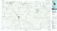
 2016 Seagraves SE2016 Print · USGSCovers Sandy Hill, including Gaines County, United States, and other nearby areas
 - 2019 Map of Seagraves SE, 2019 Print
 2019 Seagraves SE2019 Print · USGSCovers Sandy Hill, including Gaines County, United States, and other nearby areas
 - 2022 Map of Seagraves SE, 2022 Print
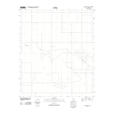
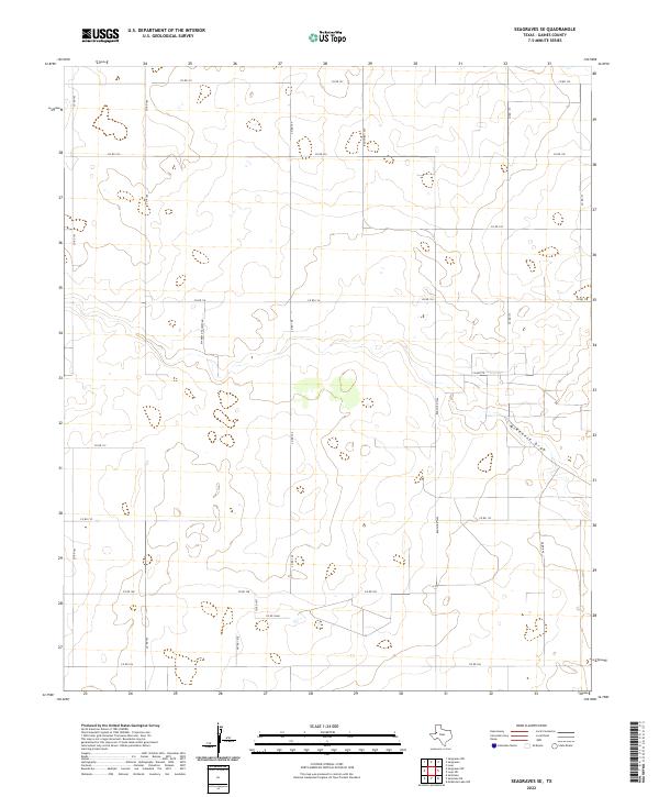 2022 Seagraves SE2022 Print · USGSGaines County's rural ranching landscape is captured here in the early twenty-first century, structured by an extensive grid of section roads. Researchers can trace local landmarks like McKenzie Draw and uniquely named family routes such as Mamaw & Papaw's Rd.
End of results
Showing maps 1-10 of 10
Frequently asked questions
- What are the different types of historical maps available for Sandy Hill?
- What is the oldest map of Sandy Hill?
- Where can I purchase historical maps of Sandy Hill for my home or office?
- Where can I download high-res historical maps of Sandy Hill?
- Are there historical topographic maps available for Sandy Hill?
- Is there historical aerial imagery available for Sandy Hill?
- Where are historical maps of Sandy Hill sourced from?