Old Maps of Beachtown, Galveston for Academic Research
Study the evolution of Beachtown with 15 high-resolution historic maps. Whether you're teaching, researching, or modeling changes in land use, these maps provide essential visual documentation of urban, environmental, and geographic change.
- Analyze long-term change: Track patterns in development, transportation, and natural features.
- Ideal for environmental or urban studies: Support academic projects with primary historical map data.
- Use in the classroom or lab: Educators and researchers rely on these maps to bring historical context to life.
These maps are a powerful tool for teaching, research, and visualizing how Beachtown has changed over the decades.
Beachtown, Galveston maps
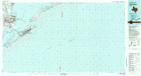
(15)- 1930 Map of Galveston
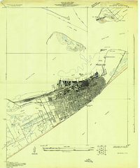 1930 Galveston1930 Print · USGSGalveston thrived as a premier Gulf port and rail terminus during the interwar years. Genealogists and maritime historians can trace the harbor's layout through Union Station, the Fort Crockett Flying Field, and the Immigrant Station.
 - 1933 Map of Galveston, 1943 Print
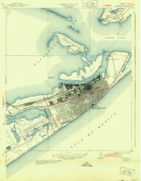 1933 Galveston1943 Print · USGSGalveston and the Bolivar Peninsula are shown in the early 1930s as a major hub for rail, sea, and military defense. Trace the dense network of rail lines ending at Union Sta, the numerous harbor docks, and coastal fortifications like Fort Crockett and Fort Travis.
 - 1943 Map of Galveston, 1952 Print
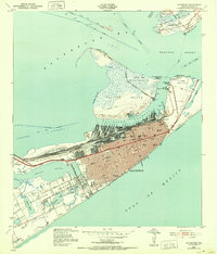 1943 Galveston1952 Print · USGSGalveston at the height of the mid-century maritime era is a dense landscape of coastal defenses and rail terminals. Researchers can trace the legacy of the Southern Pacific lines or locate old military installations like Old Fort San Jacinto and Fort Crockett.
 - 1950 Map of Houston, 1953 Print
 1950 Houston1953 Print · USGSCoastal Texas in the early fifties reveals a landscape of massive civil engineering and industrial transit. Genealogists and researchers can trace the growth of the Houston suburbs and the maritime infrastructure of Galveston Bay, including the Gulf Freeway and the Texas City Dike.
 - 1954 Map of Galveston, 1958 Print
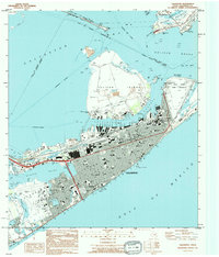
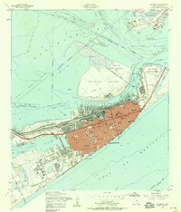 1954 Galveston1958 Print · USGSMid-century Galveston is shown at its peak as a maritime and rail center, guarded by coastal defenses. Genealogists and historians can locate dozens of institutions like the University of Texas Medical College and Ball High Sch, or trace the old railroad grades across the island.4 unique versions available
 - 1956 Map of Houston, 1963 Print
 1956 Houston1963 Print · USGSSoutheast Texas in the mid-fifties is captured here as a powerhouse of oil and maritime trade. Genealogists and historians can trace the foundations of Houston and its ports, alongside landmarks like the Rice Institute and the Spindletop Oil Field.2 unique versions available
 - 1975 Map of Houston, 1977 Print
 1975 Houston1977 Print · USGSThe Texas Gulf Coast in the mid-seventies shows a sprawling Houston metropolis linked to the sea by the massive Houston Ship Channel. Researchers can trace the mid-century industrial landscape from the Astrodome to the Lyndon B. Johnson Space Center.2 unique versions available
 - 1983 Map of Galveston
 1983 Galveston1983 Print · USGSThe Texas Gulf Coast comes into sharp focus in the early eighties, centered on the thriving maritime and industrial hubs of Galveston and Texas City. Trace coastal change and land use through landmarks like Fort San Jacinto, the Texas City Dike, and the expansive Galveston Island State Park.
 - 1994 Map of Galveston
 1994 Galveston1994 Print · USGSThe island city of Galveston and the Bolivar Peninsula are shown here in the mid-1990s, capturing the dense urban grid and maritime infrastructure. Researchers can locate specific sites like City Cem, the Old Fort San Jacinto (Site), and Moody Gardens.
 - 2010 Map of Galveston, 2010 Print
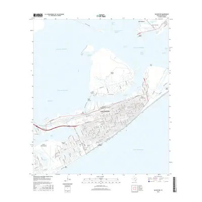
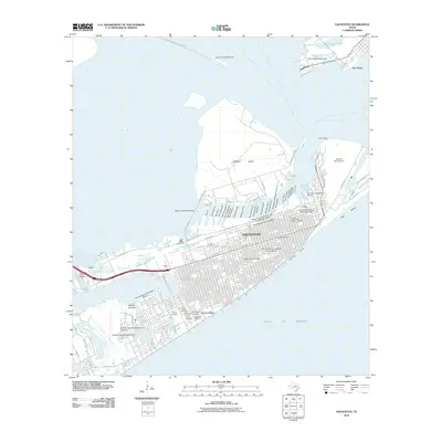 2010 Galveston2010 Print · USGSCovers Beachtown, including Galveston, Texas City, and other nearby areas
 - 2013 Map of Galveston, 2013 Print
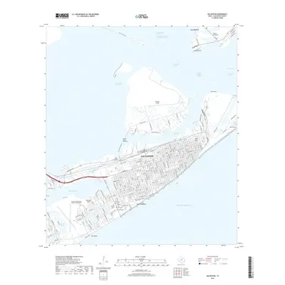
 2013 Galveston2013 Print · USGSCovers Beachtown, including Galveston, Texas City, and other nearby areas
 - 2016 Map of Galveston, 2016 Print
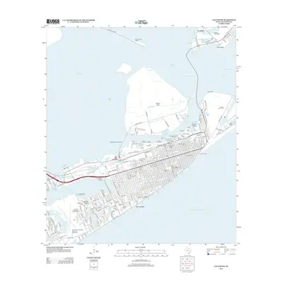
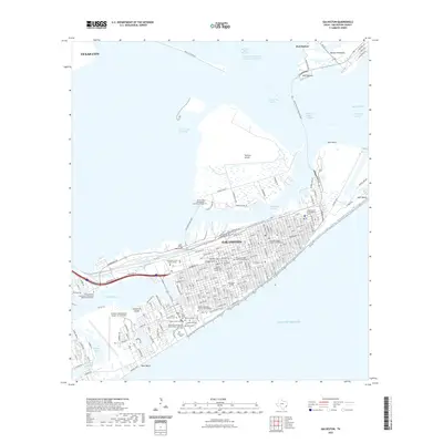
 2016 Galveston2016 Print · USGSCovers Beachtown, including Galveston, Texas City, and other nearby areas
 - 2019 Map of Galveston, 2019 Print
 2019 Galveston2019 Print · USGSCovers Beachtown, including Galveston, Texas City, and other nearby areas
 - 2022 Map of Galveston, 2022 Print
 2022 Galveston2022 Print · USGSCovers Beachtown, including Galveston, Texas City, and other nearby areas
 - 2025 Map of Galveston, 2025 Print
 2025 Galveston2025 Print · USGSGalveston and its surrounding waters are captured in this modern survey of the Texas coast. Researchers can trace over a dozen legacy burial grounds like Old City Cem and locate institutions such as the University of Texas Medical Branch.
End of results
Showing maps 1-15 of 15
Frequently asked questions
- What are the different types of historical maps available for Beachtown?
- What is the oldest map of Beachtown?
- Where can I purchase historical maps of Beachtown for my home or office?
- Where can I download high-res historical maps of Beachtown?
- Are there historical topographic maps available for Beachtown?
- Is there historical aerial imagery available for Beachtown?
- Where are historical maps of Beachtown sourced from?