Old Maps of Gillespie County, Texas for Hiking & Exploration
Hike through history with 133 historic maps of Gillespie County. Explore old trails, ghost towns, and forgotten backroads — perfect for outdoor adventurers and local explorers.
- Rediscover forgotten places: Map out old mining camps, roads, and footpaths that no longer exist on modern maps.
- Layer with modern tools: Combine with LiDAR or satellite views to plan hikes through historical terrain.
- Made for exploration: Popular among hikers, overlanders, and local history lovers.
Use these maps to find adventure and explore the hidden past of Gillespie County.
Gillespie County, TX maps
(133)- 1894 Map of Fredericksburg
 1894 Fredericksburg1894 Print · USGSTexas Hill Country life in the late 1800s is centered on Fredericksburg and the banks of the Pedernales River. Genealogists and historians can trace early settlements and post offices like Martinsburgh, Westbrook, and the curiously named Blowout.4 unique versions available
 - 1894 Map of Kerrville
 1894 Kerrville1894 Print · USGSThe Texas Hill Country in the late nineteenth century was a land of river-valley outposts and high divides. Genealogists and researchers can trace the early footprints of Kerrville, Harper, and Ingram, or locate rural landmarks like Johnson Resort and Steamboat Mountain.4 unique versions available
 - 1954 Map of Llano, 1964 Print
 1954 Llano1964 Print · USGSThe Texas Hill Country and Highland Lakes appear in the mid-fifties, just as new reservoirs began reshaping the landscape. Trace ranching history and river routes from Mason to Llano, or follow the Gulf Colorado and Santa Fe RR past Buchanan Lake.2 unique versions available
 - 1955 Map of Llano
 1955 Llano1955 Print · USGSCentral Texas and the Hill Country are seen here during the mid-1950s growth of the Highland Lakes. Trace old settlements and geologic landmarks from Enchanted Rock and Longhorn Cavern to the small community of Luckenbach.
 - 1956 Map of Llano, 1976 Print
 1956 Llano1976 Print · USGSThe Texas Hill Country comes alive in this mid-seventies survey of the Llano Uplift and Colorado River lakes. Genealogists and historians can trace family roots through settlements like Luckenbach and Castell or locate the famed L B J Ranch and Enchanted Rock.
 - 1961 Map of Stonewall, 1962 Print
 1961 Stonewall1962 Print · USGSGillespie County ranching and Presidential history intersect along the Pedernales River in the early sixties. Researchers can trace family legacies through landmark sites like the LBJ Ranch, St Francis Xavier Ch, and Luckenbach Cem.3 unique versions available
 - 1961 Map of Hye, 1962 Print
 1961 Hye1962 Print · USGSThe Pedernales River valley in the early sixties remains a landscape of sprawling family ranches and rural schoolhouses. Genealogists and historians can trace local legacies at the LBJ Ranch, the Johnson Cem, and early centers like Albert and Hye.3 unique versions available
 - 1961 Map of Cave Creek School, 1962 Print
 1961 Cave Creek School1962 Print · USGSGillespie County ranching life in the early sixties is preserved here through its scattered family homesteads and rural schools. Genealogists can trace local roots at Youngs Chapel Cem or locate the historic Rhinegold Sch and Cave Creek Ch.3 unique versions available
 - 1961 Map of Rocky Creek, 1962 Print
 1961 Rocky Creek1962 Print · USGSThe Texas Hill Country at the start of the 1960s reveals a quiet landscape of riverside quarries and family-named landmarks. Genealogists and local historians can trace the Post Oak Cem or locate the various water sources like Smith Spring and the Pedernales River.2 unique versions available
 - 1963 Map of Cain City, 1967 Print
 1963 Cain City1967 Print · USGSThe Texas Hill Country south of Fredericksburg is captured here in the early sixties, showing rural life along the Pedernales River. Researchers can trace the Old San Antonio Road and locate sites like Luckenbach, Cain City, and the Meusebach Cem.
 - 1964 Map of Oak Crest Park, 1966 Print
 1964 Oak Crest Park1966 Print · USGSGillespie County is shown during the mid-sixties, capturing a landscape of Hill Country ranching and rural aviation. Genealogists can trace family footprints at Morris Ranch and Eckert Cem or locate the Wieder Community House along the Pedernales River.3 unique versions available
 - 1964 Map of Morris Ranch, 1966 Print
 1964 Morris Ranch1966 Print · USGSThe Gillespie County hill country in the mid-1960s is defined by the winding Pedernales River and sprawling ranching estates. Genealogists and researchers can trace family landmarks and rural burials at Hill Crest Cem, Morris Ranch, and the Triple H Ranch.
 - 1964 Map of Nott Branch, 1966 Print
 1964 Nott Branch1966 Print · USGSIn the mid-sixties, this portion of the Texas Hill Country remained a landscape of established family holdings and river-fed ranch lands. Researchers can trace historic property markers and burial sites like Peril Cem and landmarks such as Pillar Rock or the Circle D Ranch.3 unique versions available
 - 1964 Map of Mountain Home, 1967 Print
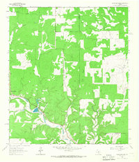 1964 Mountain Home1967 Print · USGSThe Texas Hill Country comes alive in the 1960s as a landscape of remote homesteads and winding creeks. Genealogists and historians can trace the Mountain Home community, find family sites at Sunset Cem, and locate the State Fish Hatchery along Johnson Creek.2 unique versions available
 - 1967 Map of Harper East, 1969 Print
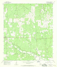 1967 Harper East1969 Print · USGSIn the Texas Hill Country during the late 1960s, the area around Harper remained a landscape of spring-fed creeks and rural crossroads. Researchers can trace family-named landmarks like Priess Springs, locate the local Cem, or follow the course of the Pedernales River.
 - 1967 Map of Cherry Mountain, 1969 Print
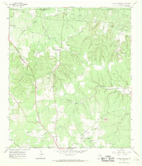 1967 Cherry Mountain1969 Print · USGSIn the Texas Hill Country during the late sixties, this survey captures a landscape of family ranching and small community hubs. Genealogists can trace family names through the Marschall-Meusebach Cem, Dearing Cem, and the settlement at Crenwelge.
 - 1967 Map of Fredericksburg East, 1969 Print
 1967 Fredericksburg East1969 Print · USGSGillespie County in the late sixties shows the steady expansion of Fredericksburg alongside its deep-rooted German heritage. Researchers can trace family-named summits like Henke Hill and Schuetzen Hill or locate the historic City Cem and Cross Mtn.2 unique versions available
 - 1967 Map of Crabapple, 1969 Print
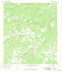 1967 Crabapple1969 Print · USGSThe Texas Hill Country in the late sixties is documented here through its quiet ranching roads and remote family cemeteries. Genealogists can locate specific sites like St John Cem and the settlement of Graves along the banks of Crabapple Creek.2 unique versions available
 - 1967 Map of Doss, 1969 Print
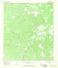 1967 Doss1969 Print · USGSThe Texas Hill Country at the Gillespie and Mason County border is captured here in the late sixties, showing a landscape of working ranches and spring-fed creeks. Genealogists can trace family landmarks like Satler Cem, Kensing Cem, and the Onion Creek Sch.
 - 1967 Map of Cherry Spring, 1969 Print
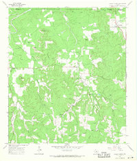 1967 Cherry Spring1969 Print · USGSThe Mason and Gillespie county line runs through this Hill Country terrain in the late sixties, where small settlements like Cherry Spring and Doss anchor the rural landscape. Researchers can trace family history through several burial grounds and landmarks, such as Squaw Creek Cem, Mund Hill, and Langes Mill Road.
 - 1967 Map of Willow City, 1970 Print
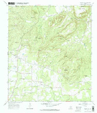 1967 Willow City1970 Print · USGSGillespie County is shown in the late sixties as a landscape of remote Hill Country peaks and quiet rural crossroads. Genealogists and historians can locate Willow City Cem, the Eckert Pumping Sta, and distinctive landmarks like Devils Kitchen or Andy Moore Mountain.2 unique versions available
 - 1967 Map of Blowout, 1970 Print
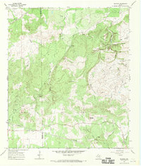 1967 Blowout1970 Print · USGSThe ranchlands of the Texas Hill Country are documented here in the late sixties along the Gillespie and Blanco county lines. Researchers can trace historic family burial sites at Comanche Cemetery and Davis Cemetery or locate landmarks like Blowout Cave and Blackjack Spring.
 - 1967 Map of Roundhead, 1970 Print
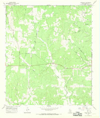 1967 Roundhead1970 Print · USGSGillespie County is shown during the late sixties as a landscape of family-named ranch roads and spring-fed drainages. Trace local genealogy and land use through features like Adobe, Tivydale, the isolated Cem, and the route of Old Mormon Road.
 - 1967 Map of Fredericksburg West, 1970 Print
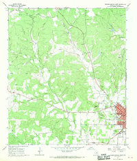 1967 Fredericksburg West1970 Print · USGSGillespie County's hill country terrain and the western edge of the county seat are captured in the late sixties. Researchers can trace rural family-named landmarks like Schneider Hill or locate historical sites including St Mary Cem and Schlugh Cem.2 unique versions available
 - 1974 Map of Harper West, 1977 Print
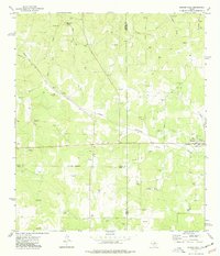 1974 Harper West1977 Print · USGSThe Pedernales River headwaters area comes alive in the 1970s, showing a landscape defined by ranching and gravel extraction. Trace local family history through landmarks like Bur Oak Windmill, Shin Oak Spring, and the settlement of Harper.
Showing maps 1-25 of 133
Top cities of Gillespie County
Frequently asked questions
- What are the different types of historical maps available for Gillespie County?
- What is the oldest map of Gillespie County?
- Where can I purchase historical maps of Gillespie County for my home or office?
- Where can I download high-res historical maps of Gillespie County?
- Are there historical topographic maps available for Gillespie County?
- Is there historical aerial imagery available for Gillespie County?
- Where are historical maps of Gillespie County sourced from?