2000s (21st Century) Maps of Gillespie County, Texas
Explore 105 historic maps of Gillespie County from the 2000s (21st Century). These maps offer a rare glimpse into what life looked like during the 2000s — showing old roads, neighborhoods, homes, and landmarks that have changed or disappeared over time.
Whether you're researching your family's past, planning a metal detecting trip, or studying how Gillespie County's landscape evolved across the 2000s, these high-resolution maps are a powerful tool for exploring the history of this region.
- Focus on a specific era: All maps on this page are from the 2000s, giving you a focused view of this time period.
- See what’s changed: Compare century-old streets, trails, and buildings to today's modern landscape using overlays and satellite layers.
- Research with precision: Use these maps for genealogy, historical research, land use analysis, or educational projects.
- View, download, or print: Maps are fully viewable online in high resolution, and can be downloaded or printed for your own records.
Start exploring Gillespie County's history through authentic maps from the 2000s. This is your window into the past.
Gillespie County, TX maps
(105)- 2010 Map of Harper East, 2010 Print
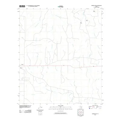 2010 Harper East2010 Print · USGSGillespie County land patterns and water resources are documented here during the first decade of the 2000s. Researchers can trace the rural road network near Harper and locate family-named terrain features like Priess Hollow and Rogers Draw.
 - 2010 Map of Cave Creek School, 2010 Print
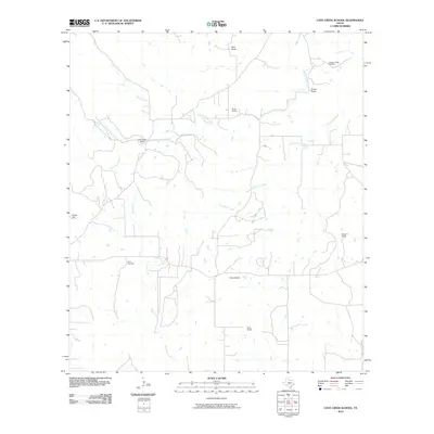 2010 Cave Creek School2010 Print · USGSGillespie County ranchlands are documented here at the start of the 2010s, showing a landscape of family-run operations and seasonal creeks. Genealogists can locate named homesteads like the Rusk Ranch or trace family roots near the Youngs Chapel Cemetery and Rode Cemetery.
 - 2010 Map of Harper West, 2010 Print
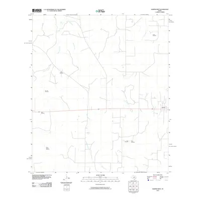 2010 Harper West2010 Print · USGSGillespie County ranching land and the headwaters of the Pedernales River are documented here during the early twenty-first century. Researchers can trace land use through namesake landmarks like Priess Pasture Windmill, Parker Spring, and the western outskirts of Harper.
 - 2010 Map of Fredericksburg West, 2010 Print
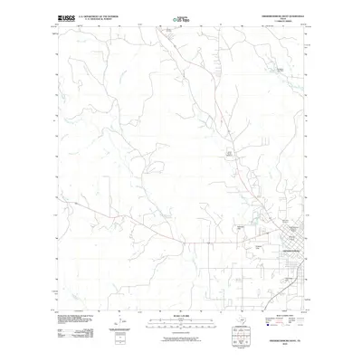 2010 Fredericksburg West2010 Print · USGSFredericksburg and the surrounding Hill Country terrain are captured here in the early twenty-first century as the historic core continued to thrive. Researchers can locate the Fredericksburg Historic District, family burial sites like Schugh Cemetery, and local landmarks including Schneider Hill.
 - 2010 Map of Crabapple, 2010 Print
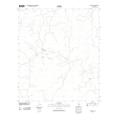 2010 Crabapple2010 Print · USGSThe rural Hill Country around Crabapple is shown here in the early twenty-first century, preserving a landscape shaped by family-named creeks and springs. Genealogists can trace local roots through several burial sites like Saint John Cemetery and Welgehausen Cemetery.
 - 2010 Map of Willow City, 2010 Print
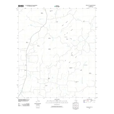 2010 Willow City2010 Print · USGSGillespie County in the early 2000s is shown here as a rugged landscape of named peaks and ranching outposts. Researchers can trace the layout of the Willow City and Eckert communities or locate sites like the Willow City Cemetery and Devils Kitchen.
 - 2010 Map of Doss, 2010 Print
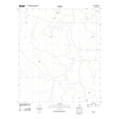 2010 Doss2010 Print · USGSGillespie County ranching country is documented here in the early twenty-first century, centered on the historic settlement of Doss. Researchers can trace old family burial grounds like Satler Cemetery and local landmarks such as Schoolhouse Hollow and Bierschwale Spring.
 - 2010 Map of Blowout, 2010 Print
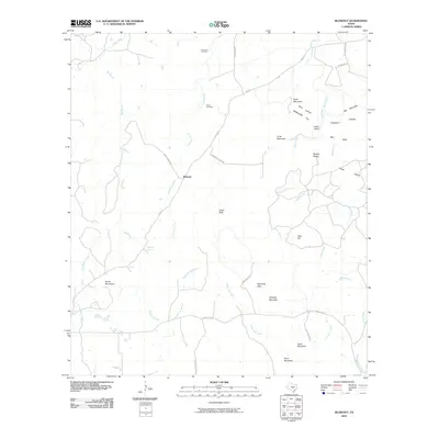 2010 Blowout2010 Print · USGSThe Texas Hill Country around the community of Blowout is mapped here in the early twenty-first century. Genealogists and local historians can trace legacy sites like Comanche Cemetery, Blackjack Spring, and the prominent peaks of the Smith Mountains.
 - 2010 Map of Morris Ranch, 2010 Print
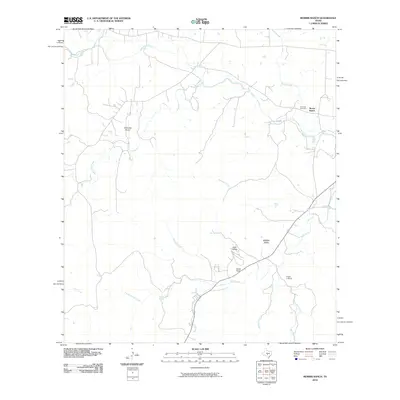 2010 Morris Ranch2010 Print · USGSGillespie County ranching land and the Pedernales River are documented here in the early twenty-first century. Researchers can locate family landmarks and sites such as Hill Crest Cemetery, Morris Ranch, and the White Oak Airport.
 - 2010 Map of Rocky Creek, 2010 Print
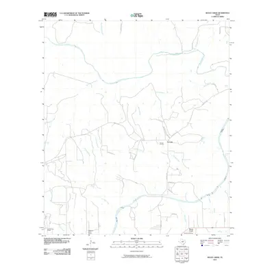 2010 Rocky Creek2010 Print · USGSBlanco County’s ranching heartland is captured here in the early 2010s, defined by the winding Pedernales River and rural homesteads. Genealogists and local historians can locate Post Oak Cemetery and trace the many branches of North Grape Creek across the landscape.
 - 2010 Map of Lady Bird Johnson Park, 2010 Print
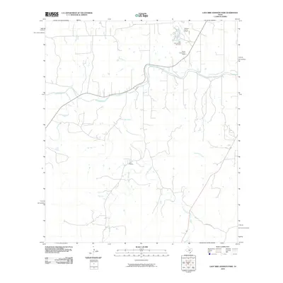 2010 Lady Bird Johnson Park2010 Print · USGSGillespie County at the turn of the millennium shows a landscape defined by the winding Pedernales River and rural family heritage. Genealogists and local historians can locate the Eckert Cemetery or trace the area's development near Wrede Community House.
 - 2010 Map of Nott Branch, 2010 Print
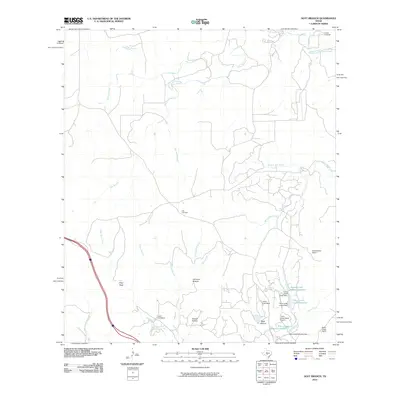 2010 Nott Branch2010 Print · USGSKerr County ranching culture and aviation meet in the Hill Country during the early twenty-first century. Genealogists and local historians can locate Peril Cemetery or trace the development of the Tierra Linda Ranch Airport and its nearby reservoirs.
 - 2010 Map of The Falls, 2010 Print
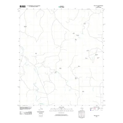 2010 The Falls2010 Print · USGSGillespie County, Texas, is mapped here in the early twenty-first century, showing a landscape defined by essential water sources and ranching heritage. Genealogists and local historians can locate Anderegg Cemetery and historic ranch sites like Rock House Windmill and Bierschwale Windmill.
 - 2010 Map of Cherry Spring, 2010 Print
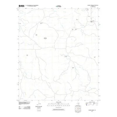 2010 Cherry Spring2010 Print · USGSGillespie County is shown in this 2010 survey, capturing a landscape where ranching roots and family legacies are etched into the terrain. Genealogists can trace local ancestry through sites like Mund Cemetery, the Neyland Mine, and several family-named landmarks including Lehmann Mountain.
 - 2010 Map of Roundhead, 2010 Print
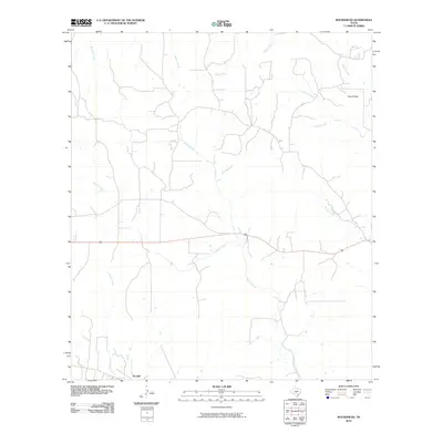 2010 Roundhead2010 Print · USGSGillespie County's rural ranching landscape is captured here in the early twenty-first century, showing the settlement patterns of the Hill Country. Genealogists and local historians can trace the creek-side locations of Tivydale and Roundhead along Spring Creek and Dittmar Creek.
 - 2010 Map of Mountain Home, 2010 Print
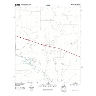 2010 Mountain Home2010 Print · USGSThe Texas Hill Country around Mountain Home is captured here in the early twenty-first century, a landscape of family ranches and private aviation. Researchers can locate the Sunset Cemetery and trace water features like Johnson Creek and Cedar Lake.
 - 2010 Map of Cain City, 2010 Print
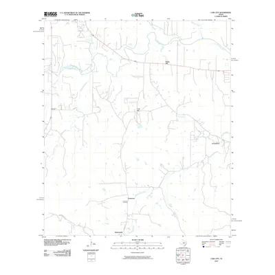 2010 Cain City2010 Print · USGSGillespie County in the early twenty-first century reveals a network of rural crossroads and established family ranchlands. Researchers can trace local heritage through Luckenbach, Cain City, and the Meusebach Cemetery while following the path of the Pedernales River.
 - 2010 Map of Fredericksburg East, 2010 Print
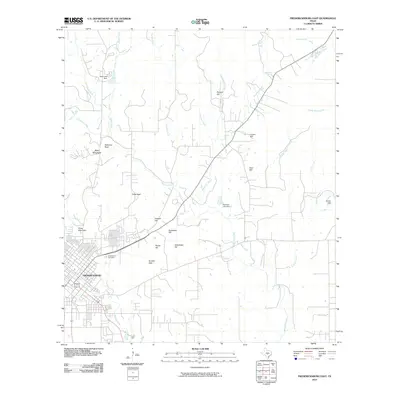 2010 Fredericksburg East2010 Print · USGSGillespie County's German heritage and distinctive Hill Country terrain are visible here in the first decade of the 2000s. Genealogists and local historians can trace the landscape around Fredericksburg, from Greenwood Cemetery to family landmarks like Kordzik Hills and Roos Falls.
 - 2010 Map of Cherry Mountain, 2010 Print
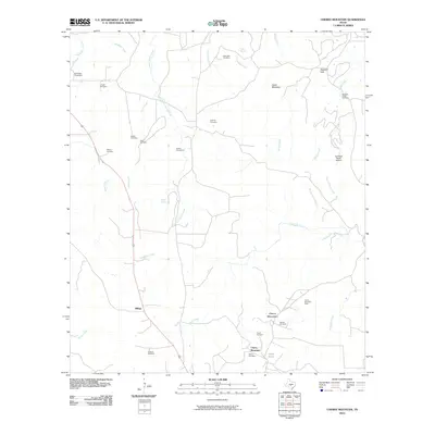 2010 Cherry Mountain2010 Print · USGSGillespie County, Texas, is documented here in the early twenty-first century as a landscape of family ranching and mining. Genealogists can locate numerous family burial sites like the Schneider Cemetery and Rode Cemetery near the Cherry Mountain Mine.
 - 2010 Map of Hye, 2010 Print
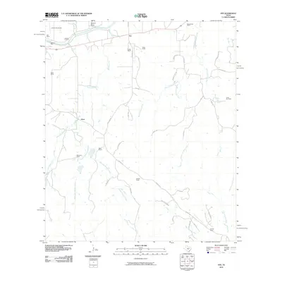 2010 Hye2010 Print · USGSBlanco County ranching traditions and presidential history are preserved here in the early twenty-first century. Genealogists and local historians can trace the legacy of the LBJ Ranch and family sites like the Johnson Cemetery and Wilke Ranch.
 - 2010 Map of Stonewall, 2010 Print
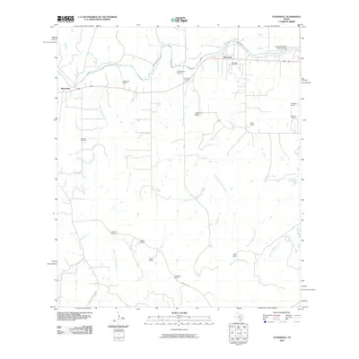 2010 Stonewall2010 Print · USGSGillespie County's ranching traditions and riverfront settlements are preserved here in the early twenty-first century. Genealogists and local researchers can locate family landmarks like the Luckenbach Cemetery, Franz Ranch, and the Lyndon B Johnson State Park Dam.
 - 2012 Map of Crabapple, 2012 Print
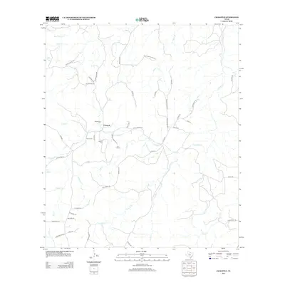 2012 Crabapple2012 Print · USGSCrabapple and the surrounding Gillespie County ranchlands are documented here in the early twenty-first century. Genealogists can trace family legacies at the Welgehausen Cem and Saint John Cem or follow the waters of Crabapple Cr.
 - 2012 Map of Cherry Spring, 2012 Print
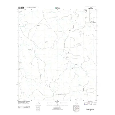 2012 Cherry Spring2012 Print · USGSGillespie County ranching and family heritage are on full display in this 2010s survey of the Hill Country. Researchers can locate numerous family burial sites and landmarks like Lange Cem, Mund Hill, and the settlement of Cherry Spring.
 - 2012 Map of Cain City, 2012 Print
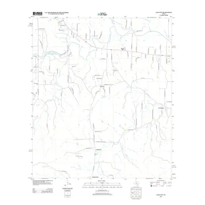 2012 Cain City2012 Print · USGSGillespie County's rural communities and historic ranch lands are captured here just after the turn of the millennium. Researchers can trace family history through sites like Meusebach Cem, the small settlement of Luckenbach, and the winding course of the Pedernales River.
 - 2012 Map of Cherry Mountain, 2012 Print
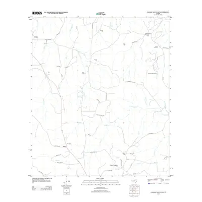 2012 Cherry Mountain2012 Print · USGSGillespie County's rural heritage is well-preserved in this modern survey of the ranchlands and peaks northwest of Fredericksburg. Genealogists can trace family lines through numerous burial sites like Ahrens Cemeteries and Dittmar Cem, or locate the historic settlement at Hilltop.
Showing maps 1-25 of 105
Top cities of Gillespie County
Frequently asked questions
- What are the different types of historical maps available for Gillespie County?
- What is the oldest map of Gillespie County?
- Where can I purchase historical maps of Gillespie County for my home or office?
- Where can I download high-res historical maps of Gillespie County?
- Are there historical topographic maps available for Gillespie County?
- Is there historical aerial imagery available for Gillespie County?
- Where are historical maps of Gillespie County sourced from?