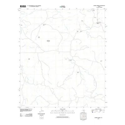
2010 Map of Cherry Spring
USGS Topo · Published 2010About this map
Cherry Spring serves as the primary focal point of this Gillespie County landscape, situated amidst a complex network of waterways including Squaw Creek and Threadgill Creek. The area is characterized by several family-named topographical features such as Lehmann Mountain, Brockmann Point, and Mund Hill, which define the local drainage patterns for the various creeks that feed into the region. Evidence of early settlement and land use is found throughout the quadrangle, notably in the collection of scattered family burial sites including Evers Cemetery, Welge Cemetery, and the Lange Cemetery. The Presence of the Neyland Mine on the eastern edge of the survey suggests small-scale mineral extraction in this part of the Texas Hill Country. Further south, significant landmarks like Buckeye Point and Indian Point overlook the winding paths of Dry Mormon Creek and Flores Creek.
Find a feature on this map
27 named features on this map. Tap any name to fly to it.
Don’t see what you’re looking for? This feature index may not catch every label — zoom into the map to look around manually.
Map Details
Editions of this 2010 Cherry Spring Map
This is the sole edition of this map. No revisions or reprints were ever made.
Other maps of this area

1887 · Llano
USGS Topo · 1:125,000

1887 · Mason
USGS Topo · 1:125,000

1894 · Mason
USGS Topo · 1:125,000

1894 · Fredericksburg
USGS Topo · 1:125,000

1894 · Kerrville
USGS Topo · 1:125,000

1894 · Llano
USGS Topo · 1:125,000

1904 · Llano
USGS Topo · 1:125,000

1909 · Llano
USGS Topo · 1:125,000

1918 · Llano
USGS Topo · 1:125,000

1954 · Llano
USGS Topo · 1:250,000