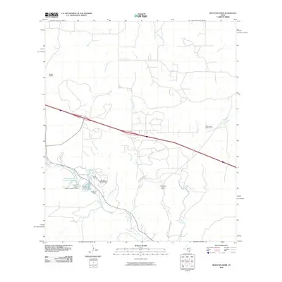
2010 Map of Mountain Home
USGS Topo · Published 2010About this map
Johnson Creek and its many seasonal tributaries carve through this portion of the Texas Hill Country, defining a landscape of ranching and private aviation. Near the center of the sheet, the Brinkman Ranch/Mountain Home Airport and Tecaboca Camp sit adjacent to Cedar Lake, which is formed by the Cedar Lake Dam. This area shows a pattern of high-country ranching where private airstrips like Cielo Grande Ranch Airport and Dos Arroyos Ranch Airport are as common as traditional landmarks.
Find a feature on this map
18 named features on this map. Tap any name to fly to it.
Don’t see what you’re looking for? This feature index may not catch every label — zoom into the map to look around manually.
Map Details
Editions of this 2010 Mountain Home Map
This is the sole edition of this map. No revisions or reprints were ever made.
Other maps of this area

1894 · Kerrville
USGS Topo · 1:125,000

1954 · Llano
USGS Topo · 1:250,000

1955 · Llano
USGS Topo · 1:250,000

1956 · Llano
USGS Topo · 1:250,000

1964 · Nott Branch
USGS Topo · 1:24,000
1964 · Contrary Creek
USGS Topo · 1:24,000
1964 · Kerrville
USGS Topo · 1:24,000
1964 · Bee Caves Creek
USGS Topo · 1:24,000
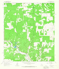
1964 · Mountain Home
USGS Topo · 1:24,000
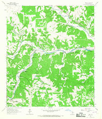
1964 · Hunt
USGS Topo · 1:24,000