
1964 Map of Nott Branch
USGS Topo · Published 1966About this map
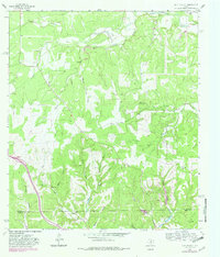
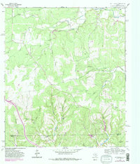
The Pedernales River carves through the northern reaches of this Hill Country landscape, setting the stage for a territory defined by ranching and deep limestone drainages. Established operations like Circle D Ranch and Cottonwood Ranch dominate the cleared uplands, while the land is deeply incised by a network of seasonal watercourses including Nott Branch, Spanish Oak Creek, and White Oak Creek. The presence of several family-scale burial sites, such as the Peril Cem, indicates the enduring settlement of these ridges by early Texas families.
Find a feature on this map
30 named features on this map. Tap any name to fly to it.
Don’t see what you’re looking for? This feature index may not catch every label — zoom into the map to look around manually.
Map Details
Editions of this 1964 Nott Branch Map
3 editions found
Other maps of this area

1894 · Kerrville
USGS Topo · 1:125,000

1954 · Llano
USGS Topo · 1:250,000

1955 · Llano
USGS Topo · 1:250,000

1956 · Llano
USGS Topo · 1:250,000

1964 · Morris Ranch
USGS Topo · 1:24,000
1964 · Kerrville
USGS Topo · 1:24,000
1964 · Mountain Home
USGS Topo · 1:24,000
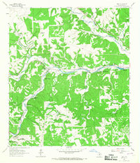
1964 · Hunt
USGS Topo · 1:24,000
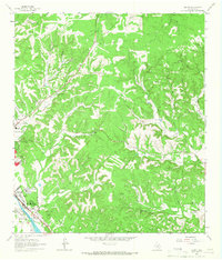
1964 · Legion
USGS Topo · 1:24,000
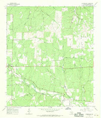
1967 · Harper East
USGS Topo · 1:24,000