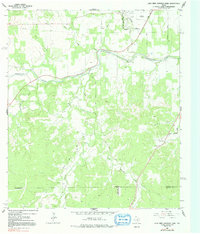
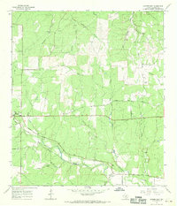
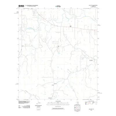
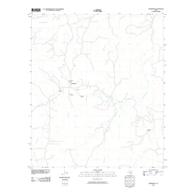
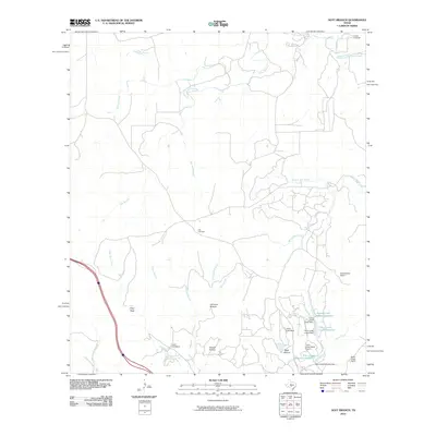
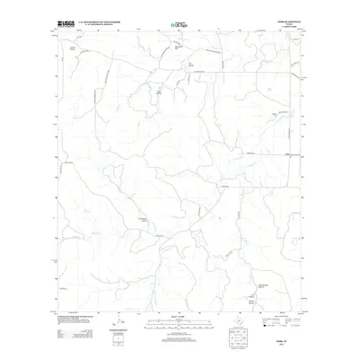
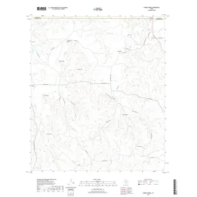
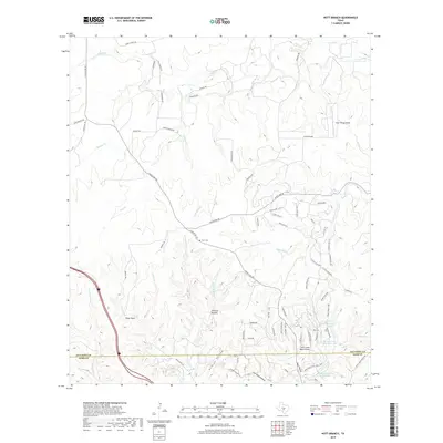
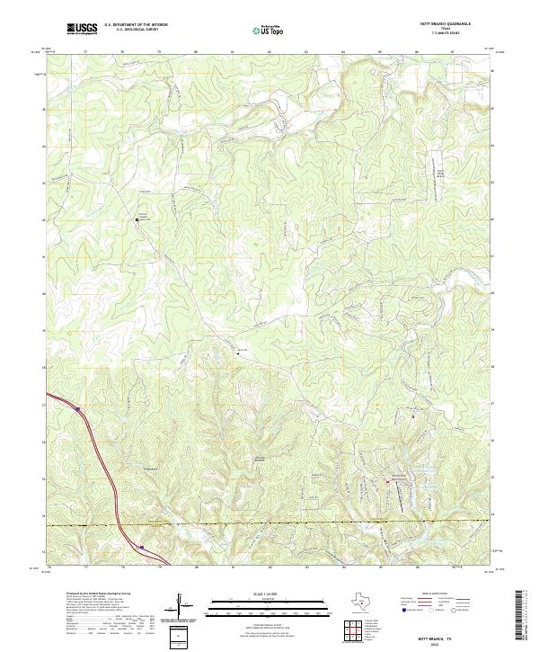
1964 Map of Nott Branch
USGS Topo · Published 1982About this map
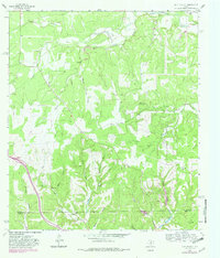
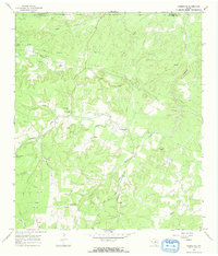
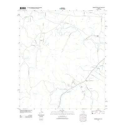
The Pedernales River carves through the northern reaches of this Hill Country landscape, setting a winding course that defines the local drainage patterns. In the mid-1960s, this area on the border of Gillespie and Kerr counties was characterized by scattered ranching outposts such as Circle D Ranch and Cottonwood Ranch. The topography is intricately detailed, showing numerous steep draws and seasonal watercourses like Centipede Creek and Nott Branch that feed into the larger river system. Local landmarks such as Pillar Rock and Goat Hill provide distinct navigational points for researchers of the terrain. The presence of the Peril Cem and a remote site at Johnson Bottom offer specific points of interest for genealogists tracing family ties to these rural Texas sections. Small-scale industry is represented by several Gravel Pit locations scattered throughout the drainages.
Find a feature on this map
27 named features on this map. Tap any name to fly to it.
Don’t see what you’re looking for? This feature index may not catch every label — zoom into the map to look around manually.
Map Details
Editions of this 1964 Nott Branch Map
3 editions found
Historical Maps of Kerr County Through Time
90 maps found
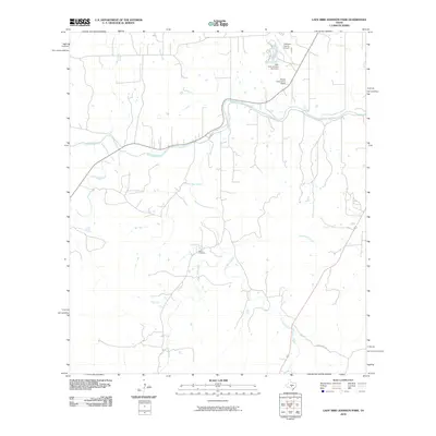
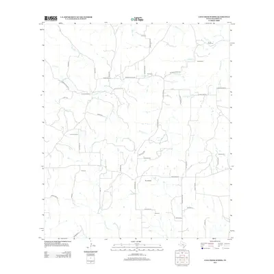
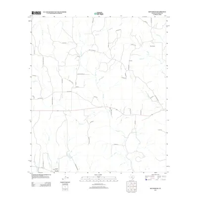
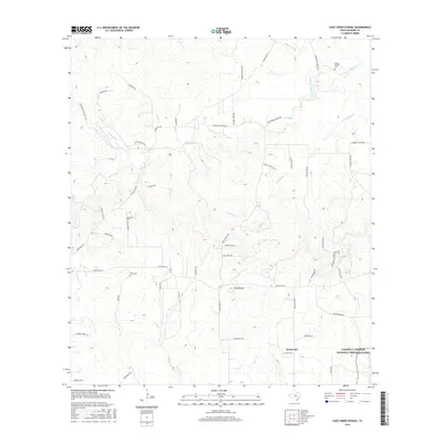
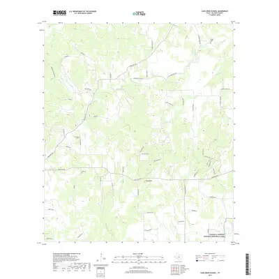
1961 Cave Creek School
Gillespie County, TX

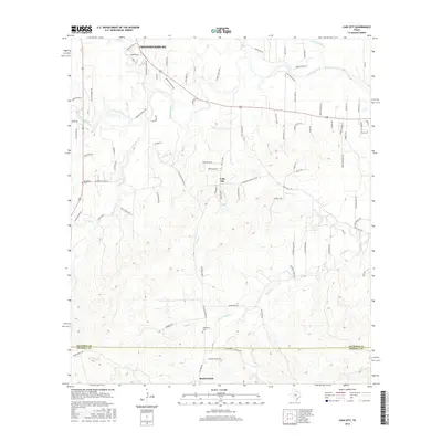
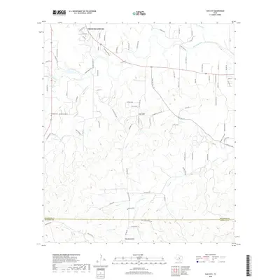
1963 Cain City
Gillespie County, TX
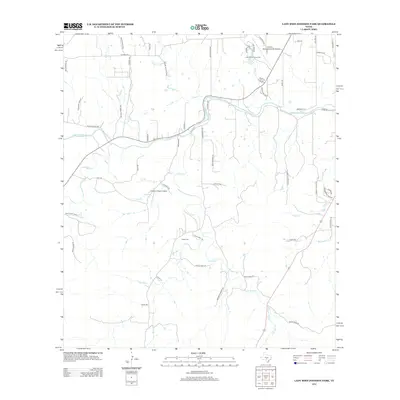
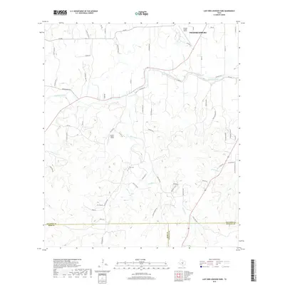
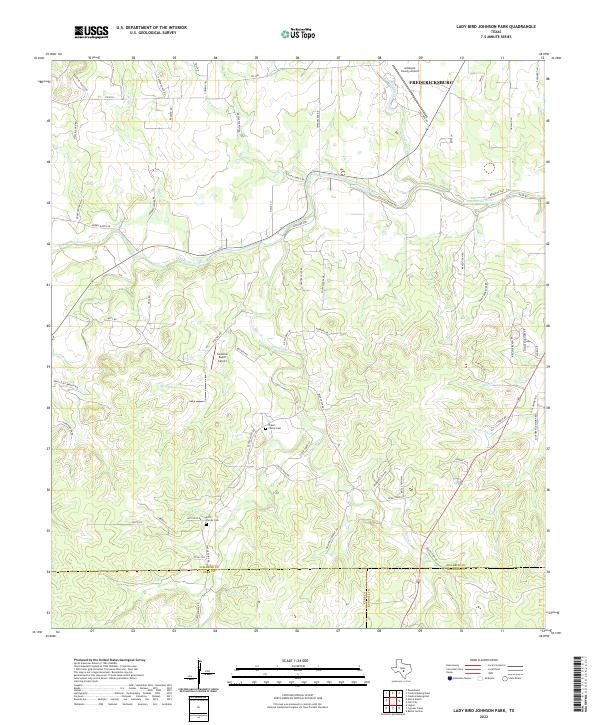
1964 Lady Bird Johnson Park
Gillespie County, TX
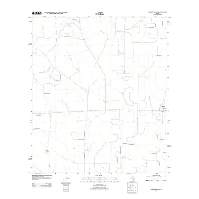
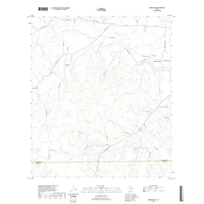
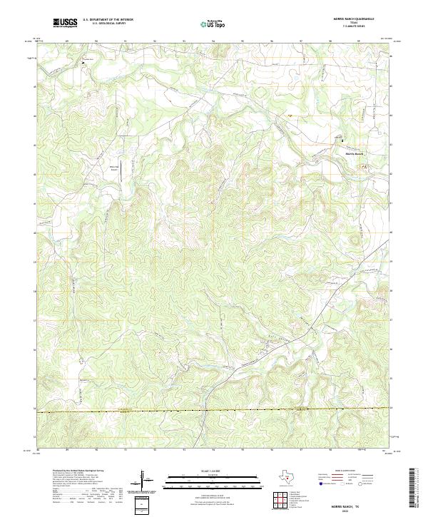
1964 Morris Ranch
Gillespie County, TX
1964 Nott Branch
Gillespie County, TX
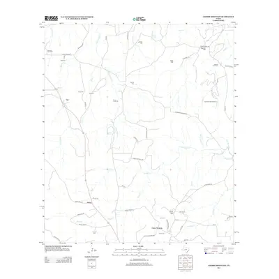
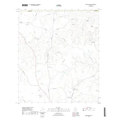
1967 Cherry Mountain
Gillespie County, TX
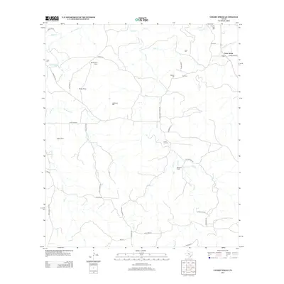
1967 Cherry Spring
Gillespie County, TX
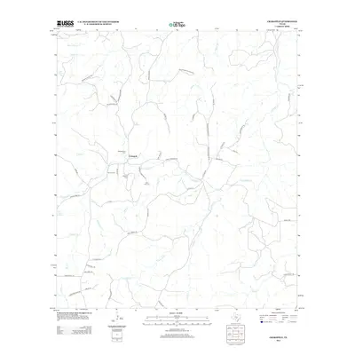
1967 Crabapple
Gillespie County, TX
1967 Doss
Gillespie County, TX
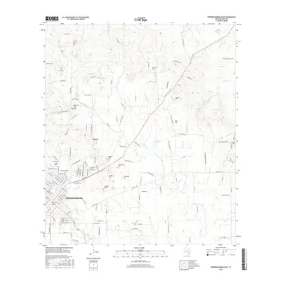
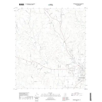
1967 Fredericksburg East
Gillespie County, TX
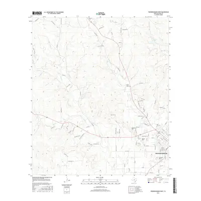
1967 Fredericksburg West
Gillespie County, TX
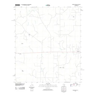
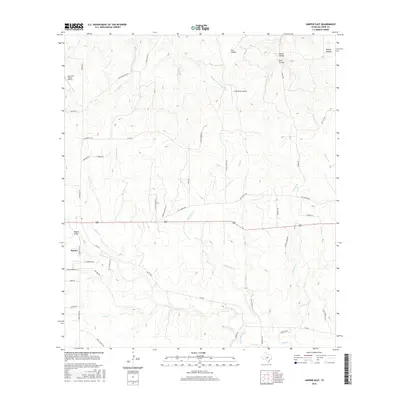
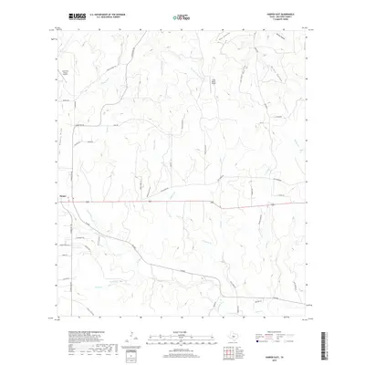
1967 Harper East
Gillespie County, TX
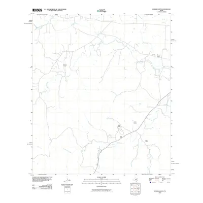
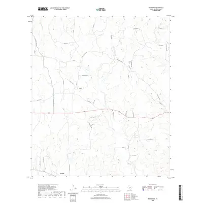
1967 Roundhead
Gillespie County, TX
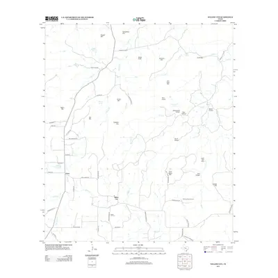
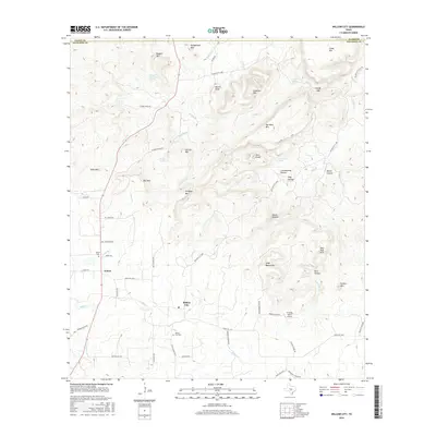
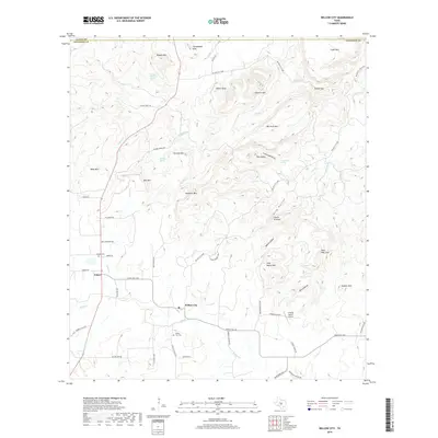
1967 Willow City
Gillespie County, TX
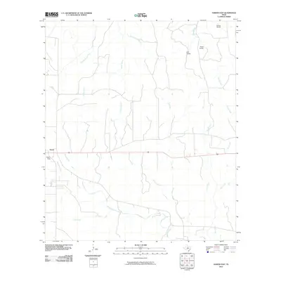
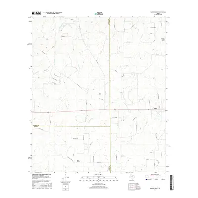
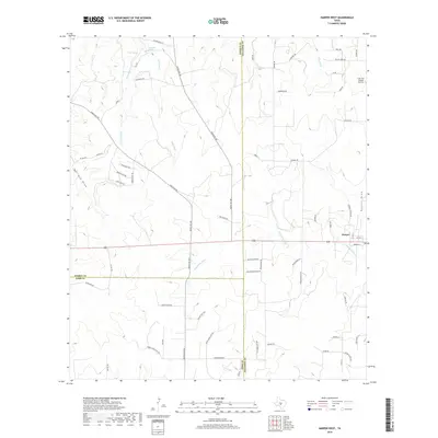
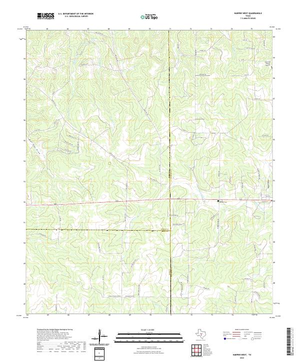
1974 Harper West
Gillespie County, TX
2010 Cain City
Gillespie County, TX
2010 Cave Creek School
Gillespie County, TX
2010 Cherry Mountain
Gillespie County, TX
2010 Cherry Spring
Gillespie County, TX
2010 Crabapple
Gillespie County, TX
2010 Doss
Gillespie County, TX
2010 Fredericksburg East
Gillespie County, TX
2010 Fredericksburg West
Gillespie County, TX
2010 Harper East
Gillespie County, TX
2010 Harper West
Gillespie County, TX
2010 Lady Bird Johnson Park
Gillespie County, TX
2010 Morris Ranch
Gillespie County, TX
2010 Nott Branch
Gillespie County, TX
2010 Roundhead
Gillespie County, TX
2010 Willow City
Gillespie County, TX
2012 Cain City
Gillespie County, TX
2012 Cave Creek School
Gillespie County, TX
2012 Cherry Mountain
Gillespie County, TX
2012 Cherry Spring
Gillespie County, TX
2012 Crabapple
Gillespie County, TX
2012 Doss
Gillespie County, TX
2012 Fredericksburg East
Gillespie County, TX
2012 Fredericksburg West
Gillespie County, TX
2012 Harper East
Gillespie County, TX
2012 Harper West
Gillespie County, TX
2012 Lady Bird Johnson Park
Gillespie County, TX
2012 Morris Ranch
Gillespie County, TX
2012 Nott Branch
Gillespie County, TX
2012 Roundhead
Gillespie County, TX
2012 Willow City
Gillespie County, TX
2016 Cain City
Gillespie County, TX
2016 Cave Creek School
Gillespie County, TX
2016 Cherry Mountain
Gillespie County, TX
2016 Cherry Spring
Gillespie County, TX
2016 Crabapple
Gillespie County, TX
2016 Doss
Gillespie County, TX
2016 Fredericksburg East
Gillespie County, TX
2016 Fredericksburg West
Gillespie County, TX
2016 Harper East
Gillespie County, TX
2016 Harper West
Gillespie County, TX
2016 Lady Bird Johnson Park
Gillespie County, TX
2016 Morris Ranch
Gillespie County, TX
2016 Nott Branch
Gillespie County, TX
2016 Roundhead
Gillespie County, TX
2016 Willow City
Gillespie County, TX
2019 Cain City
Gillespie County, TX
2019 Cave Creek School
Gillespie County, TX
2019 Cherry Mountain
Gillespie County, TX
2019 Cherry Spring
Gillespie County, TX
2019 Crabapple
Gillespie County, TX
2019 Doss
Gillespie County, TX
2019 Fredericksburg East
Gillespie County, TX
2019 Fredericksburg West
Gillespie County, TX
2019 Harper East
Gillespie County, TX
2019 Harper West
Gillespie County, TX
2019 Lady Bird Johnson Park
Gillespie County, TX
2019 Morris Ranch
Gillespie County, TX
2019 Nott Branch
Gillespie County, TX
2019 Roundhead
Gillespie County, TX
2019 Willow City
Gillespie County, TX
2022 Cain City
Gillespie County, TX
2022 Cave Creek School
Gillespie County, TX
2022 Cherry Mountain
Gillespie County, TX
2022 Crabapple
Gillespie County, TX
2022 Doss
Gillespie County, TX
2022 Fredericksburg East
Gillespie County, TX
2022 Fredericksburg West
Gillespie County, TX
2022 Harper East
Gillespie County, TX
2022 Harper West
Gillespie County, TX
2022 Lady Bird Johnson Park
Gillespie County, TX
2022 Morris Ranch
Gillespie County, TX
2022 Nott Branch
Gillespie County, TX
2022 Roundhead
Gillespie County, TX
2022 Willow City
Gillespie County, TX
2023 Cherry Spring
Gillespie County, TX