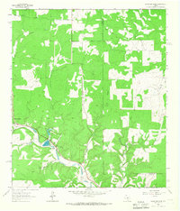
1964 Map of Mountain Home
USGS Topo · Published 1967About this map
Johnson Creek meanders through the Texas Hill Country in the mid-1960s, anchoring a landscape of wooded draws and seasonal watercourses. The small community of Mountain Home serves as a local hub, featuring a Po and proximity to the State Fish Hatchery located just south of Cedar Lake. For local history researchers, the map identifies significant social and spiritual landmarks such as Sunset Ch and the adjacent Sunset Cem.
Find a feature on this map
23 named features on this map. Tap any name to fly to it.
Don’t see what you’re looking for? This feature index may not catch every label — zoom into the map to look around manually.
Map Details
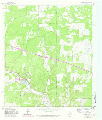
Editions of this 1964 Mountain Home Map
2 editions found
Other maps of this area

1894 · Kerrville
USGS Topo · 1:125,000

1954 · Llano
USGS Topo · 1:250,000

1955 · Llano
USGS Topo · 1:250,000

1956 · Llano
USGS Topo · 1:250,000

1964 · Nott Branch
USGS Topo · 1:24,000
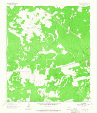
1964 · Contrary Creek
USGS Topo · 1:24,000
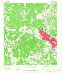
1964 · Kerrville
USGS Topo · 1:24,000
1964 · Bee Caves Creek
USGS Topo · 1:24,000
1964 · Hunt
USGS Topo · 1:24,000
1967 · Harper East
USGS Topo · 1:24,000