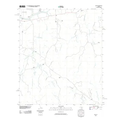
2010 Map of Hye
USGS Topo · Published 2010About this map
The Pedernales River flows across the northern reaches of this Hill Country landscape, defining a corridor of historic Texas ranchlands and political history. This area includes the famous LBJ Ranch and the Johnson Cemetery, alongside the small unincorporated communities of Hye and Albert. The settlement pattern is characterized by large family holdings and established agricultural estates, such as the Wilke Ranch, Schumann Ranch, and Bauer Ranch.
Find a feature on this map
50 named features on this map. Tap any name to fly to it.
Don’t see what you’re looking for? This feature index may not catch every label — zoom into the map to look around manually.
Map Details
Editions of this 2010 Hye Map
This is the sole edition of this map. No revisions or reprints were ever made.
Other maps of this area

1887 · Blanco
USGS Topo · 1:125,000

1894 · Fredericksburg
USGS Topo · 1:125,000

1894 · Blanco
USGS Topo · 1:125,000

1954 · Llano
USGS Topo · 1:250,000

1955 · Llano
USGS Topo · 1:250,000

1956 · Llano
USGS Topo · 1:250,000

1961 · Stonewall
USGS Topo · 1:24,000

1961 · Hye
USGS Topo · 1:24,000

1961 · Cave Creek School
USGS Topo · 1:24,000

1961 · Rocky Creek
USGS Topo · 1:24,000