
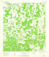
1961 Map of Hye
USGS Topo · Published 1962About this map
The Pedernales River winds through this central Texas landscape, anchoring a rural community defined by family ranching and early educational outposts. At the northern edge, the LBJ Ranch and the Old Junction School (Historical) highlight the local significance of the region, while the small settlement of Hye serves as a central point along Route 290. The map reveals a high density of rural schools and community centers, including Pleasant Valley Sch and Becky Sch, suggesting a once-active network of localized school districts. Numerous family-named homesteads such as Bauer Ranch, Mayer Ranch, and Schumann Ranch are scattered across the terrain, reflecting the long-standing agricultural heritage of the Gillespie and Blanco County line. Water features like Williamson Creek and the East Fork define the drainage patterns that shaped the placement of these early Texas settlements.
Find a feature on this map
49 named features on this map. Tap any name to fly to it.
Don’t see what you’re looking for? This feature index may not catch every label — zoom into the map to look around manually.
Map Details
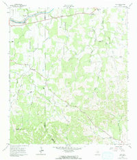
Editions of this 1961 Hye Map
3 editions found
Other maps of this area

1887 · Blanco
USGS Topo · 1:125,000

1894 · Fredericksburg
USGS Topo · 1:125,000

1894 · Blanco
USGS Topo · 1:125,000

1954 · Llano
USGS Topo · 1:250,000

1955 · Llano
USGS Topo · 1:250,000

1956 · Llano
USGS Topo · 1:250,000

1961 · Stonewall
USGS Topo · 1:24,000

1961 · Cave Creek School
USGS Topo · 1:24,000

1961 · Rocky Creek
USGS Topo · 1:24,000
1961 · Johnson City
USGS Topo · 1:24,000