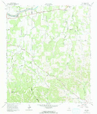
1961 Map of Hye
USGS Topo · Published 1964About this map
Pedernales River frontage and family-named ranch lands define this portion of the Texas Hill Country as it appeared in the early 1960s. The settlement of Hye serves as a focal point along the northern corridor, while the LBJ Ranch and Johnson Cem reflect the local heritage of the area. Further south, the map details the rural community infrastructure near Albert, including a network of named rangeland such as Wilke Ranch and Schumann Ranch.
Find a feature on this map
38 named features on this map. Tap any name to fly to it.
Don’t see what you’re looking for? This feature index may not catch every label — zoom into the map to look around manually.
Map Details
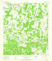
Editions of this 1961 Hye Map
3 editions found
Other maps of this area

1887 · Blanco
USGS Topo · 1:125,000

1894 · Fredericksburg
USGS Topo · 1:125,000

1894 · Blanco
USGS Topo · 1:125,000

1954 · Llano
USGS Topo · 1:250,000

1955 · Llano
USGS Topo · 1:250,000

1956 · Llano
USGS Topo · 1:250,000

1961 · Stonewall
USGS Topo · 1:24,000

1961 · Hye
USGS Topo · 1:24,000

1961 · Cave Creek School
USGS Topo · 1:24,000

1961 · Rocky Creek
USGS Topo · 1:24,000