
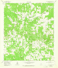
1961 Map of Cave Creek School
USGS Topo · Published 1962About this map
The agrarian landscape of Gillespie County is defined by a network of family ranches and rural institutions along the tributaries of Grape Creek. Central to this community in the early 1960s were the Cave Creek Sch and Rhinegold Sch, serving a population of scattered homesteads such as the Koennecke Ranch and Ruak Ranch. The presence of several family-named cemeteries, including the Rode Cem and Youngs Chapel Cem, provides significant value for genealogical research in this part of the Texas Hill Country. The terrain is marked by prominent elevations like Roundhead and various watercourses such as Ottmers Branch and Schumann Branch. Local transportation was facilitated by gravel and unimproved roads like Doublehorn Road and Gellermen Road, which connected these remote ranching outposts to larger regional hubs.
Find a feature on this map
32 named features on this map. Tap any name to fly to it.
Don’t see what you’re looking for? This feature index may not catch every label — zoom into the map to look around manually.
Map Details
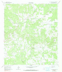
Editions of this 1961 Cave Creek School Map
Other maps of this area

1894 · Fredericksburg
USGS Topo · 1:125,000

1954 · Llano
USGS Topo · 1:250,000

1955 · Llano
USGS Topo · 1:250,000

1956 · Llano
USGS Topo · 1:250,000

1961 · Stonewall
USGS Topo · 1:24,000

1961 · Hye
USGS Topo · 1:24,000

1961 · Rocky Creek
USGS Topo · 1:24,000

1963 · Cain City
USGS Topo · 1:24,000

1967 · Fredericksburg East
USGS Topo · 1:24,000
1967 · Crabapple
USGS Topo · 1:24,000