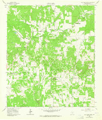
1961 Map of Cave Creek School
USGS Topo · Published 1964About this map
Gold Ranch and several other family-named estates like Ahrens Ranch and Koennecke Ranch dot the Gillespie County countryside in this early 1960s study. The landscape is defined by the winding paths of North Grape Creek and Cave Creek, which carve through the terrain south of the prominent Roundhead elevation.
Find a feature on this map
23 named features on this map. Tap any name to fly to it.
Don’t see what you’re looking for? This feature index may not catch every label — zoom into the map to look around manually.
Map Details
Editions of this 1961 Cave Creek School Map
Other maps of this area

1894 · Fredericksburg
USGS Topo · 1:125,000

1954 · Llano
USGS Topo · 1:250,000

1955 · Llano
USGS Topo · 1:250,000

1956 · Llano
USGS Topo · 1:250,000

1961 · Stonewall
USGS Topo · 1:24,000

1961 · Hye
USGS Topo · 1:24,000

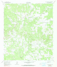
1961 · Cave Creek School
USGS Topo · 1:24,000

1961 · Rocky Creek
USGS Topo · 1:24,000

1963 · Cain City
USGS Topo · 1:24,000

1967 · Fredericksburg East
USGS Topo · 1:24,000