Old Maps of Comanche Crossing, Texas for Academic Research
Study the evolution of Comanche Crossing with 10 high-resolution historic maps. Whether you're teaching, researching, or modeling changes in land use, these maps provide essential visual documentation of urban, environmental, and geographic change.
- Analyze long-term change: Track patterns in development, transportation, and natural features.
- Ideal for environmental or urban studies: Support academic projects with primary historical map data.
- Use in the classroom or lab: Educators and researchers rely on these maps to bring historical context to life.
These maps are a powerful tool for teaching, research, and visualizing how Comanche Crossing has changed over the decades.
Comanche Crossing, TX maps
(10)- 1901 Map of Flatonia
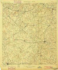 1901 Flatonia1901 Print · USGSCentral Texas at the turn of the century shows a landscape defined by the railroad and distinct ethnic communities. Trace family roots in the Bohemian Settlement or Negro Settlement, and locate early sites like Old Redrock and Old Flatonia.2 unique versions available
 - 1953 Map of Seguin, 1965 Print
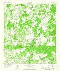
 1953 Seguin1965 Print · USGSSouth Texas in the early fifties shows a thriving river-and-rail economy across the Guadalupe and Colorado basins. Genealogists and historians can trace rail routes like the Southern Pacific through Seguin, locate oil wells, or find the Gary AAF near San Marcos.4 unique versions available
 - 1958 Map of Seguin
 1958 Seguin1958 Print · USGSSouth Texas in the late fifties was a network of river-valley settlements and active oilfields tied together by major rail lines. Genealogists and historians can trace family-named sites across Rabb Prairie, locate the Behring Store, or follow the Southern Pacific through Schulenburg.
 - 1962 Map of Dilworth, 1965 Print
 1962 Dilworth1965 Print · USGSSouth-central Texas ranching and farming lands appear here in the early 1960s, defined by the winding course of Peach Creek. Family historians can locate Little New York, St James Cemetery, and the Old Railroad Grade.2 unique versions available
 - 1985 Map of Seguin, 1986 Print
 1985 Seguin1986 Print · USGSCentral Texas in the mid-1980s is defined by its vital oil industry and the crossroads of major interstate and rail networks. Genealogists and historians can trace the development of Luling Oil Field, identify the site of Old Flatonia, or locate family landmarks near St James and Palmetto State Park.2 unique versions available
 - 2010 Map of Dilworth, 2010 Print
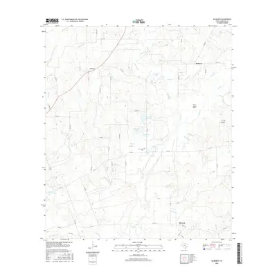
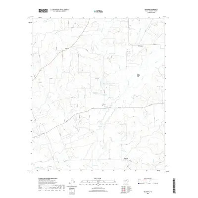
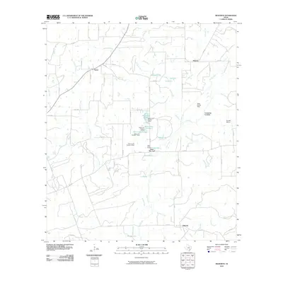 2010 Dilworth2010 Print · USGSCovers Comanche Crossing, including Little New York, Maurin, and other nearby areas
 - 2013 Map of Dilworth, 2013 Print
 2013 Dilworth2013 Print · USGSCovers Comanche Crossing, including Little New York, Maurin, and other nearby areas
 - 2016 Map of Dilworth, 2016 Print
 2016 Dilworth2016 Print · USGSCovers Comanche Crossing, including Little New York, Maurin, and other nearby areas
 - 2019 Map of Dilworth, 2019 Print
 2019 Dilworth2019 Print · USGSCovers Comanche Crossing, including Little New York, Maurin, and other nearby areas
 - 2022 Map of Dilworth, 2022 Print
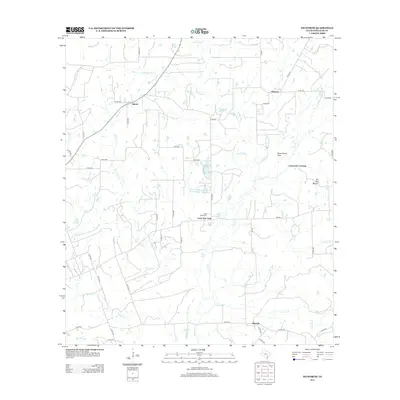
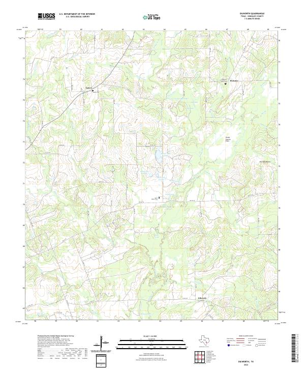 2022 Dilworth2022 Print · USGSGonzales County in the early twenty-first century remains a landscape of quiet rural settlements and ancestral burial grounds. Genealogists can locate family sites near Saturn Cemetery and Mount Eden Cemetery, or trace the winding course of Peach Creek through the Pettit Prairie Flats.
End of results
Showing maps 1-10 of 10
Top cities near Comanche Crossing
- Gonzales historical maps
- Shiner historical maps
- Flatonia historical maps
- Waelder historical maps
- Moulton historical maps
- Praha historical maps
Frequently asked questions
- What are the different types of historical maps available for Comanche Crossing?
- What is the oldest map of Comanche Crossing?
- Where can I purchase historical maps of Comanche Crossing for my home or office?
- Where can I download high-res historical maps of Comanche Crossing?
- Are there historical topographic maps available for Comanche Crossing?
- Is there historical aerial imagery available for Comanche Crossing?
- Where are historical maps of Comanche Crossing sourced from?