Old Maps of Gregg County, Texas for Genealogy
Trace your family roots with 85 historic maps of Gregg County. These high-res maps reveal old neighborhoods, homesites, landmarks, and streets — helping you uncover where your ancestors lived and how the area evolved over time.
- Explore historic neighborhoods: Identify where your relatives may have lived in the 1800s or 1900s.
- Compare maps over time: Trace the changes in streets, buildings, and landmarks for multi-generational research.
- Perfect for genealogy & ancestry research: Used by family historians and researchers to map out lineage and migration.
These maps are an incredible resource for exploring your personal connection to Gregg County's past.
Gregg County, TX maps
(85)- 1936 Map of Kilgore
 1936 Kilgore1936 Print · USGSThe East Texas Oil Field era is in full swing here in the mid-1930s, showing a landscape of rapid industrial and rural development. Genealogists can trace family ties at Leveretts Chapel Sch or Kilgore Cem, and locate vanished landmarks like Swamp City or the Gregg County Prison Farm.2 unique versions available
 - 1940 Map of Kilgore
 1940 Kilgore1940 Print · USGSKilgore and the surrounding oil fields come to life in this mid-century survey of the East Texas boom. Researchers can trace the layout of early energy settlements like Oil City and Swamp City alongside rural landmarks like Laird Hill Sch and Rock Springs Mission.2 unique versions available
 - 1956 Map of Tyler
 1956 Tyler1956 Print · USGSEast Texas was a powerhouse of oil production and rail transport during the mid-fifties, centered on the sprawling East Texas Oil Field. Researchers can trace the heritage of industrial hubs like Kilgore, military sites such as the Longhorn Ordnance Works, and many rural landmarks like Mount Enterprise.5 unique versions available
 - 1958 Map of Tatum, 1960 Print
 1958 Tatum1960 Print · USGSEast Texas in the late fifties is captured here as the industrial reach of Longview meets the rural landscapes of Rusk and Harrison counties. Genealogists and historians can trace the foundations of local communities at Lake Cherokee, Sweet Home Ch, and the Tatum Gas Field.4 unique versions available
 - 1960 Map of White Oak, 1962 Print
 1960 White Oak1962 Print · USGSMid-century East Texas reveals an economy driven by petroleum and the Texas and Pacific rail line. Researchers can trace company outposts like Amerada Camp or locate community centers like Sherman Chapel and Pine Tree Sch.3 unique versions available
 - 1960 Map of Glenwood, 1962 Print
 1960 Glenwood1962 Print · USGSEastern Upshur County is captured here at the height of its mid-century oil production. Researchers can trace rural lineages through family landmarks like Mattox Cem or locate community centers such as Valley View Sch and the Lake Providence Ch.2 unique versions available
 - 1960 Map of Gladewater, 1962 Print
 1960 Gladewater1962 Print · USGSEast Texas at the start of the 1960s reveals a landscape of oil production and rural communities centered on the Sabine River. Researchers can trace the Texas and Pacific rail line through Gladewater and locate local landmarks like the Edwards Cem and Warren City.2 unique versions available
 - 1962 Map of Ashland, 1964 Print
 1962 Ashland1964 Print · USGSNortheast Texas in the early sixties shows a landscape of timber and rising industry as new reservoirs took shape. Genealogists and historians can locate rural hubs like Ashland and Old Diana, along with several family landmarks including Jones Cem and Shady Grove Ch.2 unique versions available
 - 1962 Map of Longview Heights, 1964 Print
 1962 Longview Heights1964 Print · USGSEastern Harrison County is captured here during the early sixties as the city of Longview pushed into new residential additions. Researchers can trace the mid-century layout of Longview Heights, find old rural landmarks like Harleton Junction Station, or locate family sites at Grace Hill Cemetery.3 unique versions available
 - 1971 Map of Kilgore NE, 1974 Print
 1971 Kilgore NE1974 Print · USGSGregg County was a center of East Texas industry and community in the early seventies, dominated by the oil and rail networks of the day. Genealogists and historians can trace family roots through numerous sites like Utzman Cem, Kinsloe, and the Mary C Womack High Sch.2 unique versions available
 - 1971 Map of Kilgore SW, 1974 Print
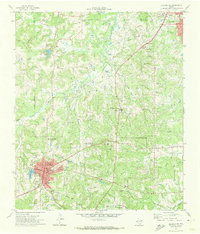 1971 Kilgore SW1974 Print · USGSThe industrial and academic character of Rusk County is on full display in the early seventies, centered on the oil and research facilities near Overton. Researchers can trace old family burial sites at Mt Comfort Cem and Florey Cem, or locate the historic Lincoln Sch among the local rail lines.
 - 1971 Map of Kilgore NW, 1974 Print
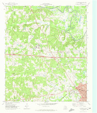 1971 Kilgore NW1974 Print · USGSEast Texas oil country comes into focus in the early seventies, spanning from the Sabine River down to the streets of Kilgore. Family historians can trace rural landmarks like Mt Pleasant Cem, Lincoln Springs Ch, and the old Missouri Pacific rail line.
 - 1971 Map of Kilgore SE, 1974 Print
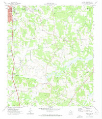 1971 Kilgore SE1974 Print · USGSEast Texas oil country is in full production during the early seventies, with industrial infrastructure woven into the rural Rusk County landscape. Genealogists and local historians can locate Crims Chapel, the Harmony Cem, and several schools like Chandler Sch.
 - 1983 Map of Tatum
 1983 Tatum1983 Print · USGSEast Texas at the start of the 1980s reveals a landscape where timber and water resources meet growing recreation. Researchers can trace rural lineages through local settlements like Harmony Hill and Mayflower or explore the lakeside development of Martin Lake.2 unique versions available
 - 1983 Map of Easton
 1983 Easton1983 Print · USGSEast Texas river life and rural settlement are captured in the early eighties as the Sabine River flows through Harrison and Gregg counties. Genealogists and local historians can trace the bottomland sloughs and landmarks like Easton, Hallsville, and the Hut Horton Duck Pond.
 - 1983 Map of Lakeport
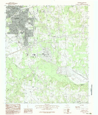 1983 Lakeport1983 Print · USGSGregg and Harrison Counties are captured in the early eighties as the urban footprint of Longview meets the winding Sabine River. Researchers can trace the original campus of Le Tourneau College or locate family sites near Lakeport, Gum Springs, and Lake Cherokee.2 unique versions available
 - 1983 Map of Elderville
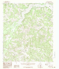 1983 Elderville1983 Print · USGSRusk and Gregg Counties are shown in the early eighties as rural life centered around the expansive Cherokee Lake. Genealogists and local historians can trace family-named areas like Chalk Hill, Oak Hill, and Stewart among the many winding creeks and lakefronts.2 unique versions available
 - 1984 Map of Tyler
 1984 Tyler1984 Print · USGSEast Texas at the peak of its reservoir-building era shows a landscape defined by new lakes and established rail corridors. Trace the path of the St Louis Southwestern RR or locate industrial sites like the Longhorn Ordnance Works.3 unique versions available
 - 1986 Map of Marshall
 1986 Marshall1986 Print · USGSEast Texas and the Louisiana borderlands are shown in the mid-1980s during a period of sustained industrial and energy production. Researchers can trace family roots through settlements like Ebenezer or study the impact of the Longhorn Army Ammunition Plant and Rodessa Oil Field.2 unique versions available
 - 1986 Map of Henderson
 1986 Henderson1986 Print · USGSEast Texas and the Louisiana borderlands come into focus in the 1980s as industrial energy production meets quiet rural townships. Researchers can trace family sites and local landmarks from Elysian Fields to Old Panola, alongside major features like the Strip Mine and Martin Lake State Park.2 unique versions available
 - 2010 Map of Tatum, 2010 Print
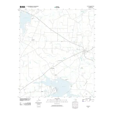 2010 Tatum2010 Print · USGSEast Texas at the end of the first decade of the 2000s shows a landscape shaped by large reservoirs and energy production near Tatum. Researchers can trace local lineage and land use through features like Harmony Hill Cemetery and the Tatum Gas Field.
 - 2010 Map of Kilgore SE, 2010 Print
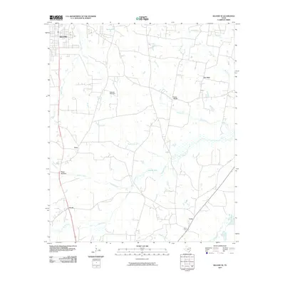 2010 Kilgore SE2010 Print · USGSSoutheast of Kilgore in the early twenty-first century, this East Texas landscape reveals a complex network of bayous and rural junctions. Genealogists and local historians can trace family-named locations such as Pitner Junction, Crims Chapel, and the community of New Hope.
 - 2010 Map of Kilgore NW, 2010 Print
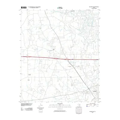 2010 Kilgore NW2010 Print · USGSEast Texas at the start of the 2010s shows a landscape of riverine wetlands and growing rural communities near the Sabine River. Trace local family history at Strong Memorial Cemetery or explore the geography around Goodman Mountain.
 - 2010 Map of Elderville, 2010 Print
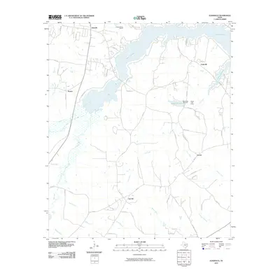 2010 Elderville2010 Print · USGSRusk County at the start of the decade reveals a landscape where Lake Cherokee and its many feeder creeks shape the local geography. Researchers can trace rural settlement patterns around Elderville, Stewart, and the aviation footprint of the Gregg County Airport.
 - 2010 Map of Lakeport, 2010 Print
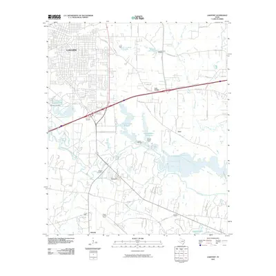 2010 Lakeport2010 Print · USGSLongview and its southeastern suburbs meet the Sabine River at the start of the 2010s, showing a landscape of aviation and infrastructure. Trace family history at Post Oak Cemetery or study the development around Gregg County Airport and Lakeport.
Showing maps 1-25 of 85
Top cities of Gregg County
- Longview historical maps
- Kilgore historical maps
- White Oak historical maps
- Liberty City historical maps
- Lakeport historical maps
Frequently asked questions
- What are the different types of historical maps available for Gregg County?
- What is the oldest map of Gregg County?
- Where can I purchase historical maps of Gregg County for my home or office?
- Where can I download high-res historical maps of Gregg County?
- Are there historical topographic maps available for Gregg County?
- Is there historical aerial imagery available for Gregg County?
- Where are historical maps of Gregg County sourced from?