Old Maps of Lesley, Texas for Hiking & Exploration
Hike through history with 11 historic maps of Lesley. Explore old trails, ghost towns, and forgotten backroads — perfect for outdoor adventurers and local explorers.
- Rediscover forgotten places: Map out old mining camps, roads, and footpaths that no longer exist on modern maps.
- Layer with modern tools: Combine with LiDAR or satellite views to plan hikes through historical terrain.
- Made for exploration: Popular among hikers, overlanders, and local history lovers.
Use these maps to find adventure and explore the hidden past of Lesley.
Lesley, TX maps
(11)- 1954 Map of Plainview, 1966 Print
 1954 Plainview1966 Print · USGSThe Texas Panhandle and the rugged Caprock Escarpment appear in detail as the region's agricultural and rail networks reached their mid-century peak. Trace family roots and old land patterns through the canyons and plains near Plainview, Palo Duro State Park, and Childress.3 unique versions available
 - 1958 Map of Plainview
 1958 Plainview1958 Print · USGSThe High Plains and Caprock Escarpment meet in the late fifties, showcasing the ranching and rail networks of the Texas Panhandle. Trace family roots and vanished stops along the Panhandle and Santa Fe railroad through Plainview, Silverton, and Matador.
 - 1960 Map of Brice, 1963 Print
 1960 Brice1963 Print · USGSHall County ranching and the rugged breaks of the Red River are documented here in the early sixties. Genealogists and historians can trace family landholdings like Shoe Bar Ranch and locate the Hickman Sch or the remote Oxbow Ranch.
 - 1976 Map of Brice NE, 1978 Print
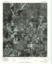 1976 Brice NE1978 Print · USGSHall County farmland and rural drainage are revealed in this mid-seventies aerial survey of the Texas Panhandle. Genealogists and historians can pinpoint rural homesites near Lesley and trace the shoreline of Hancock Lake.
 - 1985 Map of Lesley
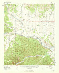
 1985 Lesley1985 Print · USGSThe Texas Panhandle in the mid-eighties shows a landscape of deep creek breaks and isolated windmills near the Hall-Donley line. Researchers can trace the community of Lesley, the local Cem, and small water features like Finger Lake and Handcock Lake.
 - 1986 Map of Wellington
 1986 Wellington1986 Print · USGSThe Texas Panhandle in the 1980s shows a landscape of cattle ranching and rail-dependent towns along the Burlington Northern. Trace family history and local industry through locations like the Citizens Cem, Greenbelt Reservoir, and Mc Knight.2 unique versions available
 - 2010 Map of Lesley, 2010 Print
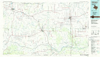
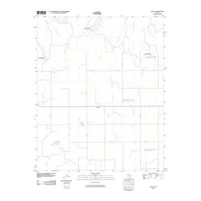 2010 Lesley2010 Print · USGSCovers Lesley, including Hall County, Donley County, and other nearby areas
 - 2013 Map of Lesley, 2013 Print
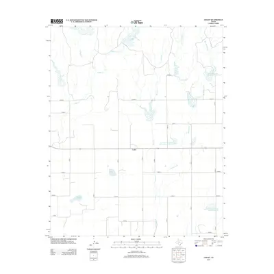 2013 Lesley2013 Print · USGSCovers Lesley, including Hall County, Donley County, and other nearby areas
 - 2016 Map of Lesley, 2016 Print
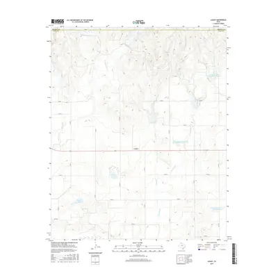 2016 Lesley2016 Print · USGSCovers Lesley, including Hall County, Donley County, and other nearby areas
 - 2019 Map of Lesley, 2019 Print
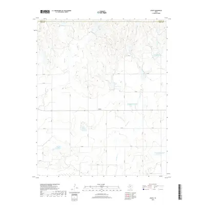 2019 Lesley2019 Print · USGSCovers Lesley, including Hall County, Donley County, and other nearby areas
 - 2022 Map of Lesley, 2022 Print
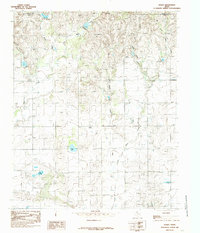
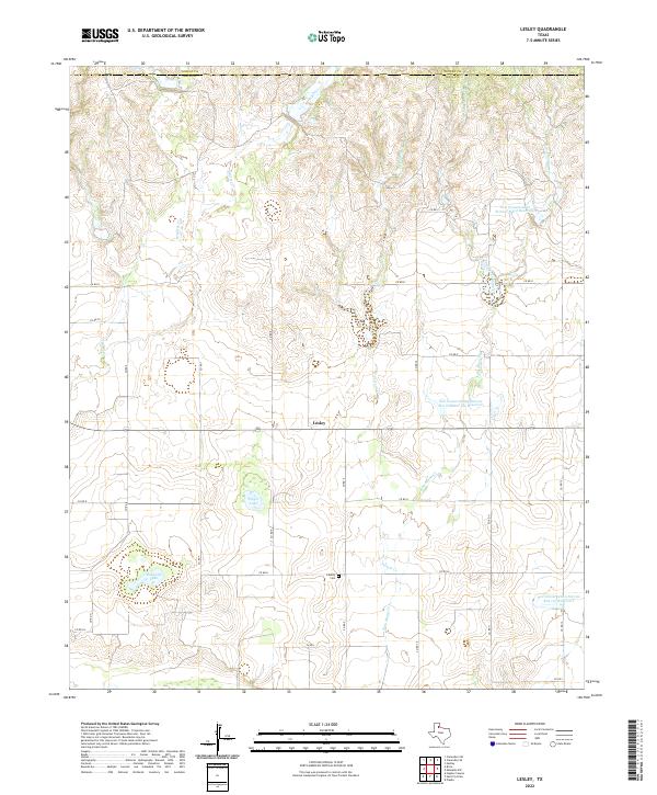 2022 Lesley2022 Print · USGSThe Texas Panhandle's ranching country comes into focus in this recent survey of the Hall County and Donley County border. Researchers can trace local landmarks like Liberty Cem, the settlement of Lesley, and various water features like Hancock Lake.
End of results
Showing maps 1-11 of 11
Top cities near Lesley
Frequently asked questions
- What are the different types of historical maps available for Lesley?
- What is the oldest map of Lesley?
- Where can I purchase historical maps of Lesley for my home or office?
- Where can I download high-res historical maps of Lesley?
- Are there historical topographic maps available for Lesley?
- Is there historical aerial imagery available for Lesley?
- Where are historical maps of Lesley sourced from?