Old Maps of Phillips Camp, Texas for Genealogy
Trace your family roots with 9 historic maps of Phillips Camp. These high-res maps reveal old neighborhoods, homesites, landmarks, and streets — helping you uncover where your ancestors lived and how the area evolved over time.
- Explore historic neighborhoods: Identify where your relatives may have lived in the 1800s or 1900s.
- Compare maps over time: Trace the changes in streets, buildings, and landmarks for multi-generational research.
- Perfect for genealogy & ancestry research: Used by family historians and researchers to map out lineage and migration.
These maps are an incredible resource for exploring your personal connection to Phillips Camp's past.
Phillips Camp, TX maps
(9)- 1954 Map of Perryton, 1966 Print
 1954 Perryton1966 Print · USGSThe High Plains of the Texas and Oklahoma panhandles are shown during a period of steady growth in the mid-1950s. Genealogists and researchers can trace rail history and local landmarks like Panhandle A & M College, Spurlock Chapel, and the isolated Lord Station.3 unique versions available
 - 1958 Map of Perryton
 1958 Perryton1958 Print · USGSThe Oklahoma Panhandle and Texas borderlands come alive in this mid-century survey, showing the vital rail-and-ranch economy of the High Plains. Researchers can trace historic stops along the Chicago Rock Island and Pacific and locate rural landmarks like Bethel Church and Spurlock Chapel.
 - 1974 Map of Phillips Camp, 1977 Print
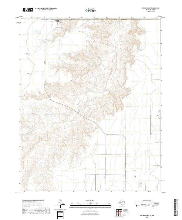
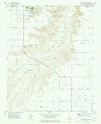 1974 Phillips Camp1977 Print · USGSHansford County, Texas, is captured in the mid-1970s as a bustling hub of energy extraction and transport near the Oklahoma border. Researchers can trace the extensive pipeline network serving Phillips Camp or locate a Gravel Pit along the banks of Coldwater Creek.
 - 1986 Map of Spearman, 1988 Print
 1986 Spearman1988 Print · USGSThe northern Texas Panhandle and Oklahoma border are seen here in the mid-1980s as a landscape of energy production and ranching. Trace local genealogy and land use across the oil and gas field or through settlements like Spearman, Texhoma, and Gruver.
 - 2010 Map of Phillips Camp, 2010 Print
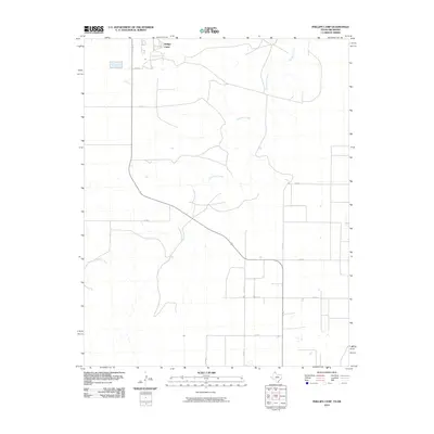 2010 Phillips Camp2010 Print · USGSCovers Phillips Camp, including Texas County, Hansford County, and other nearby areas
 - 2012 Map of Phillips Camp, 2012 Print
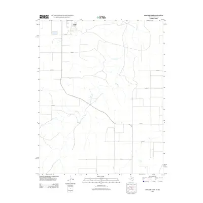 2012 Phillips Camp2012 Print · USGSCovers Phillips Camp, including Texas County, Hansford County, and other nearby areas
 - 2016 Map of Phillips Camp, 2016 Print
 2016 Phillips Camp2016 Print · USGSCovers Phillips Camp, including Texas County, Hansford County, and other nearby areas
 - 2019 Map of Phillips Camp, 2019 Print
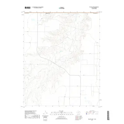 2019 Phillips Camp2019 Print · USGSCovers Phillips Camp, including Texas County, Hansford County, and other nearby areas
 - 2022 Map of Phillips Camp, 2022 Print
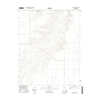
 2022 Phillips Camp2022 Print · USGSHansford County in the modern era reveals the intersection of industrial agriculture and the carved breaks of Coldwater Creek. Trace the layout of the northern Panhandle landscape from Phillips Camp to the network of local routes like County Road 9.
End of results
Showing maps 1-9 of 9
Top cities near Phillips Camp
Frequently asked questions
- What are the different types of historical maps available for Phillips Camp?
- What is the oldest map of Phillips Camp?
- Where can I purchase historical maps of Phillips Camp for my home or office?
- Where can I download high-res historical maps of Phillips Camp?
- Are there historical topographic maps available for Phillips Camp?
- Is there historical aerial imagery available for Phillips Camp?
- Where are historical maps of Phillips Camp sourced from?