Old Maps of Sour Lake, Texas for Genealogy
Trace your family roots with 17 historic maps of Sour Lake. These high-res maps reveal old neighborhoods, homesites, landmarks, and streets — helping you uncover where your ancestors lived and how the area evolved over time.
- Explore historic neighborhoods: Identify where your relatives may have lived in the 1800s or 1900s.
- Compare maps over time: Trace the changes in streets, buildings, and landmarks for multi-generational research.
- Perfect for genealogy & ancestry research: Used by family historians and researchers to map out lineage and migration.
These maps are an incredible resource for exploring your personal connection to Sour Lake's past.
Sour Lake, TX maps
(17)- 1954 Map of Beaumont, 1964 Print
 1954 Beaumont1964 Print · USGSSoutheast Texas in the mid-fifties reveals a landscape of massive national forests, emerging reservoirs, and a booming oil economy. Genealogists and researchers can trace rural settlements like Dallardsville and Village Mills or locate early drilling sites at Sour Lake Oil Field.3 unique versions available
 - 1955 Map of Sour Lake, 1956 Print
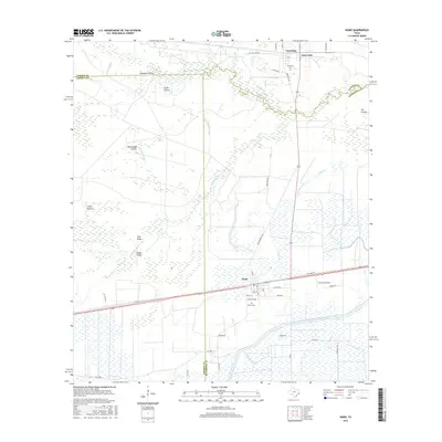
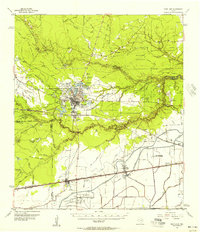 1955 Sour Lake1956 Print · USGSCoastal Texas prairies and oil fields are captured here in the mid-1950s as petroleum production shaped the local economy. Genealogists can locate family landmarks like Pine Ridge Ch, Henderson Sch, and the Grayburg Cem along the old rail lines.2 unique versions available
 - 1957 Map of Beaumont
 1957 Beaumont1957 Print · USGSSoutheast Texas in the mid-fifties is defined by the timber-rich lands between the Trinity River and Beaumont. Trace the history of the Alabama and Coushatti Indian Reservation or locate early campus sites like Prairie View College.
 - 1984 Map of Beaumont
 1984 Beaumont1984 Print · USGSSoutheast Texas in the late seventies and early eighties shows a landscape of expanding reservoirs and deep timber industry. Researchers can trace the development of the Sam Houston National Forest or locate regional landmarks like Grabbs Prairie and the Wynne State Prison Farm.3 unique versions available
 - 1984 Map of Nome, 1985 Print
 1984 Nome1985 Print · USGSThe Jefferson and Hardin county line comes alive in the mid-1970s, showing a landscape of coastal prairies and rail-side settlements. Genealogists and local researchers can trace the roads around Nome and Grayburg or locate landmarks like the Southern Pacific line and Swift Prairie.
 - 1984 Map of Sour Lake, 1985 Print
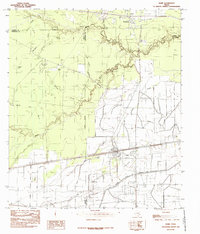
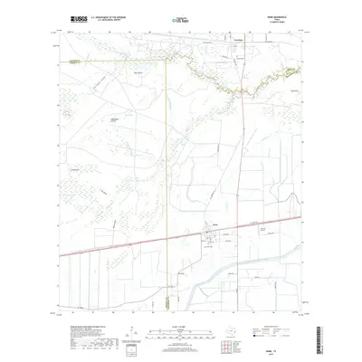
 1984 Sour Lake1985 Print · USGSSoutheast Texas petroleum and prairie life are captured here in the mid-seventies, showing the industrial core of Sour Lake and Grayburg. Researchers can map out the extensive Oil Field operations, the borders of the Big Thicket National Preserve, and local landmarks like Pelt Prairie and Bud Crossing.2 unique versions available
 - 1986 Map of Beaumont
 1986 Beaumont1986 Print · USGSThe East Texas piney woods and coastal prairies are captured here in the mid-eighties, a period of established energy production and conservation. Researchers can trace the industrial footprint of the Oil and Gas Field near Daisetta and Batson, or locate family sites at Graveyard Hill Cem.
 - 2010 Map of Sour Lake, 2010 Print
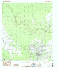
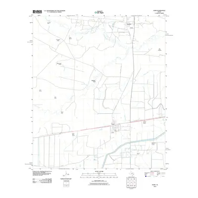
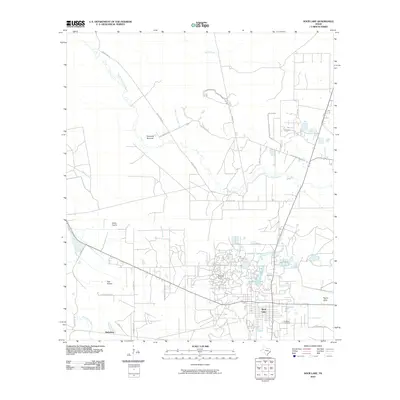 2010 Sour Lake2010 Print · USGSCovers Sour Lake, including Hathaway, Hardin County, and other nearby areas
 - 2010 Map of Nome, 2010 Print
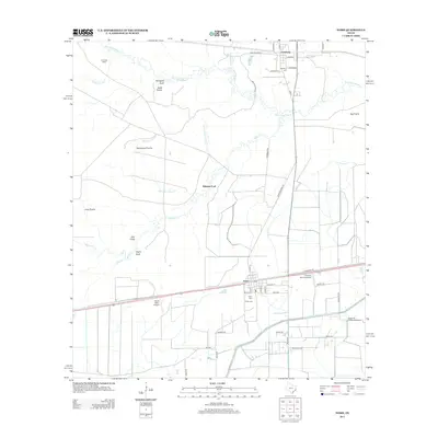
 2010 Nome2010 Print · USGSCovers Sour Lake, including Nome, Whiskey Ford, and other nearby areas
 - 2013 Map of Nome, 2013 Print
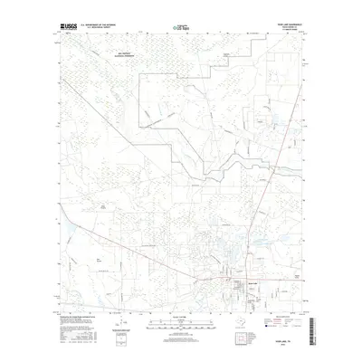
 2013 Nome2013 Print · USGSCovers Sour Lake, including Nome, Whiskey Ford, and other nearby areas
 - 2013 Map of Sour Lake, 2013 Print
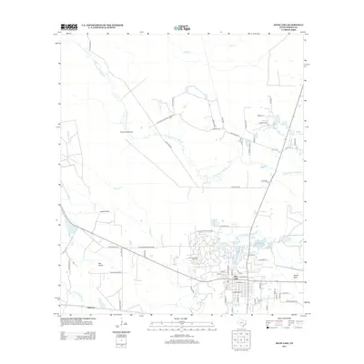 2013 Sour Lake2013 Print · USGSCovers Sour Lake, including Hathaway, Hardin County, and other nearby areas
 - 2016 Map of Sour Lake, 2016 Print
 2016 Sour Lake2016 Print · USGSCovers Sour Lake, including Hathaway, Hardin County, and other nearby areas
 - 2016 Map of Nome, 2016 Print
 2016 Nome2016 Print · USGSCovers Sour Lake, including Nome, Whiskey Ford, and other nearby areas
 - 2019 Map of Nome, 2019 Print
 2019 Nome2019 Print · USGSCovers Sour Lake, including Nome, Whiskey Ford, and other nearby areas
 - 2019 Map of Sour Lake, 2019 Print
 2019 Sour Lake2019 Print · USGSCovers Sour Lake, including Hathaway, Hardin County, and other nearby areas
 - 2022 Map of Sour Lake, 2022 Print
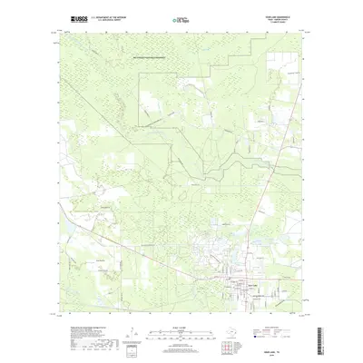
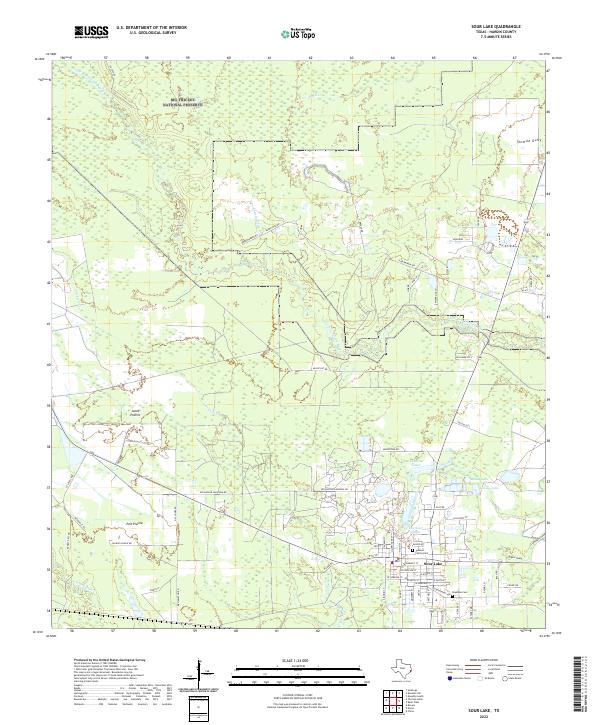 2022 Sour Lake2022 Print · USGSSour Lake and the surrounding Hardin County timberlands are shown here in the early twenty-first century. Genealogists and local historians can trace property lines near Pelt Prairie, locate the Jackson Family Cem, and follow the winding path of Pine Island Bayou.
 - 2022 Map of Nome, 2022 Print
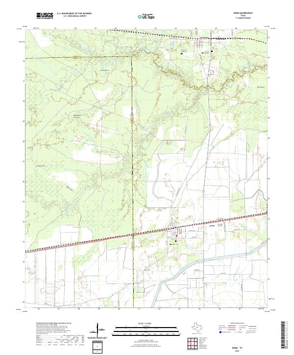 2022 Nome2022 Print · USGSCoastal Texas prairies and bayous define this landscape at the intersection of Hardin and Jefferson counties. Researchers can trace family history through several burial grounds, including Grayburg Black Cem and Pivoto Cem, or locate landmarks like the Farm Air Service.
End of results
Showing maps 1-17 of 17
Top cities near Sour Lake
- Beaumont historical maps
- Lumberton historical maps
- Silsbee historical maps
- Kountze historical maps
- Bevil Oaks historical maps
- Daisetta historical maps
See more
Frequently asked questions
- What are the different types of historical maps available for Sour Lake?
- What is the oldest map of Sour Lake?
- Where can I purchase historical maps of Sour Lake for my home or office?
- Where can I download high-res historical maps of Sour Lake?
- Are there historical topographic maps available for Sour Lake?
- Is there historical aerial imagery available for Sour Lake?
- Where are historical maps of Sour Lake sourced from?