Old Maps of Elysian Fields, Texas for Academic Research
Study the evolution of Elysian Fields with 11 high-resolution historic maps. Whether you're teaching, researching, or modeling changes in land use, these maps provide essential visual documentation of urban, environmental, and geographic change.
- Analyze long-term change: Track patterns in development, transportation, and natural features.
- Ideal for environmental or urban studies: Support academic projects with primary historical map data.
- Use in the classroom or lab: Educators and researchers rely on these maps to bring historical context to life.
These maps are a powerful tool for teaching, research, and visualizing how Elysian Fields has changed over the decades.
Elysian Fields, TX maps
(11)- 1943 Map of Waskom, 1954 Print
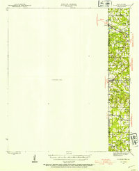 1943 Waskom1954 Print · USGSThe Texas-Louisiana borderlands in the 1940s were a network of rural schools and rail-side settlements. Genealogists can trace family footprints through numerous sites like Union Chapel, Richmond Sch, and Forest Park Cem along the interstate line.
 - 1945 Map of Waskom
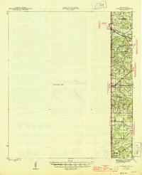 1945 Waskom1945 Print · USGSThe Texas-Louisiana borderlands come into focus during the mid-1940s as rail and road networks began to reshape rural Harrison and Panola counties. Genealogists can trace family landmarks like Forest Park Cem, Union Chapel, and numerous schools including Waco Sch and Liberty Sch.
 - 1956 Map of Tyler
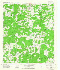
 1956 Tyler1956 Print · USGSEast Texas was a powerhouse of oil production and rail transport during the mid-fifties, centered on the sprawling East Texas Oil Field. Researchers can trace the heritage of industrial hubs like Kilgore, military sites such as the Longhorn Ordnance Works, and many rural landmarks like Mount Enterprise.5 unique versions available
 - 1962 Map of De Berry, 1964 Print
 1962 De Berry1964 Print · USGSPanola and Harrison counties at the dawn of the 1960s reveal a landscape of rural congregations and a growing energy sector. Genealogists can trace family sites at Evergreen Cem and Woodley Cem or locate the old Mims Chapel and Wayside Ch.
 - 1984 Map of Tyler
 1984 Tyler1984 Print · USGSEast Texas at the peak of its reservoir-building era shows a landscape defined by new lakes and established rail corridors. Trace the path of the St Louis Southwestern RR or locate industrial sites like the Longhorn Ordnance Works.3 unique versions available
 - 1986 Map of Henderson
 1986 Henderson1986 Print · USGSEast Texas and the Louisiana borderlands come into focus in the 1980s as industrial energy production meets quiet rural townships. Researchers can trace family sites and local landmarks from Elysian Fields to Old Panola, alongside major features like the Strip Mine and Martin Lake State Park.2 unique versions available
 - 2010 Map of De Berry, 2010 Print
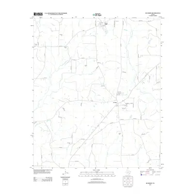
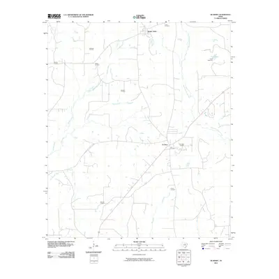 2010 De Berry2010 Print · USGSCovers Elysian Fields, including De Berry, Harrison County, and other nearby areas
 - 2013 Map of De Berry, 2013 Print
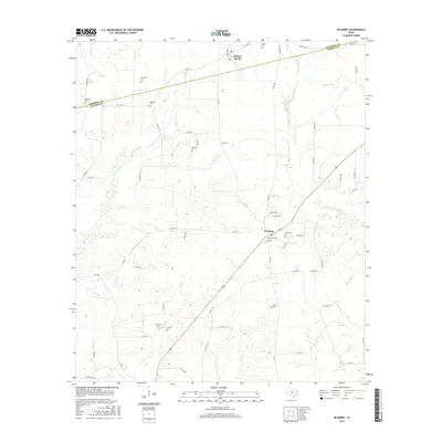
 2013 De Berry2013 Print · USGSCovers Elysian Fields, including De Berry, Harrison County, and other nearby areas
 - 2016 Map of De Berry, 2016 Print
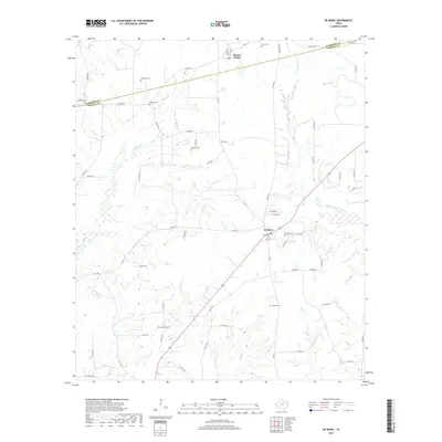
 2016 De Berry2016 Print · USGSCovers Elysian Fields, including De Berry, Harrison County, and other nearby areas
 - 2019 Map of De Berry, 2019 Print
 2019 De Berry2019 Print · USGSCovers Elysian Fields, including De Berry, Harrison County, and other nearby areas
 - 2022 Map of De Berry, 2022 Print
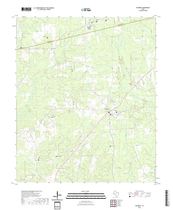 2022 De Berry2022 Print · USGSThe borderlands of Panola and Harrison Counties are mapped here in the early 2020s, showing a landscape of deep family roots and creek-side settlements. Genealogists can locate numerous burial sites including Harkrider Cemetery, Ingram Cemetery, and De Berry Cemetery.
End of results
Showing maps 1-11 of 11
Top cities near Elysian Fields
- Marshall historical maps
- Carthage historical maps
- Greenwood historical maps
- Waskom historical maps
- Scottsville historical maps
Frequently asked questions
- What are the different types of historical maps available for Elysian Fields?
- What is the oldest map of Elysian Fields?
- Where can I purchase historical maps of Elysian Fields for my home or office?
- Where can I download high-res historical maps of Elysian Fields?
- Are there historical topographic maps available for Elysian Fields?
- Is there historical aerial imagery available for Elysian Fields?
- Where are historical maps of Elysian Fields sourced from?