
1962 Map of De Berry
USGS Topo · Published 1964About this map
Elysian Fields and the community of De Berry anchor this East Texas landscape, where the Harrison Co Panola Co boundary crosses a terrain defined by small settlements and numerous family cemeteries. The area is heavily marked by the energy economy of the early 1960s, with a dense network of pipelines and gas wells crisscrossing the woodlands between Jackson Creek and Socagee Creek.
Find a feature on this map
35 named features on this map. Tap any name to fly to it.
Don’t see what you’re looking for? This feature index may not catch every label — zoom into the map to look around manually.
Map Details
Editions of this 1962 De Berry Map
This is the sole edition of this map. No revisions or reprints were ever made.
Other maps of this area

1943 · Waskom
USGS Topo · 1:62,500

1945 · Waskom
USGS Topo · 1:62,500

1945 · Socagee Bayou
USGS Topo · 1:62,500

1956 · Tyler
USGS Topo · 1:250,000

1956 · Deadwood
USGS Topo · 1:62,500

1958 · Darco
USGS Topo · 1:62,500

1958 · Carthage
USGS Topo · 1:62,500

1962 · Stricklin Springs
USGS Topo · 1:24,000
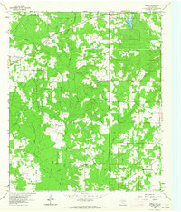
1962 · Panola
USGS Topo · 1:24,000
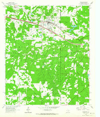
1962 · Waskom
USGS Topo · 1:24,000