Old Maps of Castle Forest, San Marcos for Metal Detecting
Plan your next treasure hunt with 12 historic maps of Castle Forest. Find old homesites, ghost towns, trails, and gathering spots that may be lost to time — perfect for identifying promising metal detecting locations.
- Locate forgotten sites: Uncover places like long-lost settlements, abandoned rail lines, or gathering spots.
- Plan better hunts: Use map overlays combined with LiDAR or satellite views to narrow in on historically rich areas.
- Made for detectorists: Thousands of hobbyists use these maps to discover relics, coins, and hidden history.
Use these historic maps to boost your research and find new opportunities beneath the surface of Castle Forest.
Castle Forest, San Marcos maps
(12)- 1911 Map of San Marcos
 1911 San Marcos1911 Print · USGSCentral Texas at the peak of the railroad era shows a landscape of small farming communities and country schools. Genealogists can trace family footprints across Comanche Flat or locate long-gone sites like Highpoint School and Bethany Church.2 unique versions available
 - 1919 Map of San Marcos
 1919 San Marcos1919 Print · USGSTexas at the close of the Great War was a landscape of river-fed farms and emerging rail corridors between San Marcos and Lockhart. Genealogists can trace family footprints through numerous rural landmarks like Clark Chapel, High Prairie School, and Larremore.
 - 1953 Map of Seguin, 1965 Print
 1953 Seguin1965 Print · USGSSouth Texas in the early fifties shows a thriving river-and-rail economy across the Guadalupe and Colorado basins. Genealogists and historians can trace rail routes like the Southern Pacific through Seguin, locate oil wells, or find the Gary AAF near San Marcos.4 unique versions available
 - 1958 Map of Seguin
 1958 Seguin1958 Print · USGSSouth Texas in the late fifties was a network of river-valley settlements and active oilfields tied together by major rail lines. Genealogists and historians can trace family-named sites across Rabb Prairie, locate the Behring Store, or follow the Southern Pacific through Schulenburg.
 - 1964 Map of San Marcos North, 1966 Print
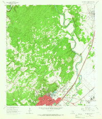 1964 San Marcos North1966 Print · USGSThe hill country transition near San Marcos and Kyle is documented here in the mid-1960s, showing the intersection of river, rail, and university life. Researchers can trace the grounds of Southwest Texas State College or find family sites at Kyle Cem and Guadalupe Cem.5 unique versions available
 - 1985 Map of Seguin, 1986 Print
 1985 Seguin1986 Print · USGSCentral Texas in the mid-1980s is defined by its vital oil industry and the crossroads of major interstate and rail networks. Genealogists and historians can trace the development of Luling Oil Field, identify the site of Old Flatonia, or locate family landmarks near St James and Palmetto State Park.2 unique versions available
 - 1995 Map of San Marcos North, 1998 Print
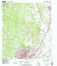 1995 San Marcos North1998 Print · USGSHays County at the end of the twentieth century shows a landscape defined by the growing corridor between San Marcos and Kyle. Trace family history at the San Vincente Cem or explore the riverfront developments near Spring Lake and Fivemile Dam Park.
 - 2010 Map of San Marcos North, 2010 Print
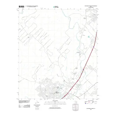 2010 San Marcos North2010 Print · USGSSan Marcos and Kyle appear at a moment of significant growth in the early twenty-first century, spanning from the university campus to the Blanco River. Researchers can trace historic preservation sites like the Belvin Street Historic District and local landmarks such as the Belger-Cahill Lime Kiln.
 - 2013 Map of San Marcos North, 2013 Print
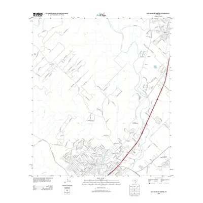 2013 San Marcos North2013 Print · USGSHays County at the start of the 2010s shows a landscape of historic preservation and modern expansion between Kyle and the river headwaters. Genealogists and historians can locate several burial sites like San Vincente Cemetery and explore the Hays County Courthouse Historic District.
 - 2016 Map of San Marcos North, 2016 Print
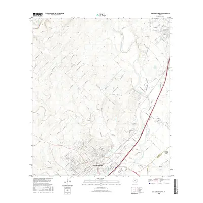 2016 San Marcos North2016 Print · USGSHays County at the height of its modern expansion shows the developing corridor between Austin and San Antonio. Researchers can trace the legacy of the Edwards Aquifer at San Marcos Springs or locate family roots at Guadalupe Cem and Kyle Cem.
 - 2019 Map of San Marcos North, 2019 Print
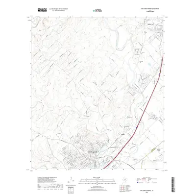 2019 San Marcos North2019 Print · USGSThe corridor between San Marcos and Kyle is shown in high detail during its recent era of rapid growth. Genealogists and local historians can locate San Vincente Cem and Guadalupe Cem or trace the waters of Spring Lake.
 - 2022 Map of San Marcos North, 2022 Print
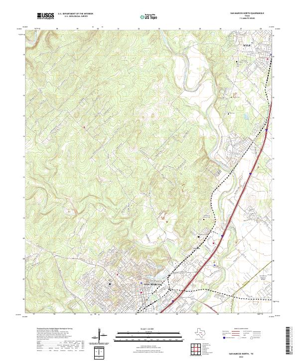 2022 San Marcos North2022 Print · USGSTexas Hill Country development and the San Marcos River headwaters are captured in this 2020s study. Researchers can trace the layout of Texas State University or locate several local burial grounds like Skyview Cem and Guadalupe Cem.
End of results
Showing maps 1-12 of 12
Frequently asked questions
- What are the different types of historical maps available for Castle Forest?
- What is the oldest map of Castle Forest?
- Where can I purchase historical maps of Castle Forest for my home or office?
- Where can I download high-res historical maps of Castle Forest?
- Are there historical topographic maps available for Castle Forest?
- Is there historical aerial imagery available for Castle Forest?
- Where are historical maps of Castle Forest sourced from?