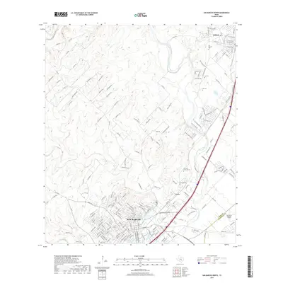
2019 Map of San Marcos North
USGS Topo · Published 2019About this map
San Marcos and Kyle are the primary focal points of this 2019 survey, illustrating the rapid suburban development along the corridor between the two cities. The hydrology of the region is a central feature, dominated by the Blanco River and the headwaters of the San Marcos River at Spring Lake. The proximity of San Marcos Springs and the nearby Weissmuller Spring highlights the area's significance as a groundwater recharge zone. Local genealogy and history are well-represented by several burial sites, including the San Vincente Cem and Kyle Cem, while the industrial and transportation footprint is marked by the San Marcos Regional Airport. Traces of the landscape's character are preserved in labels like Comanche Camp and the winding paths of Sink Cr and Purgatory Cr, which cut through the developing residential subdivisions.
Find a feature on this map
177 named features on this map. Tap any name to fly to it.
Don’t see what you’re looking for? This feature index may not catch every label — zoom into the map to look around manually.
Map Details
Editions of this 2019 San Marcos North Map
This is the sole edition of this map. No revisions or reprints were ever made.
Other maps of this area

1887 · Blanco
USGS Topo · 1:125,000

1894 · Blanco
USGS Topo · 1:125,000

1896 · Austin
USGS Topo · 1:125,000

1897 · Austin
USGS Topo · 1:125,000

1910 · Austin
USGS Topo · 1:125,000

1911 · San Marcos
USGS Topo · 1:125,000

1919 · San Marcos
USGS Topo · 1:125,000

1929 · Hunter
USGS Topo · 1:62,500

1953 · Seguin
USGS Topo · 1:250,000

1954 · Llano
USGS Topo · 1:250,000