1970s Maps of Hemphill County, Texas
Explore 11 historic maps of Hemphill County from the 1970s. These maps offer a rare glimpse into what life looked like during the 1970s — showing old roads, neighborhoods, homes, and landmarks that have changed or disappeared over time.
Whether you're researching your family's past, planning a metal detecting trip, or studying how Hemphill County's landscape evolved across the 1970s, these high-resolution maps are a powerful tool for exploring the history of this region.
- Focus on a specific era: All maps on this page are from the 1970s, giving you a focused view of this time period.
- See what’s changed: Compare century-old streets, trails, and buildings to today's modern landscape using overlays and satellite layers.
- Research with precision: Use these maps for genealogy, historical research, land use analysis, or educational projects.
- View, download, or print: Maps are fully viewable online in high resolution, and can be downloaded or printed for your own records.
Start exploring Hemphill County's history through authentic maps from the 1970s. This is your window into the past.
Hemphill County, TX maps
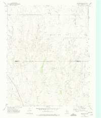
(11)- 1972 Map of Washburn Arroyo, 1974 Print
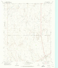
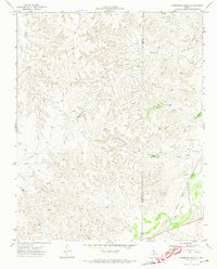 1972 Washburn Arroyo1974 Print · USGSThe Texas Panhandle in the early seventies reveals a landscape defined by energy and rail. Trace the Pipeline networks and Gas Wells that dotted the plains, or follow the Atchison Topeka and Santa Fe railroad along Red Deer Creek.
 - 1972 Map of Canadian West, 1974 Print
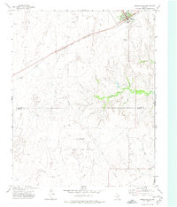
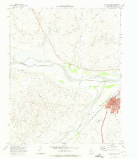 1972 Canadian West1974 Print · USGSThe Hemphill County seat of Canadian is shown in the early 1970s at the height of its energy and rail influence. Trace the town's development through the Courthouse and High Sch, or follow the Atchison Topeka and Santa Fe line across the Canadian River.
 - 1972 Map of East Dry Creek, 1974 Print
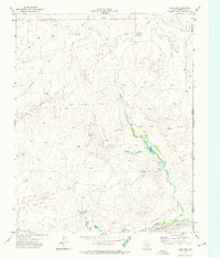
 1972 East Dry Creek1974 Print · USGSThe Texas Panhandle rangeland meets the wide Canadian River valley in the early 1970s. Researchers can trace the development of the local energy economy via numerous Oil Wells and a Pipeline, alongside landmarks like Home Ranch and a solitary Grave.
 - 1972 Map of Canadian East, 1974 Print
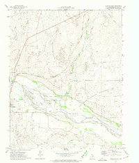 1972 Canadian East1974 Print · USGSThe Texas Panhandle comes alive in the early 1970s as the Canadian River flows past the rail lines and ranches of Hemphill County. Genealogists and historians can trace the Atchison Topeka and Santa Fe Railroad route, locate the local Cemetery, and find the Urschell Ranch and Anvil Park.
 - 1972 Map of Glazier, 1974 Print
 1972 Glazier1974 Print · USGSThe Texas Panhandle's industrial and rail landscape is on display in the early 1970s as the energy sector expands across Hemphill County. Genealogists and researchers can trace the Atchison Topeka and Santa Fe tracks to Glazier or locate rural sites like Locust Grove.
 - 1972 Map of Lake Marvin, 1974 Print
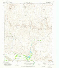 1972 Lake Marvin1974 Print · USGSThe Texas Panhandle plains meet the Canadian River during the early 1970s, revealing a landscape shaped by water and energy. Researchers can trace rural landmarks from the Gene Howe Wildlife Management Area to isolated Graves and Oil Wells.
 - 1972 Map of Dreyfoos, 1974 Print
 1972 Dreyfoos1974 Print · USGSHemphill County and the Oklahoma border are captured here in the early 1970s during a period of active oil exploration and ranching. Researchers can trace the network of oil wells around Dreyfoos or locate landmarks like Goettsche Lake and the McQuiddy Curves.
 - 1972 Map of Higgins South, 1974 Print
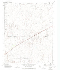
 1972 Higgins South1974 Print · USGSLipscomb County at the start of the 1970s shows a landscape defined by the Atchison Topeka and Santa Fe and the energy sector. Genealogists and researchers can trace the town of Higgins, its Municipal Airfield, and the Feldman Oil and Gas Field.
 - 1972 Map of Lipscomb SW, 1974 Print
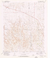
 1972 Lipscomb SW1974 Print · USGSThe Texas Panhandle's energy landscape is captured here in the early seventies as the Kelln Oil Field expanded across the Lipscomb Co line. Genealogists and researchers can locate old sites like Robbins, Todd, and the Pumping Sta along the forks of Big Timber Creek.
 - 1972 Map of Coburn, 1975 Print
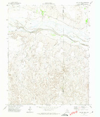
 1972 Coburn1975 Print · USGSThe Texas Panhandle in the early 1970s shows a landscape defined by ranching and the rising energy industry. Researchers can trace the path of the Atchison Topeka and Santa Fe railroad through Coburn and locate numerous early Oil Wells.
 - 1973 Map of Barton Creek, 1976 Print
 1973 Barton Creek1976 Print · USGSThe northern Panhandle at the height of the 1970s energy boom shows a landscape defined by cattle draws and resource extraction. Trace the industrial development of the four-county corner through Gas Wells, PIPELINES, and a local Pumping Sta along the banks of Barton Creek.
End of results
Showing maps 1-11 of 11
Top cities of Hemphill County
Frequently asked questions
- What are the different types of historical maps available for Hemphill County?
- What is the oldest map of Hemphill County?
- Where can I purchase historical maps of Hemphill County for my home or office?
- Where can I download high-res historical maps of Hemphill County?
- Are there historical topographic maps available for Hemphill County?
- Is there historical aerial imagery available for Hemphill County?
- Where are historical maps of Hemphill County sourced from?