2000s (21st Century) Maps of Hemphill County, Texas
Explore 125 historic maps of Hemphill County from the 2000s (21st Century). These maps offer a rare glimpse into what life looked like during the 2000s — showing old roads, neighborhoods, homes, and landmarks that have changed or disappeared over time.
Whether you're researching your family's past, planning a metal detecting trip, or studying how Hemphill County's landscape evolved across the 2000s, these high-resolution maps are a powerful tool for exploring the history of this region.
- Focus on a specific era: All maps on this page are from the 2000s, giving you a focused view of this time period.
- See what’s changed: Compare century-old streets, trails, and buildings to today's modern landscape using overlays and satellite layers.
- Research with precision: Use these maps for genealogy, historical research, land use analysis, or educational projects.
- View, download, or print: Maps are fully viewable online in high resolution, and can be downloaded or printed for your own records.
Start exploring Hemphill County's history through authentic maps from the 2000s. This is your window into the past.
Hemphill County, TX maps
(125)- 2010 Map of East Dry Creek, 2010 Print
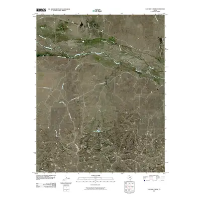 2010 East Dry Creek2010 Print · USGSRoberts County ranching country and the wide, braided valley of the Canadian River are captured here in the early twenty-first century. Genealogists and local historians can trace family land access via Quarter Horse Rd and locate the Jim Waterfield Lake reservoir.
 - 2010 Map of Canadian West, 2010 Print
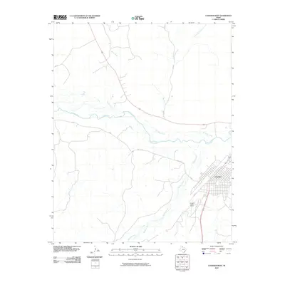 2010 Canadian West2010 Print · USGSThe Texas Panhandle town of Canadian is shown at the turn of the decade, nestled near the significant bend of the Canadian River. Genealogists and local historians can trace the town's layout near Cedar St and locate the Hemphill County Airport south of Red Deer Creek.
 - 2010 Map of Lora, 2010 Print
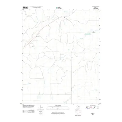 2010 Lora2010 Print · USGSRoberts County at the start of the 2010s shows a landscape defined by the Washita River and critical water management infrastructure. Researchers can locate the Miami-Roberts County Airport and trace rural land use through features like the Soil Conservation Service Site 1 Reservoir and Gill Lake.
 - 2010 Map of Glazier, 2010 Print
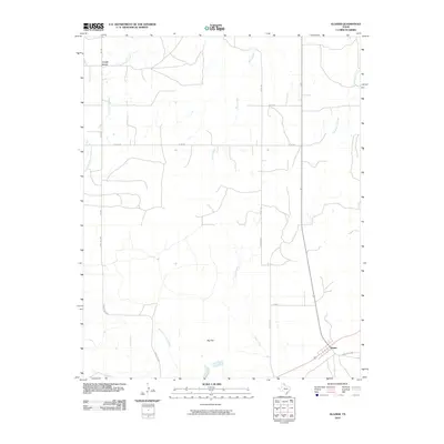 2010 Glazier2010 Print · USGSThe high plains of the Texas Panhandle are documented here during the early twenty-first century, showing a landscape of scattered ranching settlements and winding creek beds. Researchers can trace the rural infrastructure around Locust Grove and Glazier, or locate landmarks like Big Flat and Cottonwood Creek.
 - 2010 Map of Canadian SE, 2010 Print
 2010 Canadian SE2010 Print · USGSHemphill County ranching country is documented here in the early twenty-first century as the landscape was shaped by water conservation efforts. Genealogists and researchers can trace family-named routes like Charley Brown Rd or locate Cleveland Lake and the Dry Fork Washita River.
 - 2010 Map of Allison SW, 2010 Print
 2010 Allison SW2010 Print · USGSWheeler County in the early twenty-first century reveals a landscape of sprawling ranchlands and quiet creek beds. Researchers can trace the pathways of Goodin Creek and find family history at Zybach Cemetery or the local waters of Ed Unsen Lake.
 - 2010 Map of Briscoe, 2010 Print
 2010 Briscoe2010 Print · USGSBriscoe and the surrounding Hemphill County ranch lands are captured here in the early 21st century, revealing a landscape shaped by water management. Genealogists and local historians can trace the rural routes connecting Briscoe and Gageby or locate landmarks like Lake Fensterwald and Bankhead Mound.
 - 2010 Map of Canadian East, 2010 Print
 2010 Canadian East2010 Print · USGSThe Texas Panhandle comes into focus here in the early twenty-first century, centered on the braided channels of the Canadian River. Trace ranching history through landmarks like Urschell Ranch, Anvil Park, and the landing strip at Urschel Ranch Airport.
 - 2010 Map of Barton Creek, 2010 Print
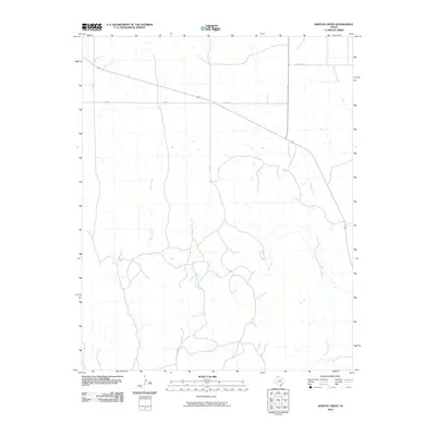 2010 Barton Creek2010 Print · USGSThe Texas Panhandle's ranching country is captured here in the early twenty-first century, showing the rural landscape of Lipscomb County. Researchers can trace the drainage of Barton Creek and Morgan Creek or locate the settlement area of Locust Grove.
 - 2010 Map of Coburn, 2010 Print
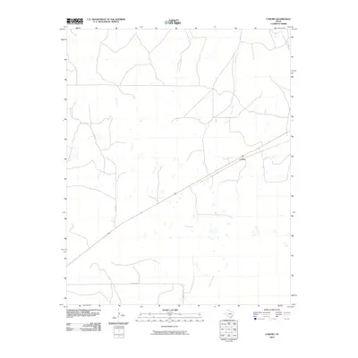 2010 Coburn2010 Print · USGSThe Texas Panhandle near the Oklahoma border is shown here in the early twenty-first century, revealing a landscape of high plains ranching. Genealogists and local historians can trace rural routes like Bill Hext and identify landmarks near Coburn and Canyon Creek.
 - 2010 Map of Dads Creek, 2010 Print
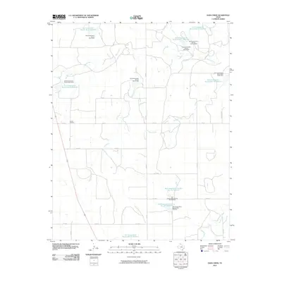 2010 Dads Creek2010 Print · USGSHemphill County in the Texas Panhandle is documented here during the early twenty-first century, showcasing a landscape shaped by the Washita River. Researchers can locate the Washita Cemetery and trace the extensive watershed management projects including Dads Creek and its many conservation reservoirs.
 - 2010 Map of Dreyfoos, 2010 Print
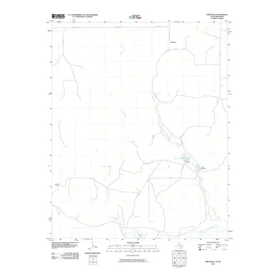 2010 Dreyfoos2010 Print · USGSHemphill County and the Panhandle high plains are captured here in the early twenty-first century, just north of the Canadian River. Trace the rural water systems and ranch roads of the region, from the Oasis Lake Dam and Dreyfoos to the McQuiddy Curves.
 - 2010 Map of Young Ranch, 2010 Print
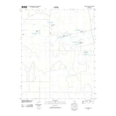 2010 Young Ranch2010 Print · USGSHemphill County ranching country is captured here during a period of significant water conservation and land management in the Texas Panhandle. Researchers can trace historic property boundaries at Young Ranch and Arrington Ranch or locate the various Washita River dams.
 - 2010 Map of Blue Ridge School, 2010 Print
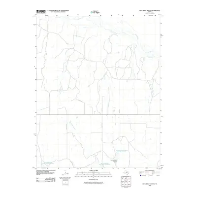 2010 Blue Ridge School2010 Print · USGSHemphill County, Texas, is documented here in the early twenty-first century, showing a landscape defined by the Canadian River and vital water management. You can trace family-named routes like Walter Eubanks and locate numerous irrigation landmarks including the Soil Conservation Service Site 15a Dam.
 - 2010 Map of Lipscomb SW, 2010 Print
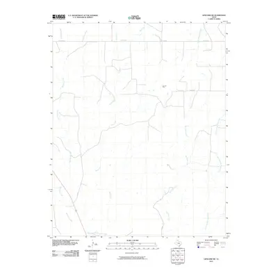 2010 Lipscomb SW2010 Print · USGSLipscomb County in the early twenty-first century reveals a landscape of energy production and ranching. Researchers can trace the drainage of Big Timber Creek and Horse Creek or locate local landmarks like the Kelln Oil Field and Locust Grove.
 - 2010 Map of Lake June, 2010 Print
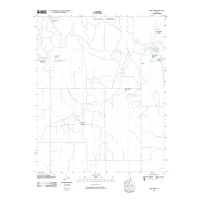 2010 Lake June2010 Print · USGSHemphill County’s rural water systems and ranching heritage are prominent in this 2010 study of the Texas Panhandle. Genealogists and historians can locate the Elam Cemetery, Cataline Cemetery, and the ancient Indian Mound near the Washita River.
 - 2010 Map of Mendota, 2010 Print
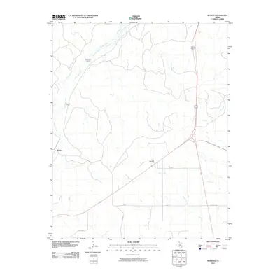 2010 Mendota2010 Print · USGSHemphill County at the turn of the decade reveals a landscape where rail and ranching infrastructure meet. Genealogists and researchers can trace the vicinity of Mendota, the Gas Plant, and the drainage of Red Deer Creek and Abraham Lake Dam.
 - 2010 Map of Mobeetie, 2010 Print
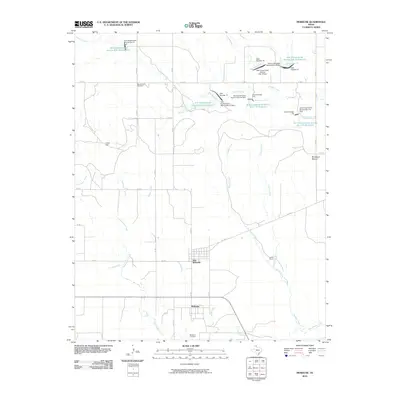 2010 Mobeetie2010 Print · USGSThe Texas Panhandle comes into focus during the early twenty-first century as the cattle and farming landscape of Wheeler County is mapped in detail. Genealogists and local historians can locate Mobeetie Cemetery, the historic grounds of Mobeetie, and the prominent Bankhead Mound.
 - 2010 Map of Totty School, 2010 Print
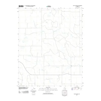 2010 Totty School2010 Print · USGSGray County ranch lands are captured here in the early twenty-first century, showing a landscape defined by seasonal creek beds and rural school sites. Trace the drainage of Sweetwater Creek and Cowboy Creek or locate the historic Totty School.
 - 2010 Map of Washburn Arroyo, 2010 Print
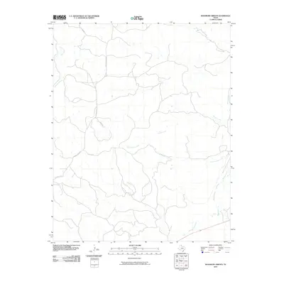 2010 Washburn Arroyo2010 Print · USGSThe Texas Panhandle's ranching country is documented here in the early 2000s, showing a landscape defined by the drainage of Red Deer Creek. Genealogists and historians can trace local land access through routes like Quarter Horse Rd and Lister Rd.
 - 2010 Map of Allison, 2010 Print
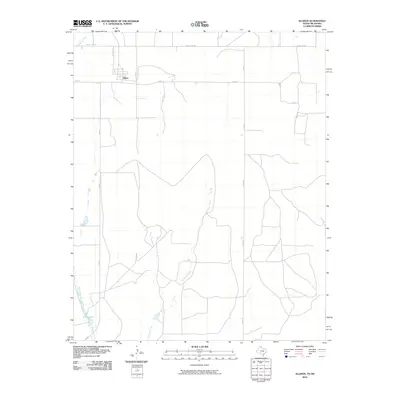 2010 Allison2010 Print · USGSAllison and the surrounding ranchlands near the Oklahoma border are shown here at the start of the 2010s. Local researchers can trace the rural road network connecting Allison to Frye Lakes and the drainages of Murtaugh Creek and Williams Creek.
 - 2010 Map of Higgins South, 2010 Print
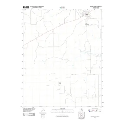 2010 Higgins South2010 Print · USGSThe Texas-Oklahoma borderlands around the town of Higgins are captured here in the early twenty-first century. Genealogists and local historians can trace the rural landscape from Higgins-Lipscomb County Airport to the Feldman Oil and Gas Field.
 - 2010 Map of Lake Marvin, 2010 Print
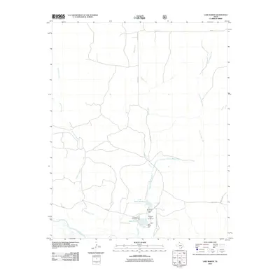 2010 Lake Marvin2010 Print · USGSHemphill County’s panhandle landscape is shown in the early twenty-first century, centered on its managed waterways and creek systems. Genealogists and researchers can trace local landmarks like Lake Marvin, the M K Brown Reservoir, and the Old Military Road Campground.
 - 2010 Map of Hackberry Creek, 2010 Print
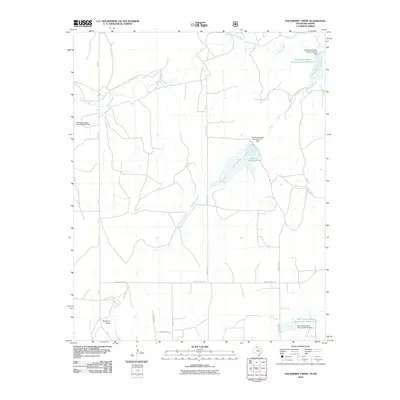 2010 Hackberry Creek2010 Print · USGSWestern Oklahoma’s ranching landscape is defined by the winding Washita River and a network of mid-century water management projects. Researchers can trace land use and watershed history through features like Huston Stickley Lake and Mulberry Draw.
 - 2010 Map of Gem, 2010 Print
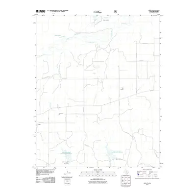 2010 Gem2010 Print · USGSThe Texas Panhandle near the Oklahoma border is captured here during a period of modern land conservation and ranching. You can trace the rural landscape through family-interest sites like Prairie Dell Cemetery and the landmark Rattlesnake Hill.
Showing maps 1-25 of 125
Top cities of Hemphill County
Frequently asked questions
- What are the different types of historical maps available for Hemphill County?
- What is the oldest map of Hemphill County?
- Where can I purchase historical maps of Hemphill County for my home or office?
- Where can I download high-res historical maps of Hemphill County?
- Are there historical topographic maps available for Hemphill County?
- Is there historical aerial imagery available for Hemphill County?
- Where are historical maps of Hemphill County sourced from?